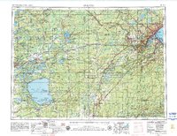
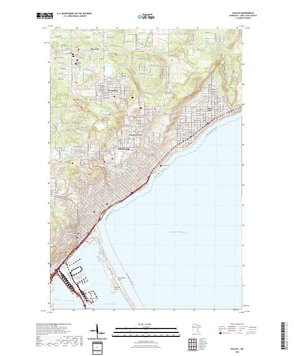
1953 Map of Duluth
USGS Topo · Published 1980About this map
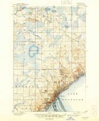
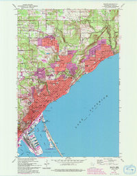
Duluth and Superior anchor the western tip of the lake on this mid-century survey, revealing a region defined by complex waterways and heavy industry. The map captures the industrial character of the Mesabi Range and Cuyuna Range, where numerous shafts and prospects indicate the proximity to iron ore production. The landscape is a mix of protected wildlands and tribal territories, including the Fond Du Lac Indian Reservation and the Mille Lac Indian Reservation.
Find a feature on this map
193 named features on this map. Tap any name to fly to it.
Don’t see what you’re looking for? This feature index may not catch every label — zoom into the map to look around manually.
Map Details
Editions of this 1953 Duluth Map
2 editions found

Historical Maps of Duluth Through Time
11 maps found
1895 Duluth
St. Louis County, MN

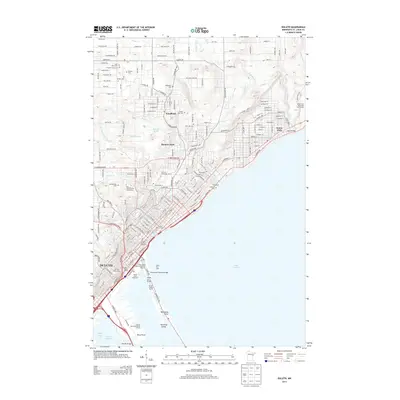
1953 Duluth
St. Louis County, MN
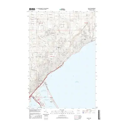
1953 Duluth
St. Louis County, MN
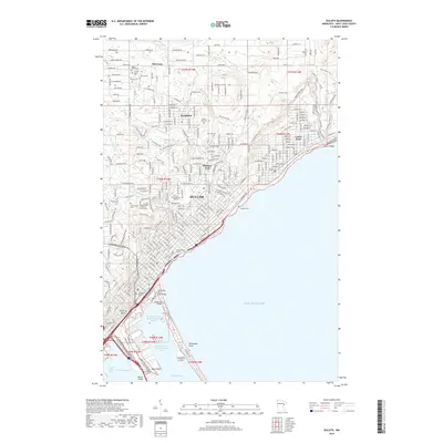
1953 Duluth
St. Louis County, MN

1958 Duluth
St. Louis County, MN

1980 Duluth
St. Louis County, MN
2010 Duluth
St. Louis County, MN
2013 Duluth
St. Louis County, MN
2016 Duluth
St. Louis County, MN
2019 Duluth
St. Louis County, MN
2022 Duluth
St. Louis County, MN