
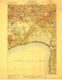
1916 Map of Wealthwood
USGS Topo · Published 1916About this map
The northern shoreline of Mille Lacs Lake defines this 1914 survey, capturing a landscape of dense water bodies and early rural infrastructure in Aitkin County. Small lakeside settlements such as Wealthwood and Malmo serve as anchors for a dispersed farming community, characterized by a high density of neighborhood schoolhouses. Local education is mapped with precision, showing family and neighborhood institutions like Butts School, Hillview School, Tanners School, and Erick School.
Find a feature on this map
54 named features on this map. Tap any name to fly to it.
Don’t see what you’re looking for? This feature index may not catch every label — zoom into the map to look around manually.
Map Details
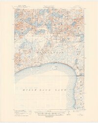
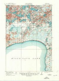
Editions of this 1916 Wealthwood Map
4 editions found
Other maps of this area

1912 · Deerwood
USGS Topo · 1:62,500

1913 · Cuyuna
USGS Topo · 1:62,500

1914 · Deerwood
USGS Topo · 1:62,500

1914 · Aitkin
USGS Topo · 1:62,500

1915 · Aitkin
USGS Topo · 1:62,500

1915 · Cuyuna
USGS Topo · 1:62,500

1953 · Duluth
USGS Topo · 1:250,000

1958 · Duluth
USGS Topo · 1:250,000

1968 · Onamia NW
USGS Topo · 1:24,000

1968 · Wahkon North
USGS Topo · 1:24,000