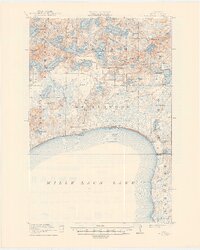
1916 Map of Wealthwood
USGS Topo · Published 1949About this map
The north shore of Mille Lacs Lake reveals a landscape defined by its intricate network of water and small-town infrastructure in the early twentieth century. This survey, conducted in cooperation with the State of Minnesota State Drainage Commission, highlights the transition of the northern woods into organized townships like Wealthwood, Norland, and Hazelton. The prevalence of local schools, such as Hillview School and Carlson School, speaks to the dispersed settlement pattern of the era, where small rural communities were anchored by these education hubs.
Find a feature on this map
54 named features on this map. Tap any name to fly to it.
Don’t see what you’re looking for? This feature index may not catch every label — zoom into the map to look around manually.
Map Details
Editions of this 1916 Wealthwood Map
4 editions found
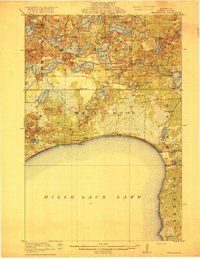
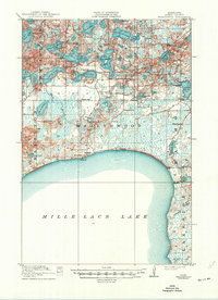
Other maps of this area

1912 · Deerwood
USGS Topo · 1:62,500

1913 · Cuyuna
USGS Topo · 1:62,500

1914 · Deerwood
USGS Topo · 1:62,500

1914 · Aitkin
USGS Topo · 1:62,500

1915 · Aitkin
USGS Topo · 1:62,500

1915 · Cuyuna
USGS Topo · 1:62,500

1916 · Wealthwood
USGS Topo · 1:62,500

1953 · Duluth
USGS Topo · 1:250,000

1958 · Duluth
USGS Topo · 1:250,000

1968 · Onamia NW
USGS Topo · 1:24,000