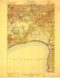
1916 Map of Wealthwood
USGS Topo · Published 1916About this map
Mille Lacs Lake dominates the southern landscape of this 1914 survey, where the settlement of Wealthwood sits on the northern shore at Knox Pt. This era of development in Aitkin County is defined by a dense network of rural school districts and family-named landmarks. The interior is a complex mosaic of wetlands and small lakes, including Elm Island Lake and Mud Lake, connected by the Mud River.
Find a feature on this map
54 named features on this map. Tap any name to fly to it.
Don’t see what you’re looking for? This feature index may not catch every label — zoom into the map to look around manually.
Map Details
Editions of this 1916 Wealthwood Map
4 editions found
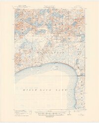
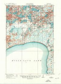
Other maps of this area

1912 · Deerwood
USGS Topo · 1:62,500

1913 · Cuyuna
USGS Topo · 1:62,500

1914 · Deerwood
USGS Topo · 1:62,500

1914 · Aitkin
USGS Topo · 1:62,500

1915 · Aitkin
USGS Topo · 1:62,500

1915 · Cuyuna
USGS Topo · 1:62,500

1916 · Wealthwood
USGS Topo · 1:62,500

1953 · Duluth
USGS Topo · 1:250,000

1958 · Duluth
USGS Topo · 1:250,000

1968 · Onamia NW
USGS Topo · 1:24,000