
1915 Map of Aitkin
USGS Topo · Published 1915About this map
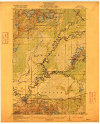
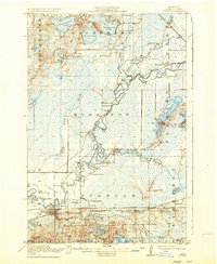
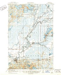
The Mississippi River carves a winding path through this 1914 survey, defining the industrial and civic layout of the region. The village of Aitkin serves as a critical junction for the Northern Pacific and the Minneapolis St Paul and Sault Ste Marie railroads, anchoring the local economy at the edge of Pickerel Lake. To the north and east, the landscape is heavily influenced by the drainage patterns of the Willow River and Rice River, creating a terrain of wetlands and numerous named lakes like Esquagamah Lake and Waukenabo Lake.
Find a feature on this map
49 named features on this map. Tap any name to fly to it.
Don’t see what you’re looking for? This feature index may not catch every label — zoom into the map to look around manually.
Map Details
Editions of this 1915 Aitkin Map
4 editions found
Other maps of this area

1912 · Deerwood
USGS Topo · 1:62,500

1913 · Cuyuna
USGS Topo · 1:62,500

1914 · Deerwood
USGS Topo · 1:62,500

1914 · Aitkin
USGS Topo · 1:62,500

1915 · Cuyuna
USGS Topo · 1:62,500

1916 · Wealthwood
USGS Topo · 1:62,500

1953 · Duluth
USGS Topo · 1:250,000

1958 · Duluth
USGS Topo · 1:250,000

1969 · Thor
USGS Topo · 1:24,000

1970 · Kimberly
USGS Topo · 1:24,000