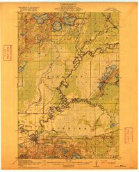
1915 Map of Aitkin
USGS Topo · Published 1915About this map
The Mississippi River defines the winding character of this Aitkin County landscape, meandering through a network of wetlands and river valleys at the height of early 20th-century settlement. The town of Aitkin serves as the primary hub, where the Minneapolis St Paul and Sault Ste Marie railroad intersects with the river economy. To the north and east, the map reveals a wilderness transitioning into a rural community, marked by a systematic network of numbered school districts such as School No 6 and School No 77. The landscape is saturated with significant water bodies including Waukenabo Lake, Esquagamah Lake, and Gun Lake, while the Willow River and its many tributaries, like the Little Willow River, create a complex hydrologic profile. Small outposts such as Waldeck, Hassman, and Rossburg punctuate the rail lines and riverbanks, offering a look at the early development of Morrison and Spencer townships.
Find a feature on this map
48 named features on this map. Tap any name to fly to it.
Don’t see what you’re looking for? This feature index may not catch every label — zoom into the map to look around manually.
Map Details
Editions of this 1915 Aitkin Map
4 editions found
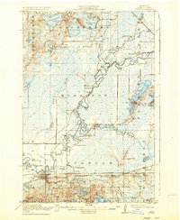
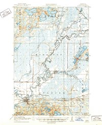
Other maps of this area

1912 · Deerwood
USGS Topo · 1:62,500

1913 · Cuyuna
USGS Topo · 1:62,500

1914 · Deerwood
USGS Topo · 1:62,500

1914 · Aitkin
USGS Topo · 1:62,500

1915 · Aitkin
USGS Topo · 1:62,500

1915 · Cuyuna
USGS Topo · 1:62,500

1916 · Wealthwood
USGS Topo · 1:62,500

1953 · Duluth
USGS Topo · 1:250,000

1958 · Duluth
USGS Topo · 1:250,000

1969 · Thor
USGS Topo · 1:24,000