
1915 Map of Cuyuna
USGS Topo · Published 1915About this map
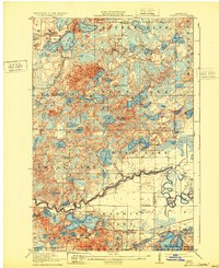
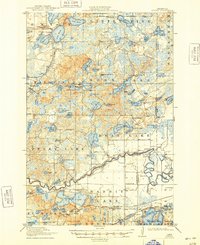
Emily and Manganese serve as the primary anchors for this early twentieth-century landscape, a region defined by an intricate network of waterways and the burgeoning infrastructure of the Iron Range. The Mississippi River winds through the southern portion of the quadrangle, where the Northern Pacific and Minneapolis St Paul and Sault Ste Marie railroads intersect, facilitating the movement of materials through towns like Cuyuna. This era represents a peak for rural education, evidenced by the high density of district schools including School No 98, Mud Brook School, and Kealey School dotted throughout township lands.
Find a feature on this map
81 named features on this map. Tap any name to fly to it.
Don’t see what you’re looking for? This feature index may not catch every label — zoom into the map to look around manually.
Map Details
Editions of this 1915 Cuyuna Map
3 editions found
Other maps of this area

1912 · Deerwood
USGS Topo · 1:62,500

1913 · Cuyuna
USGS Topo · 1:62,500

1914 · Deerwood
USGS Topo · 1:62,500

1914 · Aitkin
USGS Topo · 1:62,500

1915 · Aitkin
USGS Topo · 1:62,500

1915 · Brainerd
USGS Topo · 1:62,500

1916 · Wealthwood
USGS Topo · 1:62,500

1918 · Brainerd
USGS Topo · 1:62,500

1953 · Duluth
USGS Topo · 1:250,000

1953 · Brainerd
USGS Topo · 1:250,000