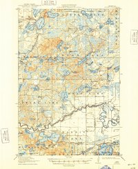
1915 Map of Cuyuna
USGS Topo · Published 1948About this map
The Mississippi River and Little Pine River wind through a dense network of glacial lakes and wetlands in this early twentieth-century survey of the Cuyuna Iron Range region. The landscape is dotted with rural education centers such as School No 53, the Mud Brook School, and the Keeler School, illustrating the dispersed nature of settlement during this era. The southern portion of the map reveals the industrial heart of the area, featuring the settlement of Cuyuna and the Iron Hub landmark. Transport for the region's burgeoning resource economy is provided by the Minneapolis St Paul Sault Ste Marie and Northern Pacific railroad, which skirts the shores of Rabbit Lake. To the north, the village of Emily sits nestled between Lake Emily and Ruth Lake, serving as a focal point for the surrounding townships of Fairfield, Little Pine, and Ross Lake.
Find a feature on this map
92 named features on this map. Tap any name to fly to it.
Don’t see what you’re looking for? This feature index may not catch every label — zoom into the map to look around manually.
Map Details
Editions of this 1915 Cuyuna Map
3 editions found
Other maps of this area

1912 · Deerwood
USGS Topo · 1:62,500

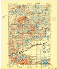
1913 · Cuyuna
USGS Topo · 1:62,500

1914 · Deerwood
USGS Topo · 1:62,500

1914 · Aitkin
USGS Topo · 1:62,500

1915 · Aitkin
USGS Topo · 1:62,500

1915 · Cuyuna
USGS Topo · 1:62,500

1915 · Brainerd
USGS Topo · 1:62,500

1916 · Wealthwood
USGS Topo · 1:62,500

1918 · Brainerd
USGS Topo · 1:62,500

1953 · Duluth
USGS Topo · 1:250,000