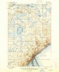
1895 Map of Duluth
USGS Topo · Published 1944About this map
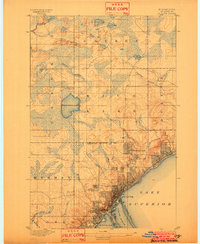
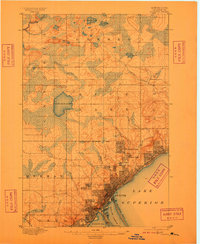
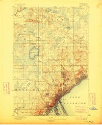
Duluth sits at the edge of Lake Superior, showing a dense urban grid that transitions into the developing neighborhoods of Woodland Park, Lester Park, and Hunter Park. The 1893 surveying by H. L. Baldwin Jr. reveals a city defined by its water access, from the industrial activity at St Louis Bay to the natural protective barrier of Minnesota Point. Further inland, the map details the townships of Hermantown and Rice Lake, where the landscape is dominated by glacial features like Wild Rice Lake and the Cloquet River. The infrastructure of the era is anchored by the N. P. R. R. and the S. T. P. & D. R. R., which connect the port to the broader region during a period of significant growth for this northern commerce hub.
Find a feature on this map
30 named features on this map. Tap any name to fly to it.
Don’t see what you’re looking for? This feature index may not catch every label — zoom into the map to look around manually.
Map Details
Editions of this 1895 Duluth Map
5 editions found
Other maps of this area

1895 · Duluth
USGS Topo · 1:62,500

1915 · Superior
USGS Topo · 1:48,000

1917 · Superior
USGS Topo · 1:62,500

1949 · Poplar
USGS Topo · 1:48,000

1953 · Twig
USGS Topo · 1:24,000

1953 · Shaw
USGS Topo · 1:24,000

1953 · Lakewood
USGS Topo · 1:24,000

1953 · French River
USGS Topo · 1:24,000

1953 · Adolph
USGS Topo · 1:24,000

1953 · Arnold
USGS Topo · 1:24,000