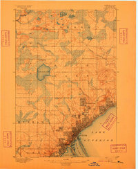
1895 Map of Duluth
USGS Topo · Published 1909About this map
Duluth and its surrounding harbor districts dominate the shoreline of Lake Superior in this late nineteenth-century topographic survey. The intricate street grid of the city expands toward West Duluth and Duluth Heights, while the distinctive sand spit of Minnesota Point defines the separation between the open lake and Duluth Harbor. This period marks a significant era of urban growth, evidenced by the established Duluth City Boundary Line and the development of suburbs like Woodland Park and Lester Park near the mouth of Lester River.
Find a feature on this map
31 named features on this map. Tap any name to fly to it.
Don’t see what you’re looking for? This feature index may not catch every label — zoom into the map to look around manually.
Map Details
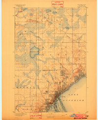
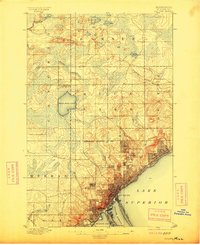
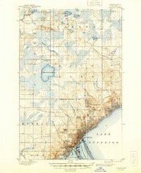
Editions of this 1895 Duluth Map
5 editions found
Other maps of this area

1895 · Duluth
USGS Topo · 1:62,500

1915 · Superior
USGS Topo · 1:48,000

1917 · Superior
USGS Topo · 1:62,500

1949 · Poplar
USGS Topo · 1:48,000

1953 · Twig
USGS Topo · 1:24,000

1953 · Shaw
USGS Topo · 1:24,000

1953 · Lakewood
USGS Topo · 1:24,000

1953 · French River
USGS Topo · 1:24,000

1953 · Adolph
USGS Topo · 1:24,000

1953 · Arnold
USGS Topo · 1:24,000