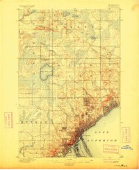
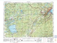
1895 Map of Duluth
USGS Topo · Published 1914About this map
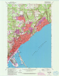
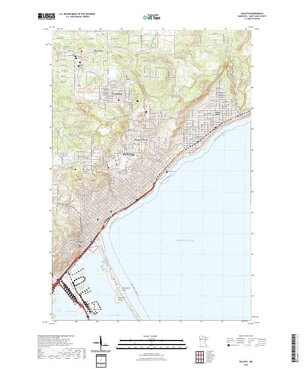
Duluth and its developing neighborhoods are captured here during a pivotal era of industrial expansion at the western tip of Lake Superior. The city’s core is dense with early infrastructure, concentrated around Duluth Harbor and the protective arm of Minnesota Point. Established residential areas like Woodland Park, Lester Park, and Hunter Park are shown in their early grid-iron layouts, while West Duluth sits as a distinct industrial node to the southwest.
Find a feature on this map
31 named features on this map. Tap any name to fly to it.
Don’t see what you’re looking for? This feature index may not catch every label — zoom into the map to look around manually.
Map Details
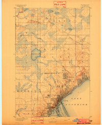
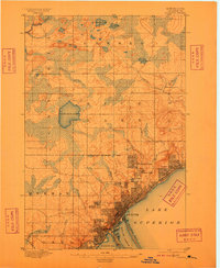
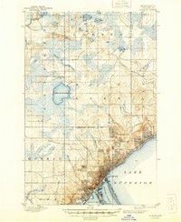
Editions of this 1895 Duluth Map
5 editions found

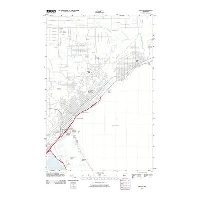
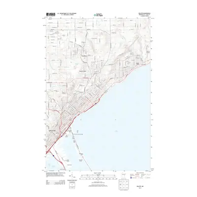
Historical Maps of Duluth Through Time
11 maps found
1895 Duluth
St. Louis County, MN

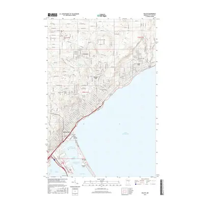
1953 Duluth
St. Louis County, MN
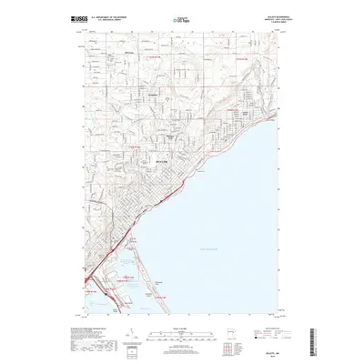
1953 Duluth
St. Louis County, MN
1953 Duluth
St. Louis County, MN

1958 Duluth
St. Louis County, MN

1980 Duluth
St. Louis County, MN
2010 Duluth
St. Louis County, MN
2013 Duluth
St. Louis County, MN
2016 Duluth
St. Louis County, MN
2019 Duluth
St. Louis County, MN
2022 Duluth
St. Louis County, MN