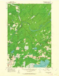
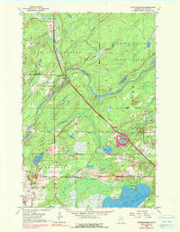
1953 Map of Independence
USGS Topo · Published 1963About this map
The Cloquet River cuts a wide, winding path through this Northwoods landscape in the early 1950s, anchoring a region defined by its timbered state forests and scattered rural outposts. Within the Cloquet Valley State Forest, a strategically placed Lookout Tower once monitored the dense canopy for fire. The small community of Independence serves as the local hub, supported by essential community landmarks like the Independence Cem and the Twig Chapel to the southeast.
Find a feature on this map
28 named features on this map. Tap any name to fly to it.
Don’t see what you’re looking for? This feature index may not catch every label — zoom into the map to look around manually.
Map Details
Editions of this 1953 Independence Map
6 editions found
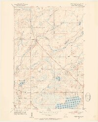
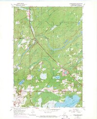
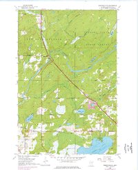
Other maps of this area

1953 · Twig
USGS Topo · 1:24,000

1953 · Canyon
USGS Topo · 1:24,000

1953 · Shaw
USGS Topo · 1:24,000

1953 · Saginaw
USGS Topo · 1:24,000

1953 · Payne
USGS Topo · 1:24,000

1953 · Adolph
USGS Topo · 1:24,000

1953 · Alborn
USGS Topo · 1:24,000

1953 · Brookston
USGS Topo · 1:24,000

1953 · Independence
USGS Topo · 1:24,000

1953 · Duluth
USGS Topo · 1:250,000