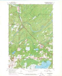
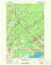
1953 Map of Independence
USGS Topo · Published 1971About this map
Independence sits at the junction of waterways and emerging transportation corridors in the heart of the Cloquet Valley State Forest. This mid-century landscape is defined by the winding course of the Cloquet River and a significant Railroad Under Construction that cuts diagonally across the terrain toward the Industrial Grade Railroad in the south. The area's social fabric is anchored by sites like St Johns Ch and its associated St Johns Cem, alongside Twig Chapel and the Independence Cem. The map captures a transition toward managed natural resources and recreation, evidenced by numerous gravel pits and the presence of Harnell Park on the northern shore of Grand Lake. From the Lookout Tower to the marshy edges of Mud Lake and Sunset Lake, the topography illustrates the complex drainage patterns of St. Louis County before modern development altered these woodlands.
Find a feature on this map
24 named features on this map. Tap any name to fly to it.
Don’t see what you’re looking for? This feature index may not catch every label — zoom into the map to look around manually.
Map Details
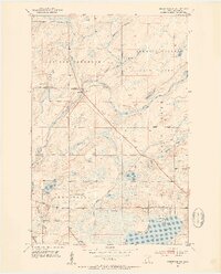
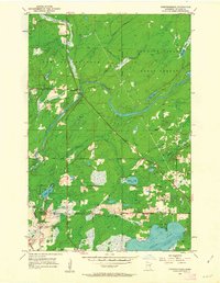
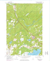
Editions of this 1953 Independence Map
6 editions found
Other maps of this area

1953 · Twig
USGS Topo · 1:24,000

1953 · Canyon
USGS Topo · 1:24,000

1953 · Shaw
USGS Topo · 1:24,000

1953 · Saginaw
USGS Topo · 1:24,000

1953 · Payne
USGS Topo · 1:24,000

1953 · Adolph
USGS Topo · 1:24,000

1953 · Alborn
USGS Topo · 1:24,000

1953 · Brookston
USGS Topo · 1:24,000

1953 · Independence
USGS Topo · 1:24,000

1953 · Duluth
USGS Topo · 1:250,000