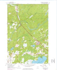
1953 Map of Independence
USGS Topo · Published 1976About this map
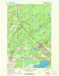
The Cloquet River winds through this northern landscape, which was dominated in the mid-20th century by a mix of forestry and small rural settlements. The small community of Independence serves as a focal point near the Independence Cem, while the southern portion of the quadrangle shows the growth of lakeside communities around Grand Lake and Sunset Lake. The D M & I R Railroad cuts a straight path across the terrain, illustrating the importance of rail transport for the region's industry and iron ore transit. Local social life and heritage are anchored by features like the Twig Chapel, St Johns Cem, and recreation at Harnell Park. Much of the northeast is preserved within the Cloquet Valley State Forest, where Hellwig Creek and Chicken Creek feed into the river system.
Find a feature on this map
25 named features on this map. Tap any name to fly to it.
Don’t see what you’re looking for? This feature index may not catch every label — zoom into the map to look around manually.
Map Details
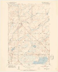
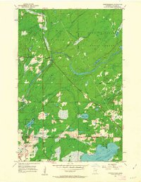
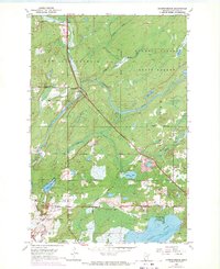
Editions of this 1953 Independence Map
6 editions found
Other maps of this area

1953 · Twig
USGS Topo · 1:24,000

1953 · Canyon
USGS Topo · 1:24,000

1953 · Shaw
USGS Topo · 1:24,000

1953 · Saginaw
USGS Topo · 1:24,000

1953 · Payne
USGS Topo · 1:24,000

1953 · Adolph
USGS Topo · 1:24,000

1953 · Alborn
USGS Topo · 1:24,000

1953 · Brookston
USGS Topo · 1:24,000

1953 · Independence
USGS Topo · 1:24,000

1953 · Duluth
USGS Topo · 1:250,000