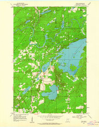
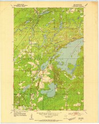
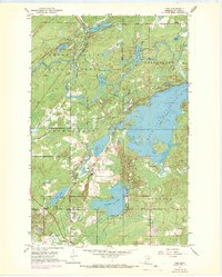
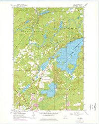
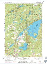
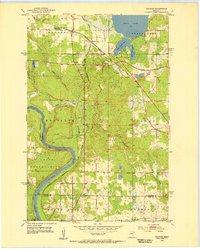
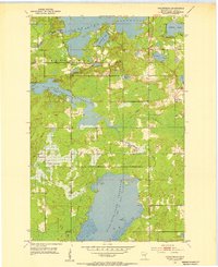
1953 Map of Twig
USGS Topo · Published 1962About this map
Cloquet State Forest dominates the northern reaches of this map, where the Cloquet River and Us-kab-wan-ka River wind through timberlands. Central to the landscape is the Fish Lake Reservoir, held by the Fish Lake Dam and surrounded by a network of smaller water bodies including Caribou Lake and Bergen Lake. The mid-century human geography is defined by small settlements like Taft and Twig, alongside the Duluth Winnipeg and Pacific railroad line. Local historical landmarks provide valuable context for genealogists, including the Caribou Lake Sch, the Grand Lake Cem, and the County Farm near the reservoir. The map reveals a transition between the wilder forest boundaries and the rural development of Grand Lake and Canosia townships.
Find a feature on this map
27 named features on this map. Tap any name to fly to it.
Don’t see what you’re looking for? This feature index may not catch every label — zoom into the map to look around manually.
Map Details
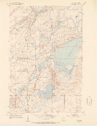
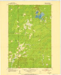
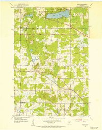
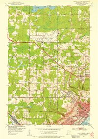
Editions of this 1953 Twig Map
6 editions found
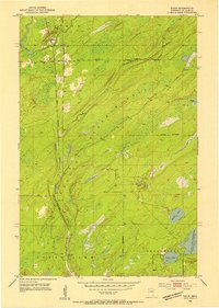
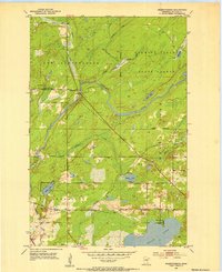
Other maps of this area

1895 · Duluth
USGS Topo · 1:62,500
1953 · Twig
USGS Topo · 1:24,000
1953 · Canyon
USGS Topo · 1:24,000
1953 · Shaw
USGS Topo · 1:24,000
1953 · Saginaw
USGS Topo · 1:24,000
1953 · Adolph
USGS Topo · 1:24,000
1953 · Duluth Heights
USGS Topo · 1:24,000
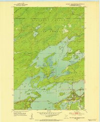
1953 · Boulder Lake Reservoir
USGS Topo · 1:24,000
1953 · Fredenberg
USGS Topo · 1:24,000
1953 · Independence
USGS Topo · 1:24,000
Featured Places
- Canosia Township, MN
- Fredenberg Township, MN
- Grand Lake Township, MN
- Twig Station, Grand Lake Township
- Twig, Grand Lake Township