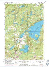
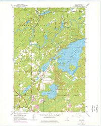
1953 Map of Twig
USGS Topo · Published 1992About this map
Cloquet Valley State Forest dominates the northern reaches of this map, where the Cloquet River and its tributaries, including the Us-Kab-Wan-Ka River and Beaver River, carve through the glacial landscape. The eastern portion is defined by the extensive waters of Fish Lake Reservoir, controlled by the Fish Lake Dam. This mid-century survey captures the region's transition from timber and wilderness management toward recreational and residential utility, particularly around the southern lakes.
Find a feature on this map
28 named features on this map. Tap any name to fly to it.
Don’t see what you’re looking for? This feature index may not catch every label — zoom into the map to look around manually.
Map Details
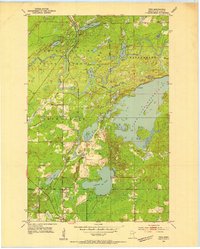
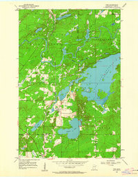
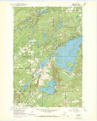
Editions of this 1953 Twig Map
6 editions found
Other maps of this area

1895 · Duluth
USGS Topo · 1:62,500

1953 · Twig
USGS Topo · 1:24,000

1953 · Canyon
USGS Topo · 1:24,000

1953 · Shaw
USGS Topo · 1:24,000

1953 · Saginaw
USGS Topo · 1:24,000

1953 · Adolph
USGS Topo · 1:24,000

1953 · Duluth Heights
USGS Topo · 1:24,000

1953 · Boulder Lake Reservoir
USGS Topo · 1:24,000

1953 · Fredenberg
USGS Topo · 1:24,000

1953 · Independence
USGS Topo · 1:24,000