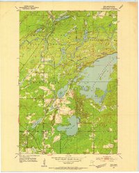
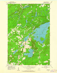
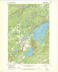
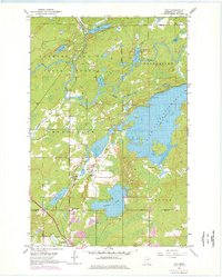
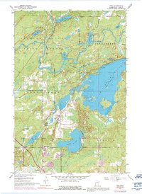
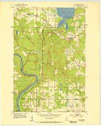
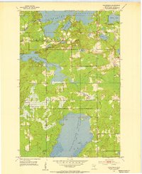
1953 Map of Twig
USGS Topo · Published 1954About this map
The Cloquet River and its intricate drainage system define the landscape of northern St. Louis County, where the Fish Lake Reservoir dominates the eastern terrain. This mid-century survey reveals a region shaped by timber and transportation, with the Cloquet Valley State Forest covering much of the northern half. The local economy and mobility are anchored by the dual presence of the Duluth Winnipeg and Pacific and the Duluth Missabe and Iron Range railroads, which intersect the area near Taft and Twig Station.
Find a feature on this map
33 named features on this map. Tap any name to fly to it.
Don’t see what you’re looking for? This feature index may not catch every label — zoom into the map to look around manually.
Map Details
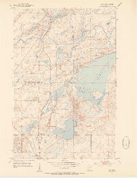
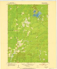
Editions of this 1953 Twig Map
6 editions found
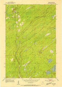
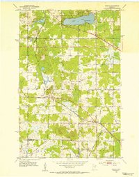
Other maps of this area

1895 · Duluth
USGS Topo · 1:62,500
1953 · Twig
USGS Topo · 1:24,000
1953 · Canyon
USGS Topo · 1:24,000
1953 · Shaw
USGS Topo · 1:24,000
1953 · Saginaw
USGS Topo · 1:24,000
1953 · Adolph
USGS Topo · 1:24,000
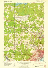
1953 · Duluth Heights
USGS Topo · 1:24,000
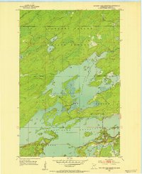
1953 · Boulder Lake Reservoir
USGS Topo · 1:24,000
1953 · Fredenberg
USGS Topo · 1:24,000
1953 · Independence
USGS Topo · 1:24,000
Featured Places
- Canosia Township, MN
- Fredenberg Township, MN
- Grand Lake Township, MN
- Twig Station, Grand Lake Township
- Twig, Grand Lake Township