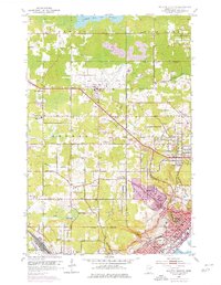
1953 Map of Duluth Heights
USGS Topo · Published 1976About this map
The Duluth International Airport serves as a sprawling hub in this mid-century survey, surrounded by the evolving landscape of St. Louis County. To the west, Hermantown maintains its rural-suburban character with various institutions like the Hermantown High Sch and several small burial grounds including Union Cem and Bethany Cem. The southeastern portion of the map transitions into the urban density of Duluth, where the neighborhood of Duluth Heights sits above the city core, and schools such as Lowell Sch and Ensign Sch anchor the local community.
Find a feature on this map
53 named features on this map. Tap any name to fly to it.
Don’t see what you’re looking for? This feature index may not catch every label — zoom into the map to look around manually.
Map Details
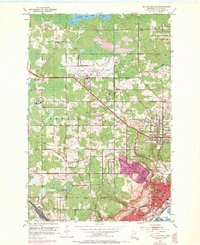
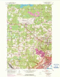
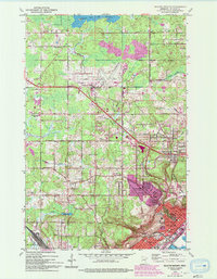
Editions of this 1953 Duluth Heights Map
5 editions found
Other maps of this area

1895 · Duluth
USGS Topo · 1:62,500

1915 · Superior
USGS Topo · 1:48,000

1917 · Superior
USGS Topo · 1:62,500

1953 · Twig
USGS Topo · 1:24,000

1953 · Adolph
USGS Topo · 1:24,000

1953 · Arnold
USGS Topo · 1:24,000

1953 · Duluth
USGS Topo · 1:24,000

1953 · Duluth Heights
USGS Topo · 1:24,000

1953 · Fredenberg
USGS Topo · 1:24,000

1953 · Duluth
USGS Topo · 1:62,500