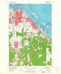
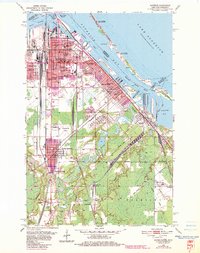
1954 Map of Superior
USGS Topo · Published 1965About this map
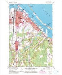
The industrial and maritime core of Superior and its surrounding communities are documented in this mid-century survey, revealing a landscape defined by its position at the western tip of Lake Superior. The intricate shoreline of Superior Bay and Allouez Bay is lined with heavy infrastructure, including an extensive Tank Farm, an Oil Refinery, and specialized transport hubs like the Sky Harbor Seaplane Base on Minnesota Point. The map demonstrates how the regional economy was tied to both water and rail, with numerous lines such as the Northern Pacific and the Great Northern converging on the docks.
Find a feature on this map
87 named features on this map. Tap any name to fly to it.
Don’t see what you’re looking for? This feature index may not catch every label — zoom into the map to look around manually.
Map Details
Editions of this 1954 Superior Map
6 editions found
Other maps of this area

1895 · Duluth
USGS Topo · 1:62,500

1915 · Superior
USGS Topo · 1:48,000

1917 · Superior
USGS Topo · 1:62,500

1949 · Poplar
USGS Topo · 1:48,000

1953 · Lakewood
USGS Topo · 1:24,000

1953 · Duluth
USGS Topo · 1:24,000

1953 · Duluth Heights
USGS Topo · 1:24,000

1953 · Duluth
USGS Topo · 1:62,500

1953 · Ashland
USGS Topo · 1:250,000

1953 · Duluth
USGS Topo · 1:250,000