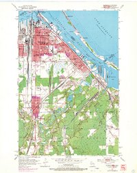
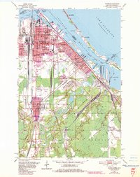
1954 Map of Superior
USGS Topo · Published 1970About this map
Superior sits at a critical junction of lake commerce and rail infrastructure during this mid-century period. The industrial landscape is defined by the massive Ore Docks lining the Superior Harbor Basin and the extensive tracks of the Burlington Northern and Chicago and North Western railroads. Urban development is densely concentrated in the East End and near Central Park, where numerous educational institutions like Wisconsin State College and the Vocational Sch serve the growing population.
Find a feature on this map
76 named features on this map. Tap any name to fly to it.
Don’t see what you’re looking for? This feature index may not catch every label — zoom into the map to look around manually.
Map Details
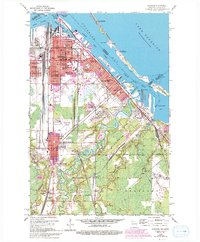
Editions of this 1954 Superior Map
6 editions found
Other maps of this area

1895 · Duluth
USGS Topo · 1:62,500

1915 · Superior
USGS Topo · 1:48,000

1917 · Superior
USGS Topo · 1:62,500

1949 · Poplar
USGS Topo · 1:48,000

1953 · Lakewood
USGS Topo · 1:24,000

1953 · Duluth
USGS Topo · 1:24,000

1953 · Duluth Heights
USGS Topo · 1:24,000

1953 · Duluth
USGS Topo · 1:62,500

1953 · Ashland
USGS Topo · 1:250,000

1953 · Duluth
USGS Topo · 1:250,000