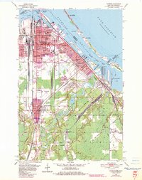
1954 Map of Superior
USGS Topo · Published 1983About this map
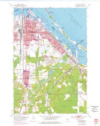
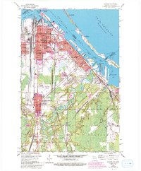
Superior is revealed here as a dense industrial and maritime hub at the western tip of Lake Superior. The map details a complex landscape of harbors and heavy industry, where the Nemadji River and Pokegama River meet the Superior Bay. Significant infrastructure for the regional economy is visible, including the massive Tank Farm, numerous Oil Tanks, and the Duluth Missabe and Iron Range Railroad lines servicing the waterfront Ore Docks.
Find a feature on this map
80 named features on this map. Tap any name to fly to it.
Don’t see what you’re looking for? This feature index may not catch every label — zoom into the map to look around manually.
Map Details
Editions of this 1954 Superior Map
6 editions found
Other maps of this area

1895 · Duluth
USGS Topo · 1:62,500

1915 · Superior
USGS Topo · 1:48,000

1917 · Superior
USGS Topo · 1:62,500

1949 · Poplar
USGS Topo · 1:48,000

1953 · Lakewood
USGS Topo · 1:24,000

1953 · Duluth
USGS Topo · 1:24,000

1953 · Duluth Heights
USGS Topo · 1:24,000

1953 · Duluth
USGS Topo · 1:62,500

1953 · Ashland
USGS Topo · 1:250,000

1953 · Duluth
USGS Topo · 1:250,000