
1955 Map of Webster
USGS Topo · Published 1957About this map
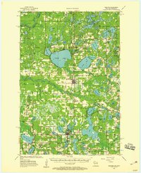
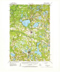
Yellow Lake and the winding Clam River define this mid-century landscape in Burnett County, where the Soo Line railroad connects the primary settlements of Webster and Siren. The map reveals a post-war rural infrastructure transitioning into a recreational lake district, evidenced by the numerous named water bodies like Little Yellow Lake and Lower Clam Lake alongside traditional agricultural landmarks. Social centers of the mid-1950s are well-documented through rural schoolhouses and small community churches, including Karlsborg Sch and Perida Ch. Interestingly, the survey identifies declining rural institutions by marking several locations, such as Kruger Sch and Jackson Sch, as abandoned. The northwestern corner reaches into the St Croix State Park at the Minnesota border, highlighting the interface between wild river country and the developing townships of Oakland and Lincoln.
Find a feature on this map
96 named features on this map. Tap any name to fly to it.
Don’t see what you’re looking for? This feature index may not catch every label — zoom into the map to look around manually.
Map Details
Editions of this 1955 Webster Map
3 editions found
Other maps of this area

1949 · Danbury
USGS Topo · 1:48,000

1949 · Hertel
USGS Topo · 1:48,000

1949 · Webb Lake
USGS Topo · 1:48,000

1950 · Webster
USGS Topo · 1:48,000

1950 · Grantsburg
USGS Topo · 1:48,000

1951 · Cumberland
USGS Topo · 1:48,000

1951 · Milltown
USGS Topo · 1:48,000

1951 · Frederic
USGS Topo · 1:48,000

1953 · Duluth
USGS Topo · 1:250,000

1953 · Stillwater
USGS Topo · 1:250,000