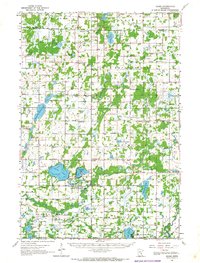
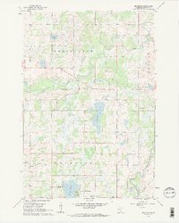
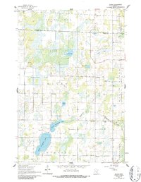
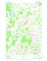
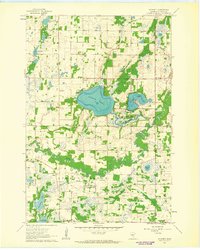
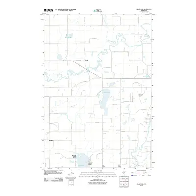
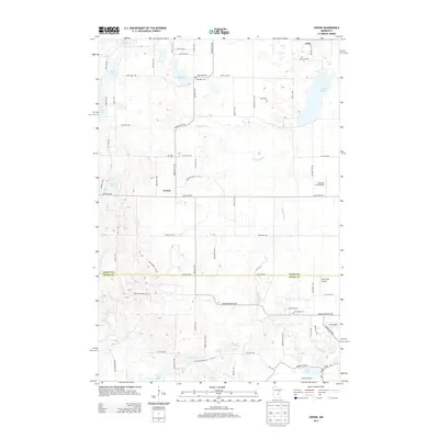
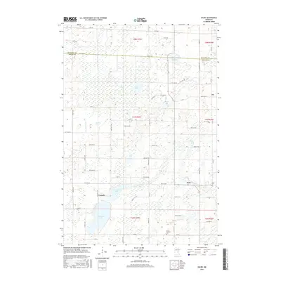
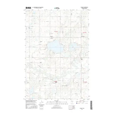
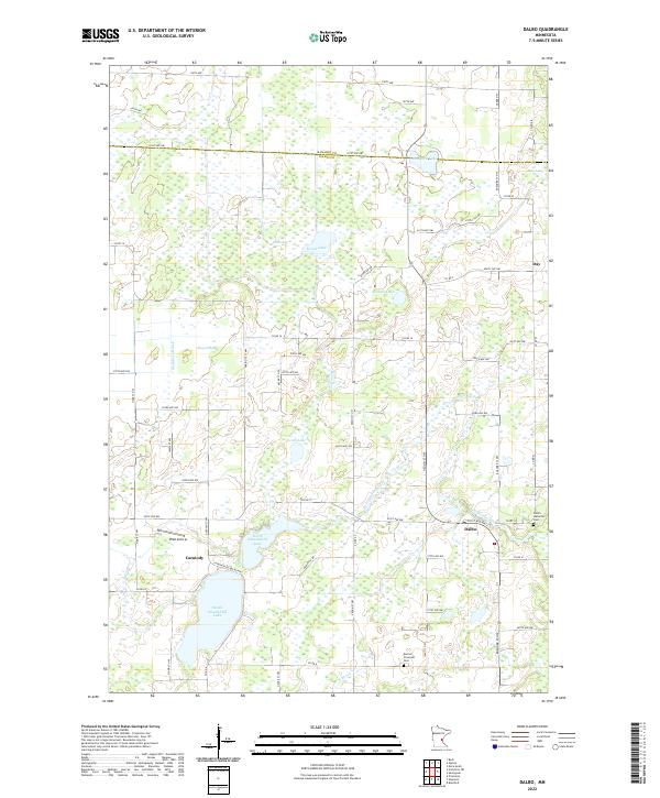
1961 Map of Dalbo
USGS Topo · Published 1965About this map
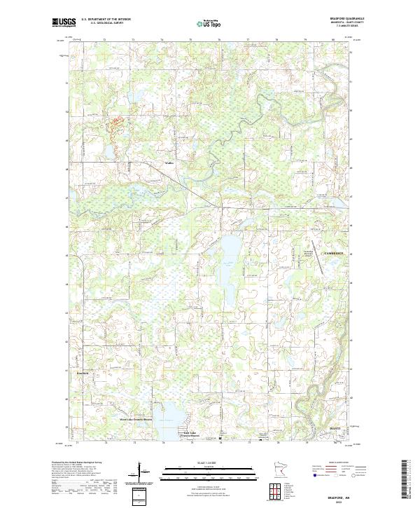
The Rum River meanders through this portion of central Minnesota, defining a landscape of glacial lakes and low-lying wetlands like Odegard Bog. In the early 1960s, the rural character of Isanti County remained deeply rooted in its township structure, with small community centers like Dalbo and Bradford serving as local hubs. The area is notable for its dense network of pioneer-era landmarks, including the Old Wyanett Free Cem and numerous country schoolhouses like Hiawatha Sch and Whittier Sch that once anchored these farming districts.
Find a feature on this map
92 named features on this map. Tap any name to fly to it.
Don’t see what you’re looking for? This feature index may not catch every label — zoom into the map to look around manually.
Map Details
Editions of this 1961 Dalbo Map
This is the sole edition of this map. No revisions or reprints were ever made.
Historical Maps of Cambridge Through Time
43 maps found
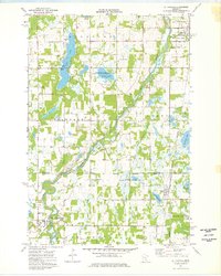
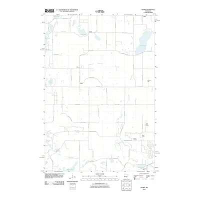
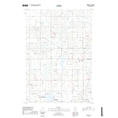
1961 Bradford
Isanti County, MN
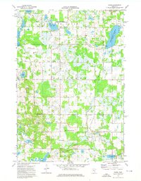
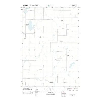
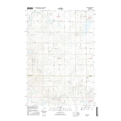
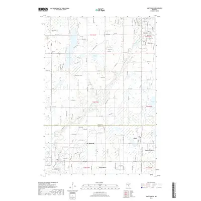
1961 Dalbo
Isanti County, MN
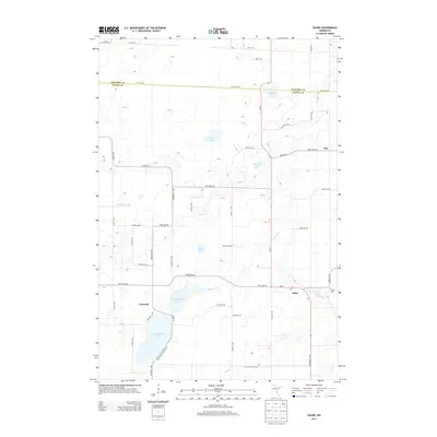
1961 Dalbo
Isanti County, MN
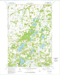
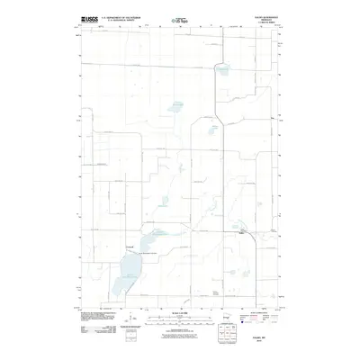
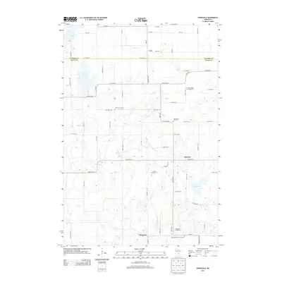
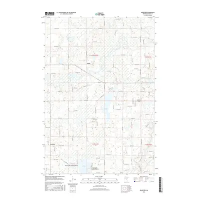
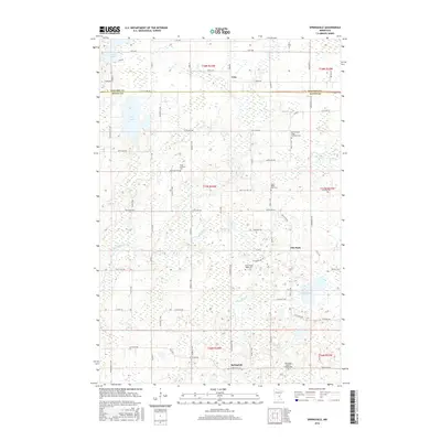
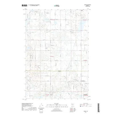
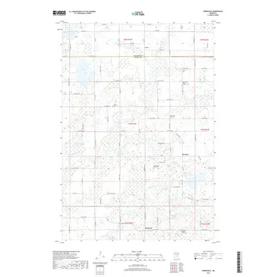
1961 Springvale
Isanti County, MN
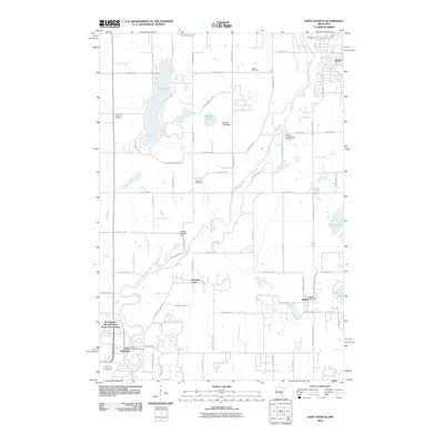
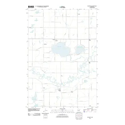
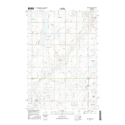
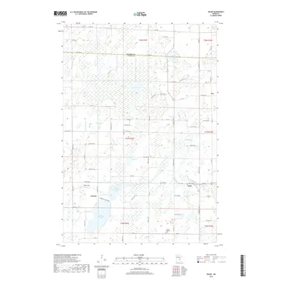
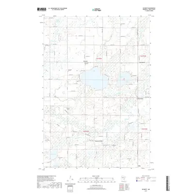
1961 Wyanett
Isanti County, MN
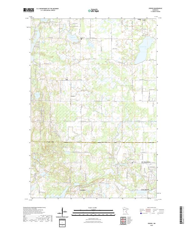
1974 Crown
Isanti County, MN
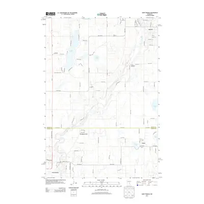
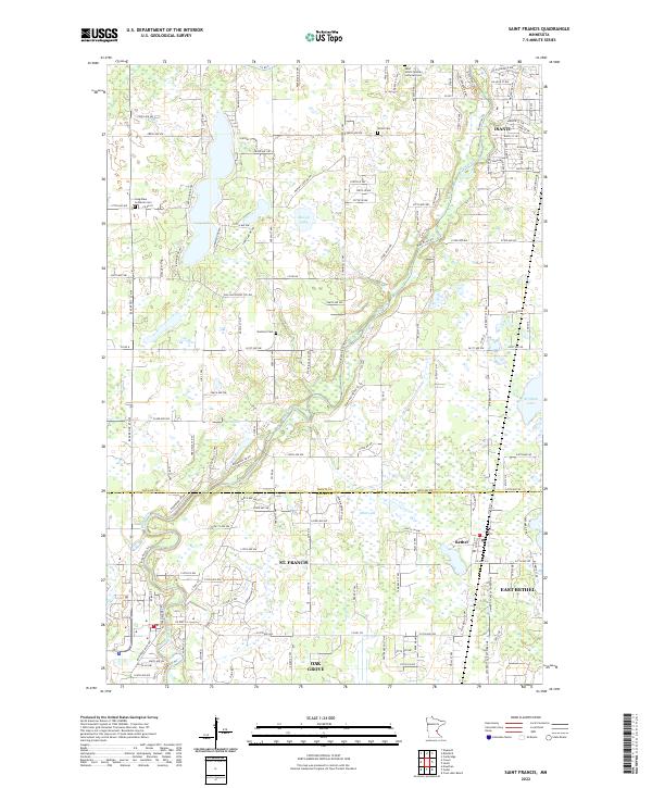
1974 St Francis
Isanti County, MN
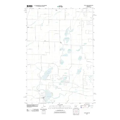
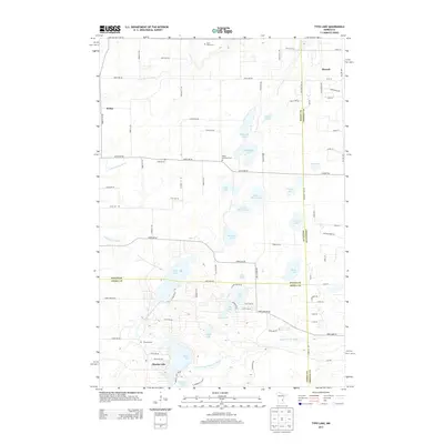
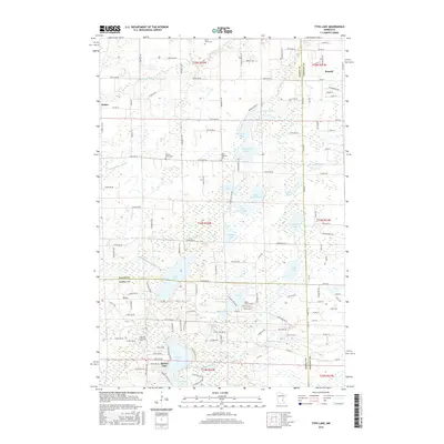
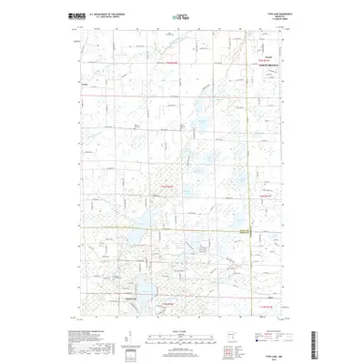
1974 Typo Lake
Isanti County, MN
2010 Bradford
Isanti County, MN
2010 Crown
Isanti County, MN
2010 Dalbo
Isanti County, MN
2010 Saint Francis
Isanti County, MN
2010 Springvale
Isanti County, MN
2010 Typo Lake
Isanti County, MN
2010 Wyanett
Isanti County, MN
2013 Bradford
Isanti County, MN
2013 Crown
Isanti County, MN
2013 Dalbo
Isanti County, MN
2013 Saint Francis
Isanti County, MN
2013 Springvale
Isanti County, MN
2013 Typo Lake
Isanti County, MN
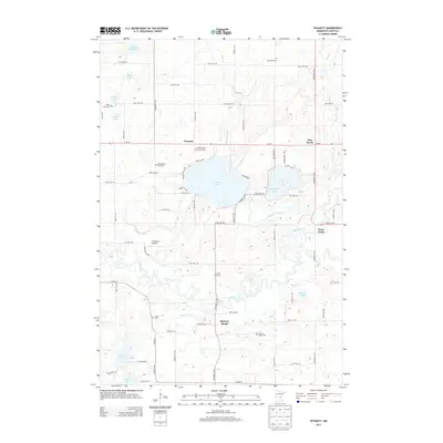
2013 Wyanett
Isanti County, MN
2016 Bradford
Isanti County, MN
2016 Crown
Isanti County, MN
2016 Dalbo
Isanti County, MN
2016 Saint Francis
Isanti County, MN
2016 Springvale
Isanti County, MN
2016 Typo Lake
Isanti County, MN
2016 Wyanett
Isanti County, MN
2019 Bradford
Isanti County, MN
2019 Crown
Isanti County, MN
2019 Dalbo
Isanti County, MN
2019 Saint Francis
Isanti County, MN
2019 Springvale
Isanti County, MN
2019 Typo Lake
Isanti County, MN
2019 Wyanett
Isanti County, MN
2022 Bradford
Isanti County, MN
2022 Crown
Isanti County, MN
2022 Dalbo
Isanti County, MN
2022 Saint Francis
Isanti County, MN
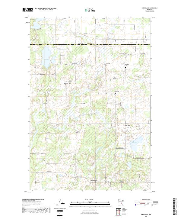
2022 Springvale
Isanti County, MN
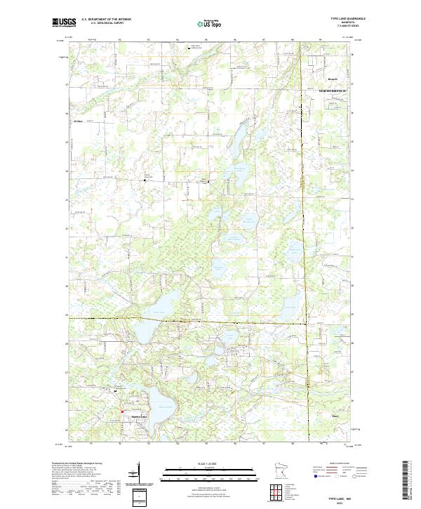
2022 Typo Lake
Isanti County, MN
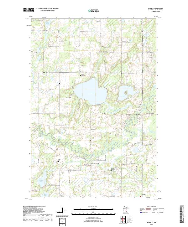
2022 Wyanett
Isanti County, MN
Featured Locations
- Cambridge, MN
- Isanti, MN
- Bradford, Bradford Township
- Spencer Brook, Spencer Brook Township
- Wyanett, Wyanett Township