2000s (21st Century) Maps of Kanabec Township, Minnesota
Explore 20 historic maps of Kanabec Township from the 2000s (21st Century). These maps offer a rare glimpse into what life looked like during the 2000s — showing old roads, neighborhoods, homes, and landmarks that have changed or disappeared over time.
Whether you're researching your family's past, planning a metal detecting trip, or studying how Kanabec Township's landscape evolved across the 2000s, these high-resolution maps are a powerful tool for exploring the history of this region.
- Focus on a specific era: All maps on this page are from the 2000s, giving you a focused view of this time period.
- See what’s changed: Compare century-old streets, trails, and buildings to today's modern landscape using overlays and satellite layers.
- Research with precision: Use these maps for genealogy, historical research, land use analysis, or educational projects.
- View, download, or print: Maps are fully viewable online in high resolution, and can be downloaded or printed for your own records.
Start exploring Kanabec Township's history through authentic maps from the 2000s. This is your window into the past.
Kanabec Township, MN maps
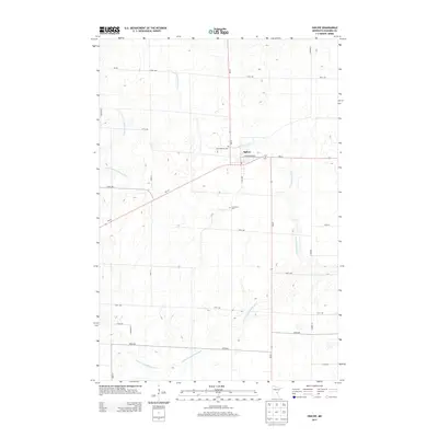
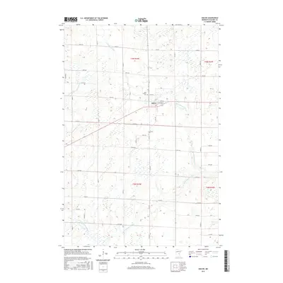
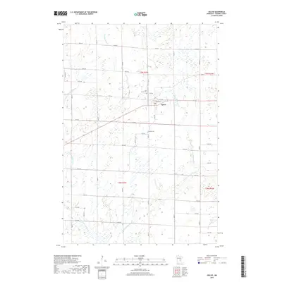
(20)- 2010 Map of Ogilvie, 2010 Print
 2010 Ogilvie2010 Print · USGSCovers Kanabec Township, including Ogilvie, South Fork Township, and other nearby areas
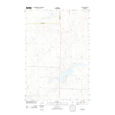
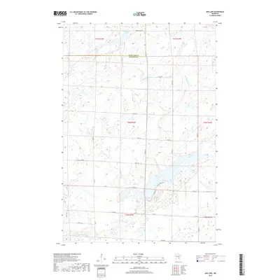
 - 2010 Map of Ann Lake, 2010 Print
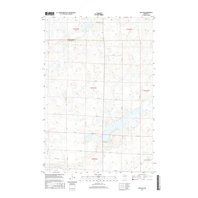
 2010 Ann Lake2010 Print · USGSCovers Kanabec Township, including Lewis Township, Hillman Township, and other nearby areas
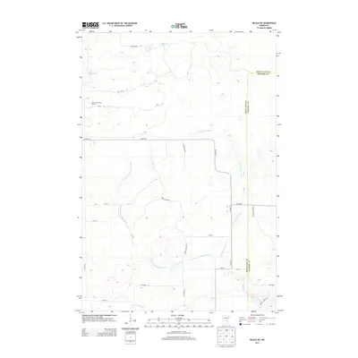
 - 2010 Map of Milaca NE, 2010 Print
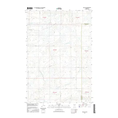
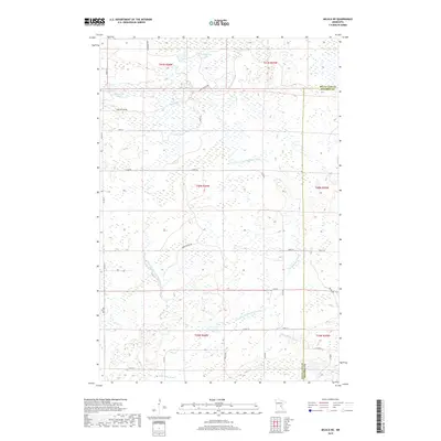
 2010 Milaca NE2010 Print · USGSCovers Kanabec Township, including Lewis Township, Ann Lake Township, and other nearby areas
 - 2010 Map of Bock, 2010 Print
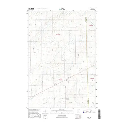
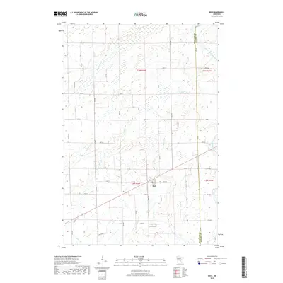
 2010 Bock2010 Print · USGSCovers Kanabec Township, including Bock, Hayland Township, and other nearby areas
 - 2013 Map of Bock, 2013 Print
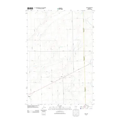 2013 Bock2013 Print · USGSCovers Kanabec Township, including Bock, Hayland Township, and other nearby areas
 - 2013 Map of Ogilvie, 2013 Print
 2013 Ogilvie2013 Print · USGSCovers Kanabec Township, including Ogilvie, South Fork Township, and other nearby areas
 - 2013 Map of Ann Lake, 2013 Print
 2013 Ann Lake2013 Print · USGSCovers Kanabec Township, including Lewis Township, Hillman Township, and other nearby areas
 - 2013 Map of Milaca NE, 2013 Print
 2013 Milaca NE2013 Print · USGSCovers Kanabec Township, including Lewis Township, Ann Lake Township, and other nearby areas
 - 2016 Map of Ann Lake, 2016 Print
 2016 Ann Lake2016 Print · USGSCovers Kanabec Township, including Lewis Township, Hillman Township, and other nearby areas
 - 2016 Map of Ogilvie, 2016 Print
 2016 Ogilvie2016 Print · USGSCovers Kanabec Township, including Ogilvie, South Fork Township, and other nearby areas
 - 2016 Map of Bock, 2016 Print
 2016 Bock2016 Print · USGSCovers Kanabec Township, including Bock, Hayland Township, and other nearby areas
 - 2016 Map of Milaca NE, 2016 Print
 2016 Milaca NE2016 Print · USGSCovers Kanabec Township, including Lewis Township, Ann Lake Township, and other nearby areas
 - 2019 Map of Ann Lake, 2019 Print
 2019 Ann Lake2019 Print · USGSCovers Kanabec Township, including Lewis Township, Hillman Township, and other nearby areas
 - 2019 Map of Milaca NE, 2019 Print
 2019 Milaca NE2019 Print · USGSCovers Kanabec Township, including Lewis Township, Ann Lake Township, and other nearby areas
 - 2019 Map of Bock, 2019 Print
 2019 Bock2019 Print · USGSCovers Kanabec Township, including Bock, Hayland Township, and other nearby areas
 - 2019 Map of Ogilvie, 2019 Print
 2019 Ogilvie2019 Print · USGSCovers Kanabec Township, including Ogilvie, South Fork Township, and other nearby areas
 - 2022 Map of Milaca NE, 2022 Print
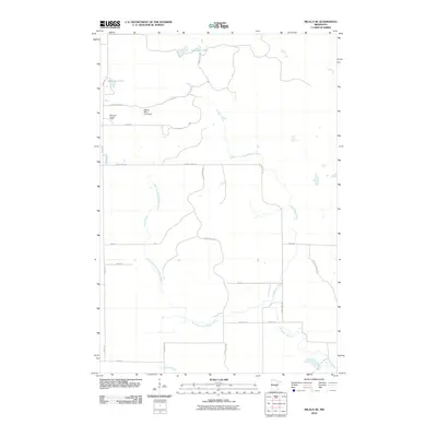
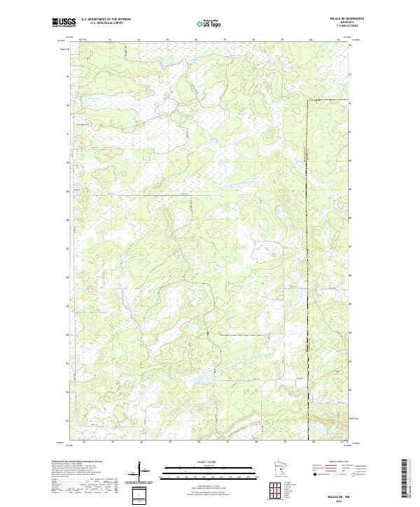 2022 Milaca NE2022 Print · USGSMille Lacs and Kanabec counties are shown here in the early twenty-first century, featuring a landscape of expansive wetlands and river forks. Researchers can trace the drainage of the Groundhouse River and find local landmarks like Mikkelson Pool and Cranberry Lake.
 - 2022 Map of Bock, 2022 Print
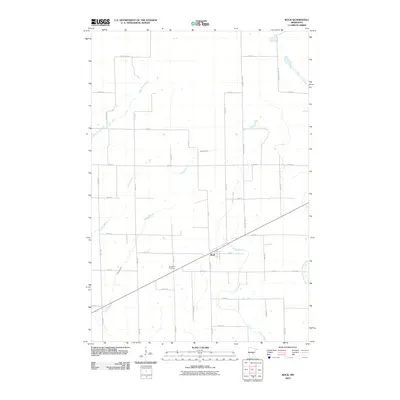
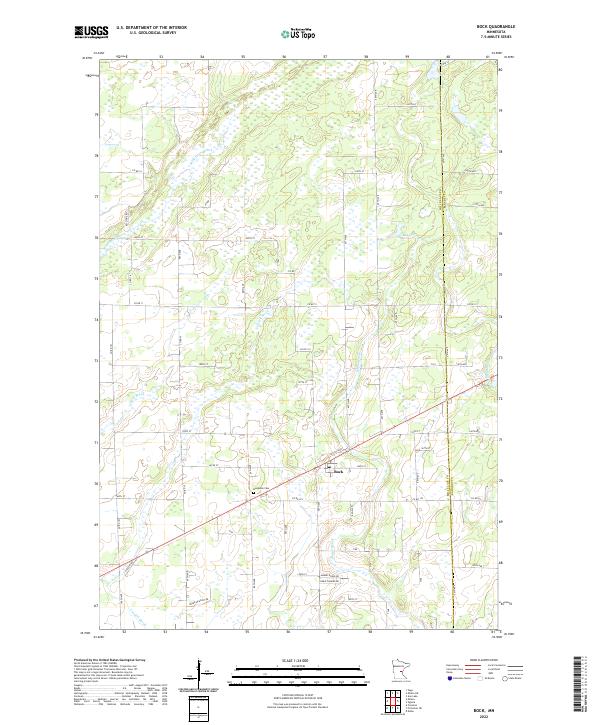 2022 Bock2022 Print · USGSBock and the surrounding wetlands of Mille Lacs County appear in clear detail during the early 2020s. Researchers can locate family sites near the Borgholm Cem or trace the winding paths of the Groundhouse River and Mike Drews Brook.
 - 2022 Map of Ogilvie, 2022 Print
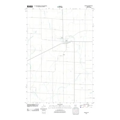
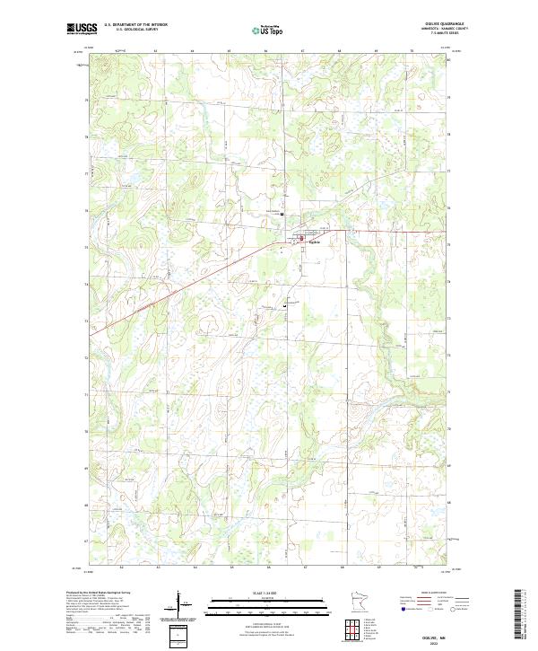 2022 Ogilvie2022 Print · USGSThe Kanabec County town of Ogilvie and its surrounding river valleys are captured in this recent survey. Researchers can trace property locations along Garden St or locate family sites at Saint Kathryn Cem and Graceland Cem.
 - 2022 Map of Ann Lake, 2022 Print
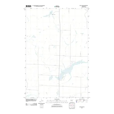
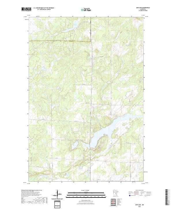 2022 Ann Lake2022 Print · USGSKanabec County's wetland-rich interior is documented here in the early 2020s, showing a landscape shaped by the Ann River system. Researchers can trace the water levels of Dewitt Pool or locate rural access points along Forest Shores Rd and Co Rd 6.
End of results
Showing maps 1-20 of 20
Top cities near Kanabec Township
- Mora historical maps
- Milaca historical maps
- Brunswick historical maps
- Onamia historical maps
- Dalbo historical maps
- Ogilvie historical maps
See more
Frequently asked questions
- What are the different types of historical maps available for Kanabec Township?
- What is the oldest map of Kanabec Township?
- Where can I purchase historical maps of Kanabec Township for my home or office?
- Where can I download high-res historical maps of Kanabec Township?
- Are there historical topographic maps available for Kanabec Township?
- Is there historical aerial imagery available for Kanabec Township?
- Where are historical maps of Kanabec Township sourced from?