Old Maps of Big Falls, Minnesota for Metal Detecting
Plan your next treasure hunt with 11 historic maps of Big Falls. Find old homesites, ghost towns, trails, and gathering spots that may be lost to time — perfect for identifying promising metal detecting locations.
- Locate forgotten sites: Uncover places like long-lost settlements, abandoned rail lines, or gathering spots.
- Plan better hunts: Use map overlays combined with LiDAR or satellite views to narrow in on historically rich areas.
- Made for detectorists: Thousands of hobbyists use these maps to discover relics, coins, and hidden history.
Use these historic maps to boost your research and find new opportunities beneath the surface of Big Falls.
Big Falls, MN maps
(11)- 1919 Map of Margie, 1943 Print
 1919 Margie1943 Print · USGSKoochiching County as the railroad era opened up the northern woods, showing a landscape of river bends and newly cut drainage ditches. Trace early timber and rail history through the settlements at Big Falls, Grand Falls, and the remote station at Margie.
 - 1954 Map of International Falls, 1980 Print
 1954 International Falls1980 Print · USGSThe Minnesota-Ontario borderlands come alive in this mid-century survey of the Rainy River region and the interconnected waterways that now form Voyageurs National Park. Genealogists and local historians can trace the rail-and-timber era through settlements like Littlefork, the Nett Lake Indian Reservation, and the Canadian National rail lines.
 - 1957 Map of International Falls
 1957 International Falls1957 Print · USGSThe Minnesota-Ontario borderlands come alive in the mid-fifties, showing the industrial nodes of International Falls and Fort Frances. Genealogists and historians can trace rail-tied settlements like Aylsworth and Littlefork or locate ancestral lands within the Nett Lake Indian Reservation.
 - 1958 Map of International Falls
 1958 International Falls1958 Print · USGSThe borderlands of northern Minnesota and Ontario are mapped here during the mid-fifties, centered on the river-and-rail hubs of the Northwoods. Researchers can trace the path of the Northern Pacific through Big Falls or locate early settlements like Ericsburg and Ranier.2 unique versions available
 - 1971 Map of Big Falls, 1973 Print
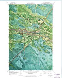 1971 Big Falls1973 Print · USGSNorthern Minnesota timber and transit hubs thrive in the early seventies where the Burlington Northern meets the Big Fork River. Trace local history at Evergreen Cem or follow the Old Railroad Grade through the Pine Island State Forest.
 - 1978 Map of Littlefork, 1994 Print
 1978 Littlefork1994 Print · USGSNorthern Minnesota’s timber and river country is captured here in the late seventies, showing the vast forest lands before modern development. Genealogists and historians can trace the Minnesota Dakota and Western RR through Littlefork and locate remote lookouts like Fort Lookout Tower.
 - 2010 Map of Big Falls, 2010 Print
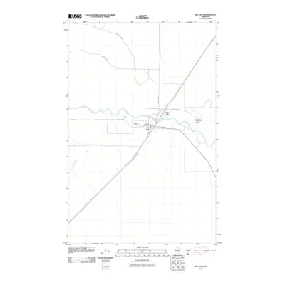 2010 Big Falls2010 Print · USGSThe riverfront communities of Big Falls and Grand Falls are documented here in the early twenty-first century as they sit along the winding Big Fork River. Researchers can trace the diagonal route of the Burlington Northern Railroad and locate local landmarks like Evergreen Cemetery and the Big Falls Post Office.
 - 2013 Map of Big Falls, 2013 Print
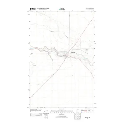 2013 Big Falls2013 Print · USGSBig Falls and the Big Fork River corridor are captured here during the early twenty-first century as central hubs for Koochiching County. Researchers can trace local landmarks like Evergreen Cem, the PO, and the Big Falls Municipal Airport.
 - 2016 Map of Big Falls, 2016 Print
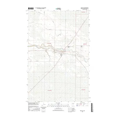 2016 Big Falls2016 Print · USGSKoochiching County's river-driven geography is on full display in this mid-2010s survey of the Big Fork River corridor. Genealogists and local historians can trace the town layouts of Big Falls and Grand Falls or locate the Evergreen Cem.
 - 2019 Map of Big Falls, 2019 Print
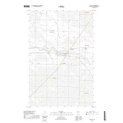 2019 Big Falls2019 Print · USGSKoochiching County's riverfront communities are captured here in the late 2010s as they flank the winding Big Fork River. Genealogists and local historians can locate Evergreen Cem and trace the original street layouts of Big Falls and Grand Falls.
 - 2022 Map of Big Falls, 2022 Print
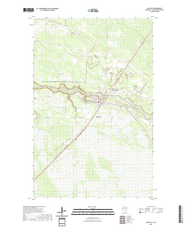 2022 Big Falls2022 Print · USGSBig Falls and the Big Fork River are captured in the early 2020s, showing a landscape of northern timber and wetlands. Genealogists and local historians can trace the town’s residential streets, locate Evergreen Cem, and follow the Blue Ox State Trail-MSR4 029 Trl corridor.
End of results
Showing maps 1-11 of 11
Frequently asked questions
- What are the different types of historical maps available for Big Falls?
- What is the oldest map of Big Falls?
- Where can I purchase historical maps of Big Falls for my home or office?
- Where can I download high-res historical maps of Big Falls?
- Are there historical topographic maps available for Big Falls?
- Is there historical aerial imagery available for Big Falls?
- Where are historical maps of Big Falls sourced from?