Old Maps of Border, Minnesota for Hiking & Exploration
Hike through history with 10 historic maps of Border. Explore old trails, ghost towns, and forgotten backroads — perfect for outdoor adventurers and local explorers.
- Rediscover forgotten places: Map out old mining camps, roads, and footpaths that no longer exist on modern maps.
- Layer with modern tools: Combine with LiDAR or satellite views to plan hikes through historical terrain.
- Made for exploration: Popular among hikers, overlanders, and local history lovers.
Use these maps to find adventure and explore the hidden past of Border.
Border, MN maps
(10)- 1954 Map of Roseau, 1969 Print
 1954 Roseau1969 Print · USGSNorthern Minnesota's borderlands come alive in the 1950s, showing a landscape defined by timber, water, and rail. Trace family roots through old schools and cemeteries near Roseau, Warroad, and the expansive Red Lake Indian Reservation.2 unique versions available
 - 1957 Map of Roseau
 1957 Roseau1957 Print · USGSThe international border and tribal lands define Northern Minnesota in the mid-fifties, from the shores of Lake of the Woods to the Red Lake Indian Reservation. Researchers can trace the path of the Great Northern railroad and locate isolated outposts like the U S Custom House and Ponemah.
 - 1958 Map of Roseau
 1958 Roseau1958 Print · USGSNorthern Minnesota's borderlands and vast lake country are captured here in the late fifties. Researchers can trace the Canadian National rail line through Warroad or find family history in frontier settlements like Baudette, Waskish, and Shotley.
 - 1968 Map of Border, 1970 Print
 1968 Border1970 Print · USGSThe international border along the Rainy River comes into focus during the late sixties, showing the isolated communities of northern Koochiching County. Researchers can trace local history at Riverdale Cem or follow the route of the Canadian National rail line past Border and Frontier.
 - 1976 Map of Baudette, 1993 Print
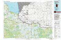 1976 Baudette1993 Print · USGSNorthern Minnesota’s borderlands are shown here in the mid-1970s, as the Rainy River winds toward the vast Lake of the Woods. Genealogists and local historians can trace the foundations of Baudette and Williams, or locate rural landmarks within the Pine Island State Forest.
 - 2010 Map of Border, 2010 Print
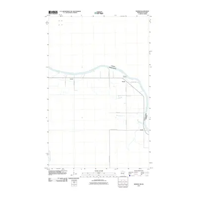 2010 Border2010 Print · USGSCovers Border, including Morley Township, Dawson Township, and other nearby areas
 - 2013 Map of Border, 2013 Print
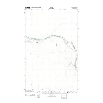 2013 Border2013 Print · USGSCovers Border, including Morley Township, Dawson Township, and other nearby areas
 - 2016 Map of Border, 2016 Print
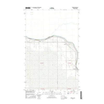 2016 Border2016 Print · USGSCovers Border, including Morley Township, Dawson Township, and other nearby areas
 - 2019 Map of Border, 2019 Print
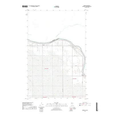 2019 Border2019 Print · USGSCovers Border, including Morley Township, Dawson Township, and other nearby areas
 - 2022 Map of Border, 2022 Print
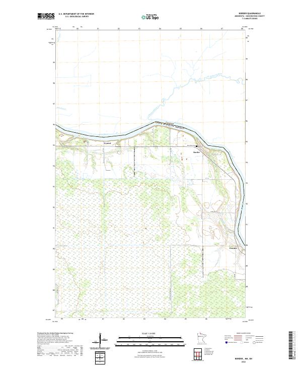 2022 Border2022 Print · USGSThe international boundary along the Rainy River defines this northern Minnesota landscape in the early twenty-first century. Genealogists and local historians can trace the riverside settlements of Border and Frontier or locate the Riverdale Cem near the Pinewood River.
End of results
Showing maps 1-10 of 10
Frequently asked questions
- What are the different types of historical maps available for Border?
- What is the oldest map of Border?
- Where can I purchase historical maps of Border for my home or office?
- Where can I download high-res historical maps of Border?
- Are there historical topographic maps available for Border?
- Is there historical aerial imagery available for Border?
- Where are historical maps of Border sourced from?