Old Maps of Gates Corner, Minnesota for Metal Detecting
Plan your next treasure hunt with 11 historic maps of Gates Corner. Find old homesites, ghost towns, trails, and gathering spots that may be lost to time — perfect for identifying promising metal detecting locations.
- Locate forgotten sites: Uncover places like long-lost settlements, abandoned rail lines, or gathering spots.
- Plan better hunts: Use map overlays combined with LiDAR or satellite views to narrow in on historically rich areas.
- Made for detectorists: Thousands of hobbyists use these maps to discover relics, coins, and hidden history.
Use these historic maps to boost your research and find new opportunities beneath the surface of Gates Corner.
Gates Corner, MN maps
(11)- 1919 Map of Lundgren
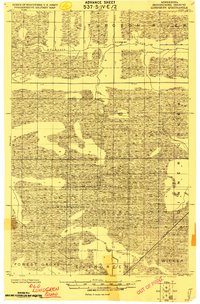 1919 Lundgren1919 Print · USGSNorthern Minnesota's wetland frontier is captured here at the end of the Great War, showing a landscape defined by drainage ditches and early rail lines. Researchers can trace the Minnesota and International railroad and find early settlements like Lundgren, Evergreen, and Wicker.2 unique versions available
 - 1954 Map of Roseau, 1969 Print
 1954 Roseau1969 Print · USGSNorthern Minnesota's borderlands come alive in the 1950s, showing a landscape defined by timber, water, and rail. Trace family roots through old schools and cemeteries near Roseau, Warroad, and the expansive Red Lake Indian Reservation.2 unique versions available
 - 1957 Map of Roseau
 1957 Roseau1957 Print · USGSThe international border and tribal lands define Northern Minnesota in the mid-fifties, from the shores of Lake of the Woods to the Red Lake Indian Reservation. Researchers can trace the path of the Great Northern railroad and locate isolated outposts like the U S Custom House and Ponemah.
 - 1958 Map of Roseau
 1958 Roseau1958 Print · USGSNorthern Minnesota's borderlands and vast lake country are captured here in the late fifties. Researchers can trace the Canadian National rail line through Warroad or find family history in frontier settlements like Baudette, Waskish, and Shotley.
 - 1973 Map of Ridge NE, 1976 Print
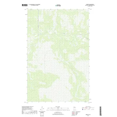
 1973 Ridge NE1976 Print · USGSKoochiching County’s deep timber and wetlands are revealed in the early 1970s through this detailed orthophotomap. Researchers can trace the seasonal Winter Trail network and locate Gates Camp along the winding Sturgeon River.
 - 1977 Map of Upper Red Lake, 1978 Print
 1977 Upper Red Lake1978 Print · USGSNorthern Minnesota's massive basin and surrounding timberlands are documented here in the late seventies. Family historians and researchers can locate remote outposts like Ponemah, Waskish, and Wayland, or trace the network of fire lookouts including Pine Island Lookout Tower.
 - 2010 Map of Ridge NE, 2010 Print
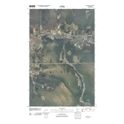 2010 Ridge NE2010 Print · USGSCovers Gates Corner, including Koochiching County, United States, and other nearby areas
 - 2013 Map of Ridge NE, 2013 Print
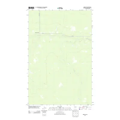 2013 Ridge NE2013 Print · USGSCovers Gates Corner, including Koochiching County, United States, and other nearby areas
 - 2016 Map of Ridge NE, 2016 Print
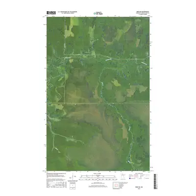 2016 Ridge NE2016 Print · USGSCovers Gates Corner, including Koochiching County, United States, and other nearby areas
 - 2019 Map of Ridge NE, 2019 Print
 2019 Ridge NE2019 Print · USGSCovers Gates Corner, including Koochiching County, United States, and other nearby areas
 - 2022 Map of Ridge NE, 2022 Print
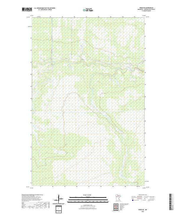 2022 Ridge NE2022 Print · USGSKoochiching County at the turn of the 2020s remains a landscape of intricate waterways and deep forest tracts. Researchers can trace the winding course of the Sturgeon River and identify local travel routes like Pine Island Rd and Co Rd 30.
End of results
Showing maps 1-11 of 11
Frequently asked questions
- What are the different types of historical maps available for Gates Corner?
- What is the oldest map of Gates Corner?
- Where can I purchase historical maps of Gates Corner for my home or office?
- Where can I download high-res historical maps of Gates Corner?
- Are there historical topographic maps available for Gates Corner?
- Is there historical aerial imagery available for Gates Corner?
- Where are historical maps of Gates Corner sourced from?