Old Maps of Murphy City, Stony River Township for Academic Research
Study the evolution of Murphy City with 12 high-resolution historic maps. Whether you're teaching, researching, or modeling changes in land use, these maps provide essential visual documentation of urban, environmental, and geographic change.
- Analyze long-term change: Track patterns in development, transportation, and natural features.
- Ideal for environmental or urban studies: Support academic projects with primary historical map data.
- Use in the classroom or lab: Educators and researchers rely on these maps to bring historical context to life.
These maps are a powerful tool for teaching, research, and visualizing how Murphy City has changed over the decades.
Murphy City, Stony River Township maps
(12)- 1954 Map of Two Harbors, 1964 Print
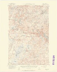
 1954 Two Harbors1964 Print · USGSThe Minnesota North Shore and Superior National Forest are shown here in the mid-fifties, just as the taconite industry was reshaping the coast. Genealogists and historians can trace the rail lines of the Duluth Missabe and Iron Range or locate remote outposts like Sawbill Landing and Section Thirty.2 unique versions available
 - 1955 Map of Isabella, 1957 Print
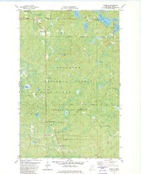
 1955 Isabella1957 Print · USGSThe Lake County timberlands of the mid-1950s are captured here as a network of rail lines and forest landings. Researchers can trace the legacy of logging and settlement at the Isabella Sch (Abandoned), Manitou Junction, and Murphy City.4 unique versions available
 - 1957 Map of Two Harbors
 1957 Two Harbors1957 Print · USGSMinnesota's North Shore and the Arrowhead region are shown here in the mid-fifties as the taconite industry and cold war defense shaped the landscape. Researchers can trace the Duluth Missabe and Iron Range railroad, locate the Split Rock Light, and explore the iron-mining era at Taconite.
 - 1958 Map of Two Harbors
 1958 Two Harbors1958 Print · USGSThe North Shore and Arrowhead region of Minnesota are captured in the 1950s as iron ore shipping and wilderness preservation shaped the land. Researchers can trace the Duluth Missabe and Iron Range RR, find maritime landmarks like Split Rock Light, and locate remote settlements from Babbitt to Grand Marais.
 - 1964 Map of Two Harbors
 1964 Two Harbors1964 Print · USGSThe North Shore of Lake Superior is captured here during the mid-1950s, a time of significant industrial mining growth and emerging tourism. Genealogists and historians can trace the rail lines of the Duluth Missabe and Iron Range and locate landmarks like Split Rock Light and the U S Air Force Radar Station.
 - 1981 Map of Isabella, 1982 Print
 1981 Isabella1982 Print · USGSLake County was a center for timber and mineral transport in the early eighties, shown here through an intricate network of forest grades and waterways. Researchers can trace the Old Railroad Grade, locate the Isabella Memorial Cem, and explore the roads around Isabella and Murphy City.2 unique versions available
 - 1994 Map of Ely
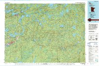 1994 Ely1994 Print · USGSEly and the surrounding Iron Range country are shown here in the mid-1990s, where mining operations meet the edge of the great northern wilderness. Researchers can trace the development of Babbitt, locate the Mine sites, or explore the vast lake networks of the Boundary Waters Canoe Area Wilderness.
 - 2011 Map of Isabella, 2011 Print
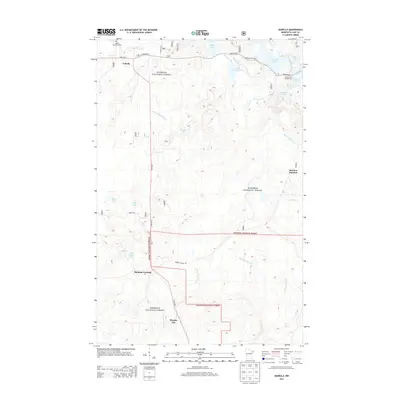
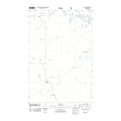 2011 Isabella2011 Print · USGSCovers Murphy City, including Isabella, Crystal Bay Township, and other nearby areas
 - 2013 Map of Isabella, 2013 Print
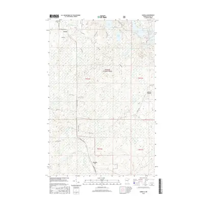
 2013 Isabella2013 Print · USGSCovers Murphy City, including Isabella, Crystal Bay Township, and other nearby areas
 - 2016 Map of Isabella, 2016 Print
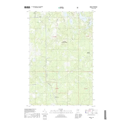
 2016 Isabella2016 Print · USGSCovers Murphy City, including Isabella, Crystal Bay Township, and other nearby areas
 - 2019 Map of Isabella, 2019 Print
 2019 Isabella2019 Print · USGSCovers Murphy City, including Isabella, Crystal Bay Township, and other nearby areas
 - 2022 Map of Isabella, 2022 Print
 2022 Isabella2022 Print · USGSLake County's timber and water networks are documented here in the early twenty-first century. Genealogists and local historians can trace the foundations of Isabella and Murphy City, or locate family sites near Isabella Memorial Cem and Manitou Junction.
End of results
Showing maps 1-12 of 12
Top cities near Murphy City
Frequently asked questions
- What are the different types of historical maps available for Murphy City?
- What is the oldest map of Murphy City?
- Where can I purchase historical maps of Murphy City for my home or office?
- Where can I download high-res historical maps of Murphy City?
- Are there historical topographic maps available for Murphy City?
- Is there historical aerial imagery available for Murphy City?
- Where are historical maps of Murphy City sourced from?