Old Maps of Derrynane Township, Minnesota for Academic Research
Study the evolution of Derrynane Township with 30 high-resolution historic maps. Whether you're teaching, researching, or modeling changes in land use, these maps provide essential visual documentation of urban, environmental, and geographic change.
- Analyze long-term change: Track patterns in development, transportation, and natural features.
- Ideal for environmental or urban studies: Support academic projects with primary historical map data.
- Use in the classroom or lab: Educators and researchers rely on these maps to bring historical context to life.
These maps are a powerful tool for teaching, research, and visualizing how Derrynane Township has changed over the decades.
Derrynane Township, MN maps
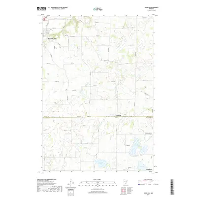
(30)- 1953 Map of Saint Paul, 1964 Print
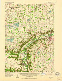
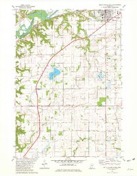
 1953 Saint Paul1964 Print · USGSThe Twin Cities and the Mississippi River valley are captured here at a mid-century turning point. Trace the early growth of Minneapolis and Saint Paul alongside landmarks like Lake Minnetonka and the St Croix River.4 unique versions available
 - 1957 Map of Belle Plaine, 1958 Print
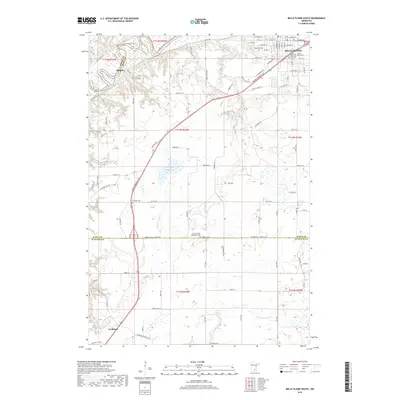
 1957 Belle Plaine1958 Print · USGSThe Minnesota River valley serves as a bustling corridor for four counties during the late fifties, defined by its intersecting rail lines and riverside towns. Genealogists can locate family landmarks like West Union Ch, Zion Cem, and the Jessenland Fish Hatchery.2 unique versions available
 - 1957 Map of New Prague, 1959 Print
 1957 New Prague1959 Print · USGSScott and Le Sueur Counties in the late fifties reveal a landscape of deep-rooted parish settlements and thriving river-valley agriculture. Genealogists can trace family footprints through rural sites like East Union, St Benedict, and the St Josephs Sch Cem.2 unique versions available
 - 1959 Map of Saint Paul
 1959 Saint Paul1959 Print · USGSThe Twin Cities and southeastern Minnesota appear here in the late fifties, showing the peak of the rail era and post-war suburban growth. Genealogists can trace family footprints near Lake Minnetonka, the Univ Of Minn Rosemount Research Center, or the growing neighborhoods of Richfield.2 unique versions available
 - 1965 Map of St Thomas, 1966 Print
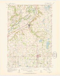
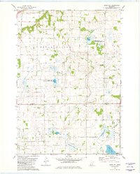
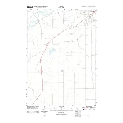
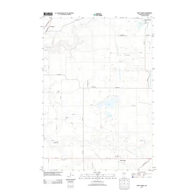
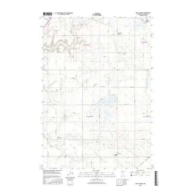
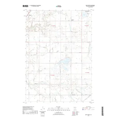
 1965 St Thomas1966 Print · USGSLe Sueur County in the mid-1960s reveals a deeply settled agricultural landscape shaped by its early townships and prairie lakes. Genealogists and local historians can locate numerous family burial sites like Dresselville Cem and Hillside Cem, or trace the old rail corridor of the Chicago Milwaukee St Paul and Pacific.2 unique versions available
 - 1966 Map of Le Center, 1968 Print
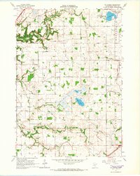
 1966 Le Center1968 Print · USGSThe township boundaries of southern Minnesota meet here during the mid-sixties, centered on the hub of Le Center. Genealogists and local historians can trace the sites of Yankee Cem, St John Ch, and the winding Milwaukee Road railroad line.2 unique versions available
 - 1981 Map of Belle Plaine South, 1982 Print
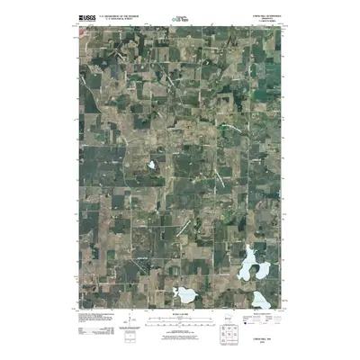
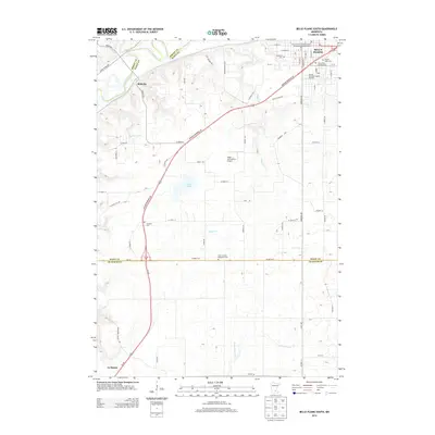
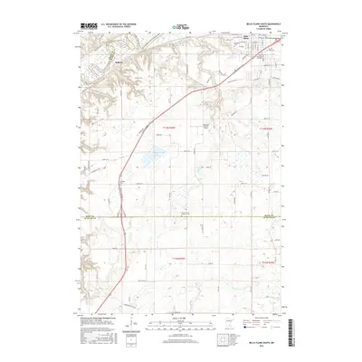
 1981 Belle Plaine South1982 Print · USGSThe Minnesota River valley and the town of Belle Plaine are captured here in the early eighties. Genealogists and local historians can trace rural cemeteries like Schlegel Cem and explore the rail corridor through Blakeley and Belle Plaine.
 - 1981 Map of Union Hill, 1982 Print
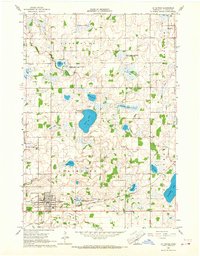
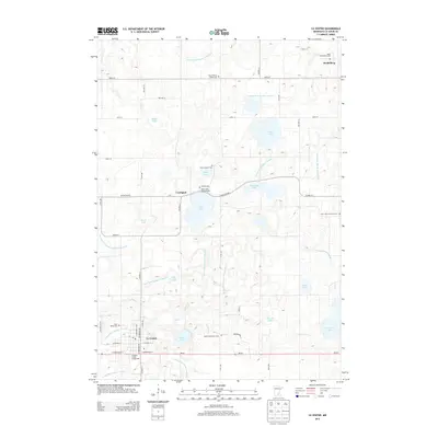
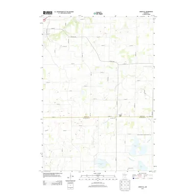
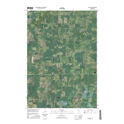
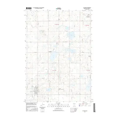
 1981 Union Hill1982 Print · USGSScott and Le Sueur counties are shown in the early eighties as a landscape of managed prairie and farmland. Genealogists can locate family landmarks like St Johns Cem and Frieden Ch Cem or trace the waters of Raven Stream and Tietz Lake.
 - 1985 Map of Saint Paul
 1985 Saint Paul1985 Print · USGSThe Twin Cities metropolitan area and its southern suburbs are captured here in the mid-eighties as the urban landscape expanded toward the Minnesota River. Researchers can trace the layout of the Fort Snelling Military Reservation, find local landmarks like St Benedict Church, and study the rail routes of the Soo Line.2 unique versions available
 - 1985 Map of Faribault, 1986 Print
 1985 Faribault1986 Print · USGSThe Minnesota River valley and the glacial lake country of Rice and Le Sueur counties are shown here in the mid-1980s. Researchers can trace the academic grounds of St Olaf College or find old crossroads like Trondhjem and Little Chicago.2 unique versions available
 - 2010 Map of Le Center, 2010 Print
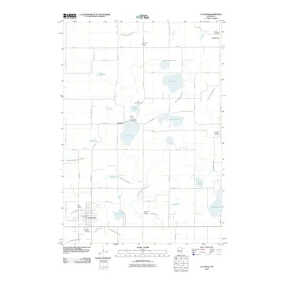 2010 Le Center2010 Print · USGSCovers Derrynane Township, including Le Center, Lexington, and other nearby areas
 - 2010 Map of Saint Thomas, 2010 Print
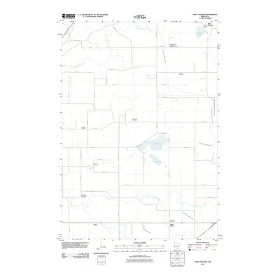 2010 Saint Thomas2010 Print · USGSCovers Derrynane Township, including Le Sueur, Saint Henry, and other nearby areas
 - 2010 Map of Union Hill, 2010 Print
 2010 Union Hill2010 Print · USGSCovers Derrynane Township, including Belle Plaine, Heidelberg, and other nearby areas
 - 2010 Map of Belle Plaine South, 2010 Print
 2010 Belle Plaine South2010 Print · USGSCovers Derrynane Township, including Belle Plaine, Le Sueur, and other nearby areas
 - 2013 Map of Le Center, 2013 Print
 2013 Le Center2013 Print · USGSCovers Derrynane Township, including Le Center, Lexington, and other nearby areas
 - 2013 Map of Saint Thomas, 2013 Print
 2013 Saint Thomas2013 Print · USGSCovers Derrynane Township, including Le Sueur, Saint Henry, and other nearby areas
 - 2013 Map of Union Hill, 2013 Print
 2013 Union Hill2013 Print · USGSCovers Derrynane Township, including Belle Plaine, Heidelberg, and other nearby areas
 - 2013 Map of Belle Plaine South, 2013 Print
 2013 Belle Plaine South2013 Print · USGSCovers Derrynane Township, including Belle Plaine, Le Sueur, and other nearby areas
 - 2016 Map of Belle Plaine South, 2016 Print
 2016 Belle Plaine South2016 Print · USGSCovers Derrynane Township, including Belle Plaine, Le Sueur, and other nearby areas
 - 2016 Map of Union Hill, 2016 Print
 2016 Union Hill2016 Print · USGSCovers Derrynane Township, including Belle Plaine, Heidelberg, and other nearby areas
 - 2016 Map of Saint Thomas, 2016 Print
 2016 Saint Thomas2016 Print · USGSCovers Derrynane Township, including Le Sueur, Saint Henry, and other nearby areas
 - 2016 Map of Le Center, 2016 Print
 2016 Le Center2016 Print · USGSCovers Derrynane Township, including Le Center, Lexington, and other nearby areas
 - 2019 Map of Belle Plaine South, 2019 Print
 2019 Belle Plaine South2019 Print · USGSCovers Derrynane Township, including Belle Plaine, Le Sueur, and other nearby areas
 - 2019 Map of Saint Thomas, 2019 Print
 2019 Saint Thomas2019 Print · USGSCovers Derrynane Township, including Le Sueur, Saint Henry, and other nearby areas
 - 2019 Map of Union Hill, 2019 Print
 2019 Union Hill2019 Print · USGSCovers Derrynane Township, including Belle Plaine, Heidelberg, and other nearby areas
Showing maps 1-25 of 30
Top cities near Derrynane Township
- Shakopee historical maps
- Prior Lake historical maps
- New Prague historical maps
- Jordan historical maps
- Belle Plaine historical maps
- Le Sueur historical maps
See more
Top neighborhoods of Derrynane Township
Frequently asked questions
- What are the different types of historical maps available for Derrynane Township?
- What is the oldest map of Derrynane Township?
- Where can I purchase historical maps of Derrynane Township for my home or office?
- Where can I download high-res historical maps of Derrynane Township?
- Are there historical topographic maps available for Derrynane Township?
- Is there historical aerial imagery available for Derrynane Township?
- Where are historical maps of Derrynane Township sourced from?