Old Maps of Lyon County, Minnesota
Explore 35 old maps of Lyon County, spanning from 1953 to today. These high-resolution historic maps reveal how streets, neighborhoods, landmarks, and natural features evolved over time — perfect for genealogy, metal detecting, research, and local history exploration.
What you can do with these maps:
- See how Lyon County changed over time: Compare historical maps to modern-day views to trace roads, homesites, rail lines & more.
- View detailed metadata: Each map includes creators, publishers, year, scale, and archive source.
- Overlay maps with satellite & LiDAR: Visualize the past alongside modern tools to explore terrain & human change.
- Trusted historical sources: Maps sourced from the USGS, Library of Congress, and other archives.
- Access maps your way: View online, download high-res files, or order prints for personal or research use.
Start exploring old maps of Lyon County to uncover forgotten places, hidden landmarks, and the deep history beneath your feet.
Lyon County, MN maps
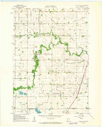
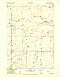
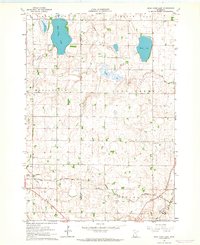
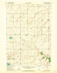
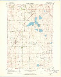
(35)- 1953 Map of Watertown, 1968 Print
 1953 Watertown1968 Print · USGSCovers Lyon County, including Watertown, Brookings, and other nearby areas3 unique versions available
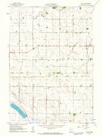
 - 1953 Map of New Ulm, 1968 Print
 1953 New Ulm1968 Print · USGSCovers Lyon County, including Mankato, North Mankato, and other nearby areas3 unique versions available
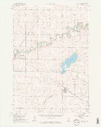
 - 1957 Map of New Ulm
 1957 New Ulm1957 Print · USGSCovers Lyon County, including Mankato, North Mankato, and other nearby areas
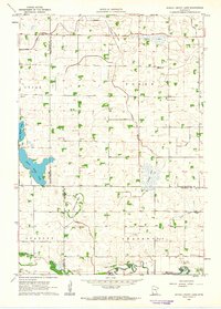
 - 1958 Map of New Ulm
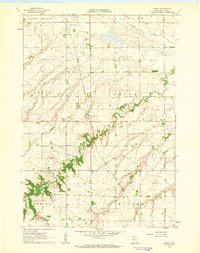
 1958 New Ulm1958 Print · USGSCovers Lyon County, including Mankato, North Mankato, and other nearby areas
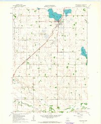
 - 1958 Map of Watertown
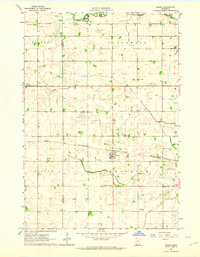
 1958 Watertown1958 Print · USGSCovers Lyon County, including Watertown, Brookings, and other nearby areas2 unique versions available
 - 1962 Map of Wood Lake NW, 1963 Print
 1962 Wood Lake NW1963 Print · USGSCovers Lyon County, including Hazel Run, Yellow Medicine County, and other nearby areas
 - 1962 Map of Dudley, 1963 Print
 1962 Dudley1963 Print · USGSCovers Lyon County, including Marshall, Dudley, and other nearby areas2 unique versions available
 - 1962 Map of Cottonwood, 1964 Print
 1962 Cottonwood1964 Print · USGSCovers Lyon County, including Cottonwood, Lindsay Mobile Home Court, and other nearby areas
 - 1962 Map of School Grove Lake, 1964 Print
 1962 School Grove Lake1964 Print · USGSCovers Lyon County, including Redwood County, Yellow Medicine County, and other nearby areas
 - 1962 Map of Milroy SE, 1964 Print
 1962 Milroy SE1964 Print · USGSCovers Lyon County, including Tracy, Redwood County, and other nearby areas
 - 1962 Map of Wood Lake, 1964 Print
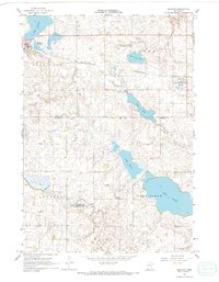
 1962 Wood Lake1964 Print · USGSCovers Lyon County, including Wood Lake, Hanley Falls, and other nearby areas2 unique versions available
 - 1962 Map of Amiret, 1964 Print
 1962 Amiret1964 Print · USGSCovers Lyon County, including Amiret, United States, and other nearby areas
 - 1962 Map of Milroy, 1964 Print
 1962 Milroy1964 Print · USGSCovers Lyon County, including Milroy, Redwood County, and other nearby areas
 - 1963 Map of Dead Coon Lake, 1964 Print
 1963 Dead Coon Lake1964 Print · USGSCovers Lyon County, including Tyler, Lincoln County, and other nearby areas
 - 1963 Map of Gislason Lake, 1964 Print
 1963 Gislason Lake1964 Print · USGSCovers Lyon County, including Lincoln County, United States, and other nearby areas2 unique versions available
 - 1963 Map of Russell, 1964 Print
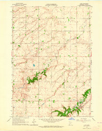
 1963 Russell1964 Print · USGSCovers Lyon County, including Russell, Burchard, and other nearby areas
 - 1963 Map of Lynd, 1964 Print
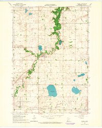
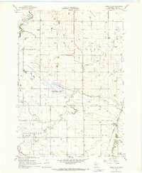
 1963 Lynd1964 Print · USGSCovers Lyon County, including Lynd, Lynd Mobile Home Park, and other nearby areas
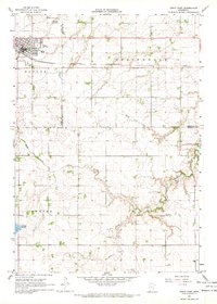
 - 1963 Map of Marshall SE, 1964 Print
 1963 Marshall SE1964 Print · USGSCovers Lyon County, including United States, Minnesota, and other nearby areas2 unique versions available
 - 1963 Map of Marshall, 1964 Print
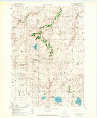
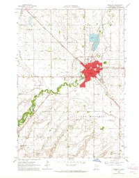 1963 Marshall1964 Print · USGSCovers Lyon County, including Marshall, Lynd, and other nearby areas3 unique versions available
 - 1967 Map of New Ulm
 1967 New Ulm1967 Print · USGSCovers Lyon County, including Mankato, North Mankato, and other nearby areas
 - 1967 Map of Minneota, 1968 Print
 1967 Minneota1968 Print · USGSCovers Lyon County, including Minneota, Ghent, and other nearby areas
 - 1967 Map of Balaton, 1968 Print
 1967 Balaton1968 Print · USGSCovers Lyon County, including Balaton, Garvin, and other nearby areas2 unique versions available
 - 1967 Map of Green Valley, 1968 Print
 1967 Green Valley1968 Print · USGSCovers Lyon County, including Green Valley, United States, and other nearby areas
 - 1967 Map of Ruthton, 1968 Print
 1967 Ruthton1968 Print · USGSCovers Lyon County, including Ruthton, Florence, and other nearby areas
 - 1967 Map of Tracy East, 1968 Print
 1967 Tracy East1968 Print · USGSCovers Lyon County, including Tracy, Cedar Lane Trailer Park, and other nearby areas
Showing maps 1-25 of 35
Top cities of Lyon County
- Marshall historical maps
- Tracy historical maps
- Minneota historical maps
- Cottonwood historical maps
- Balaton historical maps
- Lynd historical maps
See more
Frequently asked questions
- What are the different types of historical maps available for Lyon County?
- What is the oldest map of Lyon County?
- Where can I purchase historical maps of Lyon County for my home or office?
- Where can I download high-res historical maps of Lyon County?
- Are there historical topographic maps available for Lyon County?
- Is there historical aerial imagery available for Lyon County?
- Where are historical maps of Lyon County sourced from?