Old Maps of Ceylon, Minnesota for Academic Research
Study the evolution of Ceylon with 15 high-resolution historic maps. Whether you're teaching, researching, or modeling changes in land use, these maps provide essential visual documentation of urban, environmental, and geographic change.
- Analyze long-term change: Track patterns in development, transportation, and natural features.
- Ideal for environmental or urban studies: Support academic projects with primary historical map data.
- Use in the classroom or lab: Educators and researchers rely on these maps to bring historical context to life.
These maps are a powerful tool for teaching, research, and visualizing how Ceylon has changed over the decades.
Ceylon, MN maps
(15)- 1954 Map of Fairmont, 1967 Print
 1954 Fairmont1967 Print · USGSThe prairie landscape of southern Minnesota and northern Iowa comes alive in this mid-century survey of the Coteau des Prairies. Genealogists and historians can trace the rail-connected growth of Fairmont and Blue Earth or locate family roots near St Kilian Ch and Union Slough National Wildlife Refuge.3 unique versions available
 - 1958 Map of Fairmont
 1958 Fairmont1958 Print · USGSThe borderlands of southern Minnesota and northern Iowa come alive in the mid-1950s, showing a landscape defined by glacial lakes and rail-line commerce. Researchers can trace historic landmarks like Lakeside Laboratory, Gridley Station, and the Bancroft Wildlife Refuge across the prairie.
 - 1970 Map of Ceylon, 1972 Print
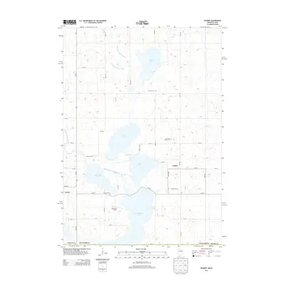
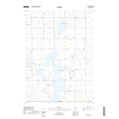
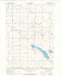 1970 Ceylon1972 Print · USGSSouthern Minnesota and the Iowa borderlands are captured here in the early 1970s, showing a prairie landscape shaped by drainage and rail. Researchers can trace family sites at Lone Cedar Cem or follow the path of the Chicago and North Western railroad through Ceylon.
 - 1970 Map of Wilbert, 1972 Print
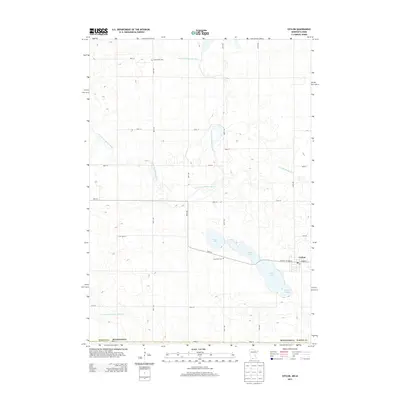
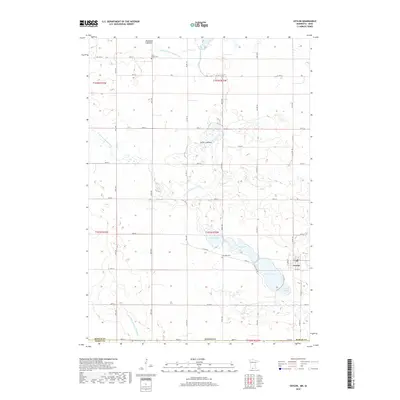
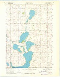 1970 Wilbert1972 Print · USGSThe Minnesota-Iowa borderlands come to life in the early seventies, showcasing a landscape of glacial lakes and prairie townships. Researchers can locate the Wilbert Townhall, trace family plots at Tenhassen Cem, and explore the shoreline of Okamanpeedan Lake.
 - 1985 Map of Fairmont, 1991 Print
 1985 Fairmont1991 Print · USGSSouthern Minnesota in the mid-eighties shows a robust network of prairie towns and rail-connected agricultural hubs. Genealogists can trace family footprints across Rolling Green and Manyaska or locate old homesteads near Fox Lake and the Chicago & North Western line.
 - 2010 Map of Wilbert, 2010 Print
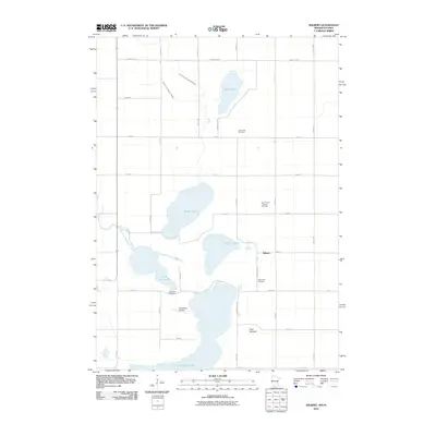 2010 Wilbert2010 Print · USGSCovers Ceylon, including Wilbert, Martin County, and other nearby areas
 - 2010 Map of Ceylon, 2010 Print
 2010 Ceylon2010 Print · USGSCovers Ceylon, including Martin County, Emmet County, and other nearby areas
 - 2013 Map of Wilbert, 2013 Print
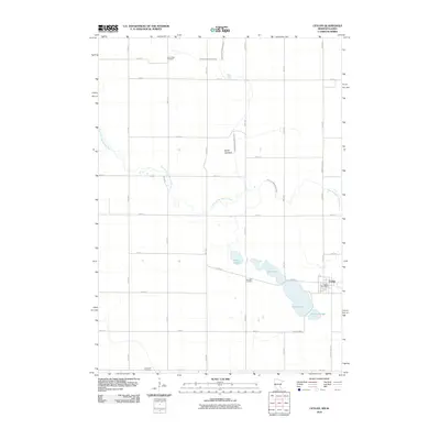
 2013 Wilbert2013 Print · USGSCovers Ceylon, including Wilbert, Martin County, and other nearby areas
 - 2013 Map of Ceylon, 2013 Print
 2013 Ceylon2013 Print · USGSCovers Ceylon, including Martin County, Emmet County, and other nearby areas
 - 2016 Map of Wilbert, 2016 Print
 2016 Wilbert2016 Print · USGSCovers Ceylon, including Wilbert, Martin County, and other nearby areas
 - 2016 Map of Ceylon, 2016 Print
 2016 Ceylon2016 Print · USGSCovers Ceylon, including Martin County, Emmet County, and other nearby areas
 - 2019 Map of Wilbert, 2019 Print
 2019 Wilbert2019 Print · USGSCovers Ceylon, including Wilbert, Martin County, and other nearby areas
 - 2019 Map of Ceylon, 2019 Print
 2019 Ceylon2019 Print · USGSCovers Ceylon, including Martin County, Emmet County, and other nearby areas
 - 2022 Map of Ceylon, 2022 Print
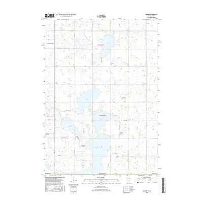
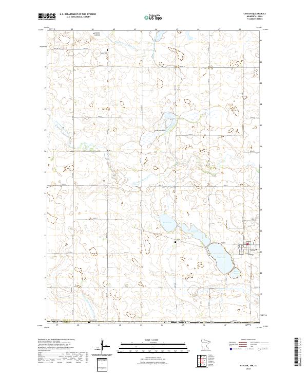 2022 Ceylon2022 Print · USGSThe Minnesota-Iowa border comes into focus in the early 2020s, revealing a landscape of managed wetlands and prairie lakebeds. Researchers can trace rural lineages at Lone Cedar Cem or Lake Belt Cem and explore the historic hydrology of Smith Lakebed.
 - 2022 Map of Wilbert, 2022 Print
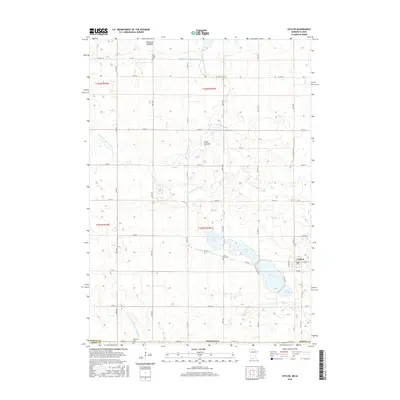
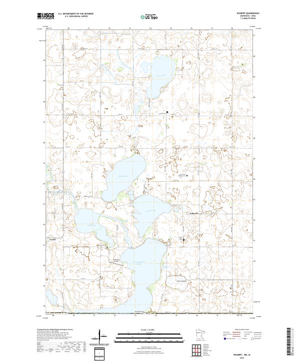 2022 Wilbert2022 Print · USGSThe rural borderlands of Martin County are captured in this study of the lake country around the Iowa line. Genealogists can locate family burial sites such as Saint Paul's Lutheran Cem and Teitje Farm Cem or trace the drainage of Okamanpeedan Lake.
End of results
Showing maps 1-15 of 15
Top cities near Ceylon
- Fairmont historical maps
- Estherville historical maps
- Sherburn historical maps
- Armstrong historical maps
- Trimont historical maps
- Welcome historical maps
See more
Frequently asked questions
- What are the different types of historical maps available for Ceylon?
- What is the oldest map of Ceylon?
- Where can I purchase historical maps of Ceylon for my home or office?
- Where can I download high-res historical maps of Ceylon?
- Are there historical topographic maps available for Ceylon?
- Is there historical aerial imagery available for Ceylon?
- Where are historical maps of Ceylon sourced from?