Old Maps of Welcome, Minnesota for Metal Detecting
Plan your next treasure hunt with 15 historic maps of Welcome. Find old homesites, ghost towns, trails, and gathering spots that may be lost to time — perfect for identifying promising metal detecting locations.
- Locate forgotten sites: Uncover places like long-lost settlements, abandoned rail lines, or gathering spots.
- Plan better hunts: Use map overlays combined with LiDAR or satellite views to narrow in on historically rich areas.
- Made for detectorists: Thousands of hobbyists use these maps to discover relics, coins, and hidden history.
Use these historic maps to boost your research and find new opportunities beneath the surface of Welcome.
Welcome, MN maps
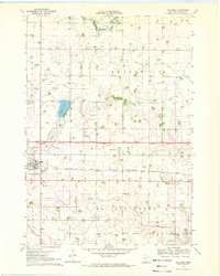
(15)- 1954 Map of Fairmont, 1967 Print
 1954 Fairmont1967 Print · USGSThe prairie landscape of southern Minnesota and northern Iowa comes alive in this mid-century survey of the Coteau des Prairies. Genealogists and historians can trace the rail-connected growth of Fairmont and Blue Earth or locate family roots near St Kilian Ch and Union Slough National Wildlife Refuge.3 unique versions available
 - 1958 Map of Fairmont
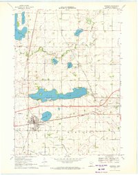
 1958 Fairmont1958 Print · USGSThe borderlands of southern Minnesota and northern Iowa come alive in the mid-1950s, showing a landscape defined by glacial lakes and rail-line commerce. Researchers can trace historic landmarks like Lakeside Laboratory, Gridley Station, and the Bancroft Wildlife Refuge across the prairie.
 - 1970 Map of Welcome, 1972 Print
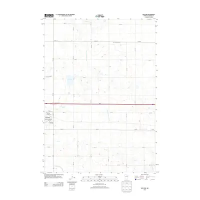
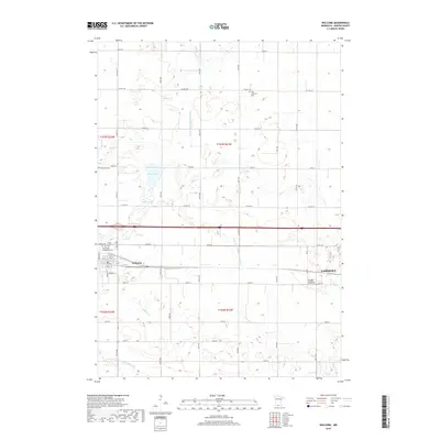
 1970 Welcome1972 Print · USGSWelcome is captured in the early 1970s as a bustling rail crossroads in Martin County during a period of agricultural expansion. Genealogists and local historians can trace the paths of the Milwaukee Road, locate the Emmanuel Cem, or find early civic sites like the Townhall.
 - 1970 Map of Sherburn, 1972 Print
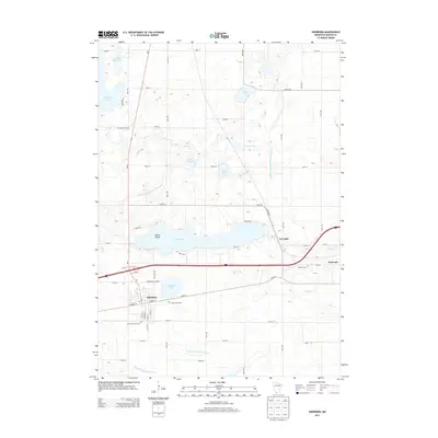
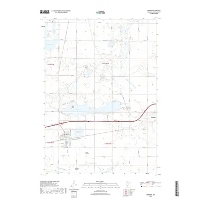
 1970 Sherburn1972 Print · USGSMartin County agriculture and rail transit meet in the early seventies as the interstate highway system begins its expansion. Trace the growth of Sherburn and Welcome or locate ancestral sites like Elm Creek Cem and the Emmanuel Ch.
 - 1985 Map of Fairmont, 1991 Print
 1985 Fairmont1991 Print · USGSSouthern Minnesota in the mid-eighties shows a robust network of prairie towns and rail-connected agricultural hubs. Genealogists can trace family footprints across Rolling Green and Manyaska or locate old homesteads near Fox Lake and the Chicago & North Western line.
 - 2010 Map of Sherburn, 2010 Print
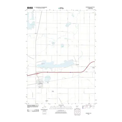 2010 Sherburn2010 Print · USGSCovers Welcome, including Sherburn, Fox Lake, and other nearby areas
 - 2010 Map of Welcome, 2010 Print
 2010 Welcome2010 Print · USGSCovers Welcome, including Fairmont, Martin County, and other nearby areas
 - 2013 Map of Welcome, 2013 Print
 2013 Welcome2013 Print · USGSCovers Welcome, including Fairmont, Martin County, and other nearby areas
 - 2013 Map of Sherburn, 2013 Print
 2013 Sherburn2013 Print · USGSCovers Welcome, including Sherburn, Fox Lake, and other nearby areas
 - 2016 Map of Sherburn, 2016 Print
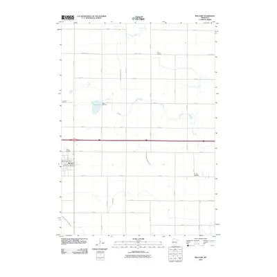
 2016 Sherburn2016 Print · USGSCovers Welcome, including Sherburn, Fox Lake, and other nearby areas
 - 2016 Map of Welcome, 2016 Print
 2016 Welcome2016 Print · USGSCovers Welcome, including Fairmont, Martin County, and other nearby areas
 - 2019 Map of Welcome, 2019 Print
 2019 Welcome2019 Print · USGSCovers Welcome, including Fairmont, Martin County, and other nearby areas
 - 2019 Map of Sherburn, 2019 Print
 2019 Sherburn2019 Print · USGSCovers Welcome, including Sherburn, Fox Lake, and other nearby areas
 - 2022 Map of Welcome, 2022 Print
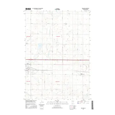
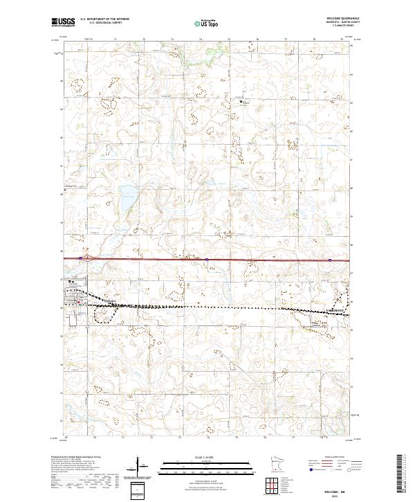 2022 Welcome2022 Print · USGSMartin County agriculture and small-town life are captured here in the early twenty-first century as the prairie landscape yields to a highly organized drainage network. Genealogists can locate several key burial sites including Zion Lutheran Cem and Saint Paul's Evangelical Cem near Welcome.
 - 2022 Map of Sherburn, 2022 Print
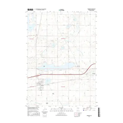
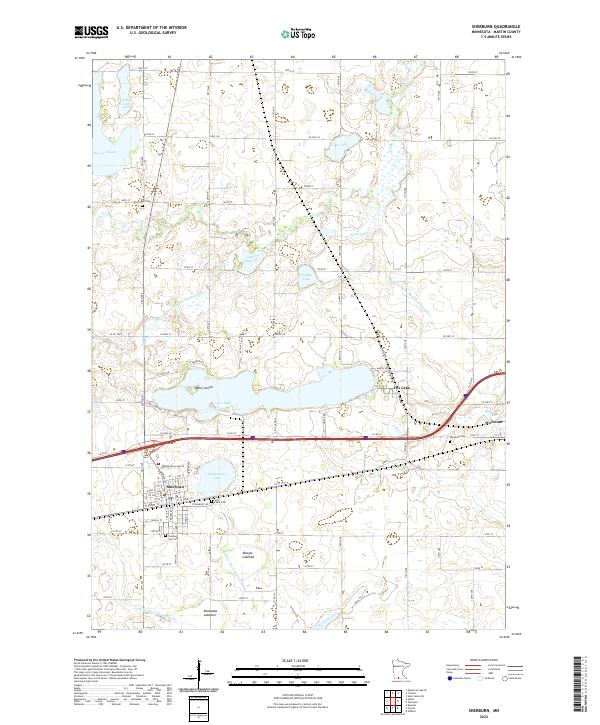 2022 Sherburn2022 Print · USGSThe prairie landscape of Martin County centers on Sherburn and Welcome in the early 2020s, showing a region defined by its lakes and agricultural heritage. Researchers can trace local lineage at Sherburn City Cemetery or explore the shorelines of Fox Lake and the former Munger Lakebed.
End of results
Showing maps 1-15 of 15
Top cities near Welcome
- Fairmont historical maps
- Truman historical maps
- Sherburn historical maps
- Trimont historical maps
- Ceylon historical maps
- South Branch historical maps
See more
Frequently asked questions
- What are the different types of historical maps available for Welcome?
- What is the oldest map of Welcome?
- Where can I purchase historical maps of Welcome for my home or office?
- Where can I download high-res historical maps of Welcome?
- Are there historical topographic maps available for Welcome?
- Is there historical aerial imagery available for Welcome?
- Where are historical maps of Welcome sourced from?