Old Maps of Glencoe Township, Minnesota for Genealogy
Trace your family roots with 33 historic maps of Glencoe Township. These high-res maps reveal old neighborhoods, homesites, landmarks, and streets — helping you uncover where your ancestors lived and how the area evolved over time.
- Explore historic neighborhoods: Identify where your relatives may have lived in the 1800s or 1900s.
- Compare maps over time: Trace the changes in streets, buildings, and landmarks for multi-generational research.
- Perfect for genealogy & ancestry research: Used by family historians and researchers to map out lineage and migration.
These maps are an incredible resource for exploring your personal connection to Glencoe Township's past.
Glencoe Township, MN maps
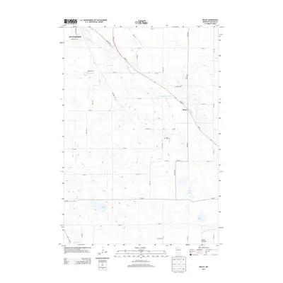
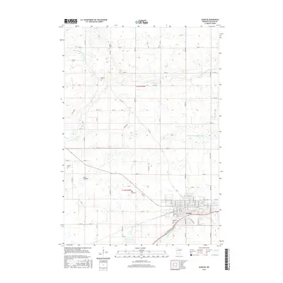
(33)- 1953 Map of New Ulm, 1968 Print
 1953 New Ulm1968 Print · USGSSouthern Minnesota in the mid-1950s is defined by its deep river valleys and the expanding reach of the Great Northern and Chicago and North Western railroads. Researchers can trace rural lineages through landmarks like the Milford State Monument, St. John's Ch, and the Upper Sioux Indian Res.3 unique versions available
 - 1957 Map of New Ulm
 1957 New Ulm1957 Print · USGSCentral Minnesota in the mid-fifties remains a landscape of river-valley commerce and prairie agriculture defined by its historic mission sites and rail towns. Genealogists and local historians can trace the development of New Ulm and Montevideo, or locate specific landmarks like the Milford State Monument and Minnesota Falls.
 - 1958 Map of New Ulm
 1958 New Ulm1958 Print · USGSSouth-central Minnesota’s river valleys and prairie towns are captured here in the mid-fifties, during the height of the region's rail-and-river economy. Genealogists and historians can trace the legacy of the Upper Sioux Indian Mission or locate early rail stops along the Chicago and North Western Ry in towns like Redwood Falls and Glencoe.
 - 1958 Map of Gaylord, 1959 Print
 1958 Gaylord1959 Print · USGSSibley County's farming heartland and railroad towns are captured here in the late fifties. Genealogists and local researchers can trace family landmarks like St Johannes Ch, New Auburn, and the Zion Sch & Cem along the Minneapolis and St Louis line.2 unique versions available
 - 1958 Map of Glencoe, 1959 Print
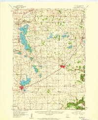
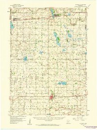
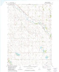
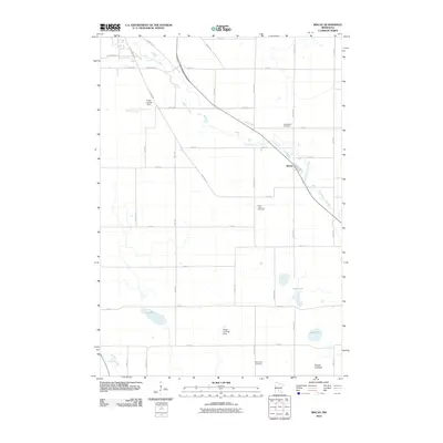
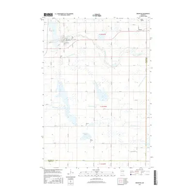
 1958 Glencoe1959 Print · USGSMcLeod County is shown here in the late fifties as a bustling agricultural and rail corridor. Genealogists and local historians can locate early schools and burial sites like Baker School, the Bohemian Cemetery, and St. Johns School and Church.
 - 1958 Map of Winthrop, 1959 Print
 1958 Winthrop1959 Print · USGSMid-century Sibley and McLeod counties are captured here as the rail-centered agricultural landscape reached its peak. Genealogists can trace family roots through several rural landmarks like St Boniface Cem, St John Sch, and the town of Winthrop.
 - 1958 Map of Hutchinson, 1959 Print
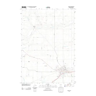
 1958 Hutchinson1959 Print · USGSHutchinson and the surrounding McLeod County townships are captured here in the late fifties at a height of rail-driven agricultural activity. Genealogists can trace family footprints through numerous rural landmarks like Zion Ch, Stahl Lake Sch, and the Immanuel Sch Cem.
 - 1967 Map of New Ulm
 1967 New Ulm1967 Print · USGSSouthern Minnesota in the mid-fifties is captured here as a landscape of river-valley missions and busy prairie rail towns. Researchers can trace the Yellow Medicine Trail and locate historic sites like the Morton Indian Mission and Milford State Monument.
 - 1982 Map of Biscay
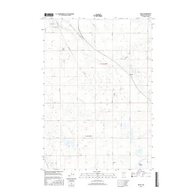
 1982 Biscay1982 Print · USGSBiscay and the surrounding townships in the early eighties were defined by the waters of the South Fork Crow River and an extensive network of drainage canals. Researchers can locate local landmarks like St Johns Ch, Emmanuel Cem, and private airfields such as Duast Landing Strip.
 - 1982 Map of Glencoe
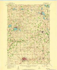
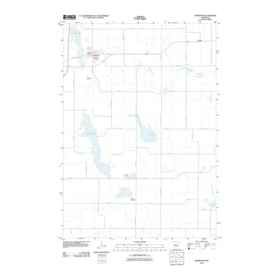
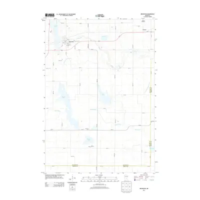
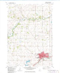 1982 Glencoe1982 Print · USGSMcLeod County is anchored by the industrial and agricultural activity of the early eighties, where the Milwaukee Road railroad meets the waters of Buffalo Creek. Genealogists and historians can trace family plots at Hillcrest Cemetery and Bear Creek Cemetery or locate the former settlement of Konaska.
 - 1982 Map of Brownton, 1983 Print
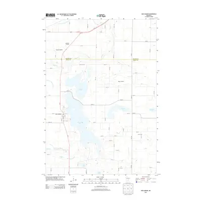
 1982 Brownton1983 Print · USGSMcLeod County farming and rail life are captured here in the early eighties, showing the region's managed waterways and rail corridors. Trace family history at Oak Grove Cem, visit the settlement of Sumter, or explore the wetlands of Bakers Lake.
 - 1982 Map of New Auburn, 1983 Print
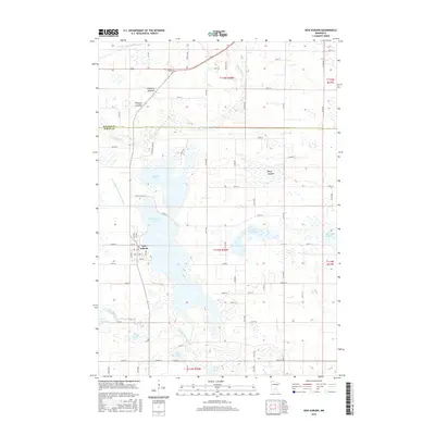
 1982 New Auburn1983 Print · USGSSibley County and the town of New Auburn are captured in the early eighties as a landscape of interconnected lakes and managed prairie drainage. Researchers can trace family sites near High Island Cem or follow the old C M St P & P rail line through Buffalo Creek.
 - 1986 Map of Glencoe
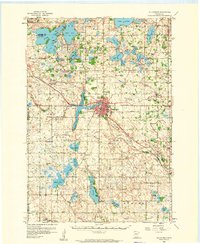
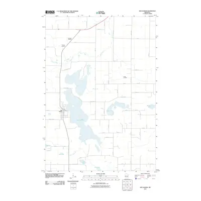
 1986 Glencoe1986 Print · USGSThe south-central Minnesota prairie and its glacial lake basins are captured here in the mid-1980s, showcasing a landscape of intensive farming and conservation. Genealogists can locate family-named landmarks and trace the rail lines of the Soo Line and Chicago and North Western through towns like Gaylord, Olivia, and Hutchinson.2 unique versions available
 - 2010 Map of Biscay, 2010 Print
 2010 Biscay2010 Print · USGSCovers Glencoe Township, including Hutchinson, Biscay, and other nearby areas
 - 2010 Map of Brownton, 2010 Print
 2010 Brownton2010 Print · USGSCovers Glencoe Township, including Brownton, Sumter, and other nearby areas
 - 2010 Map of Glencoe, 2010 Print
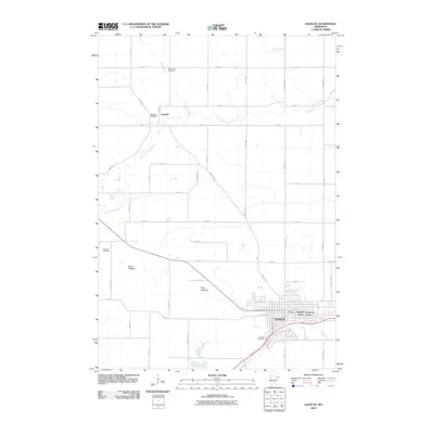 2010 Glencoe2010 Print · USGSCovers Glencoe Township, including Glencoe, Anderson Court, and other nearby areas
 - 2010 Map of New Auburn, 2010 Print
 2010 New Auburn2010 Print · USGSCovers Glencoe Township, including New Auburn, Ringo Mobile Home Park, and other nearby areas
 - 2013 Map of Biscay, 2013 Print
 2013 Biscay2013 Print · USGSCovers Glencoe Township, including Hutchinson, Biscay, and other nearby areas
 - 2013 Map of Glencoe, 2013 Print
 2013 Glencoe2013 Print · USGSCovers Glencoe Township, including Glencoe, Anderson Court, and other nearby areas
 - 2013 Map of Brownton, 2013 Print
 2013 Brownton2013 Print · USGSCovers Glencoe Township, including Brownton, Sumter, and other nearby areas
 - 2013 Map of New Auburn, 2013 Print
 2013 New Auburn2013 Print · USGSCovers Glencoe Township, including New Auburn, Ringo Mobile Home Park, and other nearby areas
 - 2016 Map of Glencoe, 2016 Print
 2016 Glencoe2016 Print · USGSCovers Glencoe Township, including Glencoe, Anderson Court, and other nearby areas
 - 2016 Map of Brownton, 2016 Print
 2016 Brownton2016 Print · USGSCovers Glencoe Township, including Brownton, Sumter, and other nearby areas
 - 2016 Map of Biscay, 2016 Print
 2016 Biscay2016 Print · USGSCovers Glencoe Township, including Hutchinson, Biscay, and other nearby areas
 - 2016 Map of New Auburn, 2016 Print
 2016 New Auburn2016 Print · USGSCovers Glencoe Township, including New Auburn, Ringo Mobile Home Park, and other nearby areas
Showing maps 1-25 of 33
Top cities near Glencoe Township
- Hutchinson historical maps
- Glencoe historical maps
- Winsted historical maps
- Gaylord historical maps
- Arlington historical maps
- Lester Prairie historical maps
See more
Frequently asked questions
- What are the different types of historical maps available for Glencoe Township?
- What is the oldest map of Glencoe Township?
- Where can I purchase historical maps of Glencoe Township for my home or office?
- Where can I download high-res historical maps of Glencoe Township?
- Are there historical topographic maps available for Glencoe Township?
- Is there historical aerial imagery available for Glencoe Township?
- Where are historical maps of Glencoe Township sourced from?