Old Maps of Helen Township, Minnesota for Hiking & Exploration
Hike through history with 31 historic maps of Helen Township. Explore old trails, ghost towns, and forgotten backroads — perfect for outdoor adventurers and local explorers.
- Rediscover forgotten places: Map out old mining camps, roads, and footpaths that no longer exist on modern maps.
- Layer with modern tools: Combine with LiDAR or satellite views to plan hikes through historical terrain.
- Made for exploration: Popular among hikers, overlanders, and local history lovers.
Use these maps to find adventure and explore the hidden past of Helen Township.
Helen Township, MN maps
(31)- 1953 Map of New Ulm, 1968 Print
 1953 New Ulm1968 Print · USGSSouthern Minnesota in the mid-1950s is defined by its deep river valleys and the expanding reach of the Great Northern and Chicago and North Western railroads. Researchers can trace rural lineages through landmarks like the Milford State Monument, St. John's Ch, and the Upper Sioux Indian Res.3 unique versions available
 - 1957 Map of New Ulm
 1957 New Ulm1957 Print · USGSCentral Minnesota in the mid-fifties remains a landscape of river-valley commerce and prairie agriculture defined by its historic mission sites and rail towns. Genealogists and local historians can trace the development of New Ulm and Montevideo, or locate specific landmarks like the Milford State Monument and Minnesota Falls.
 - 1958 Map of New Ulm
 1958 New Ulm1958 Print · USGSSouth-central Minnesota’s river valleys and prairie towns are captured here in the mid-fifties, during the height of the region's rail-and-river economy. Genealogists and historians can trace the legacy of the Upper Sioux Indian Mission or locate early rail stops along the Chicago and North Western Ry in towns like Redwood Falls and Glencoe.
 - 1958 Map of Gaylord, 1959 Print
 1958 Gaylord1959 Print · USGSSibley County's farming heartland and railroad towns are captured here in the late fifties. Genealogists and local researchers can trace family landmarks like St Johannes Ch, New Auburn, and the Zion Sch & Cem along the Minneapolis and St Louis line.2 unique versions available
 - 1958 Map of Glencoe, 1959 Print
 1958 Glencoe1959 Print · USGSMcLeod County is shown here in the late fifties as a bustling agricultural and rail corridor. Genealogists and local historians can locate early schools and burial sites like Baker School, the Bohemian Cemetery, and St. Johns School and Church.
 - 1967 Map of New Ulm
 1967 New Ulm1967 Print · USGSSouthern Minnesota in the mid-fifties is captured here as a landscape of river-valley missions and busy prairie rail towns. Researchers can trace the Yellow Medicine Trail and locate historic sites like the Morton Indian Mission and Milford State Monument.
 - 1982 Map of Plato
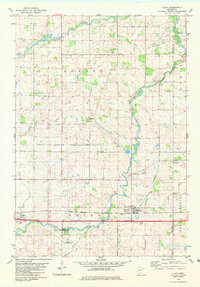 1982 Plato1982 Print · USGSMcLeod County farming and rail transport are captured here in the early eighties as the rail line serves the grain elevators of Plato. Genealogists and historians can locate rural landmarks like St Paul Cem, the Swedish Ch, and the Glencoe Municipal Airfield.
 - 1982 Map of Glencoe
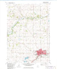 1982 Glencoe1982 Print · USGSMcLeod County is anchored by the industrial and agricultural activity of the early eighties, where the Milwaukee Road railroad meets the waters of Buffalo Creek. Genealogists and historians can trace family plots at Hillcrest Cemetery and Bear Creek Cemetery or locate the former settlement of Konaska.
 - 1982 Map of New Auburn, 1983 Print
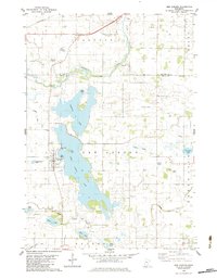 1982 New Auburn1983 Print · USGSSibley County and the town of New Auburn are captured in the early eighties as a landscape of interconnected lakes and managed prairie drainage. Researchers can trace family sites near High Island Cem or follow the old C M St P & P rail line through Buffalo Creek.
 - 1982 Map of Green Isle, 1983 Print
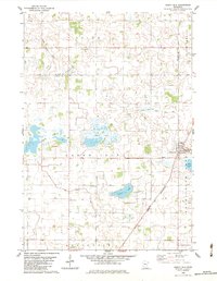 1982 Green Isle1983 Print · USGSThe Sibley County prairie is captured here in the early 1980s, showcasing a landscape of drainage ditches and vanished lakes. Researchers can trace family roots at St Marys Cem or locate rural landmarks like the Townhall and the Chicago and North Western rail corridor.
 - 1986 Map of Glencoe
 1986 Glencoe1986 Print · USGSThe south-central Minnesota prairie and its glacial lake basins are captured here in the mid-1980s, showcasing a landscape of intensive farming and conservation. Genealogists can locate family-named landmarks and trace the rail lines of the Soo Line and Chicago and North Western through towns like Gaylord, Olivia, and Hutchinson.2 unique versions available
 - 2010 Map of Glencoe, 2010 Print
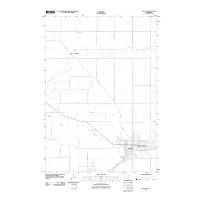 2010 Glencoe2010 Print · USGSGlencoe and the surrounding McLeod County countryside are mapped here during the early twenty-first century as the area continued its agricultural and residential evolution. Researchers can trace local lineages through Bear Creek Cemetery and Getchell Cemetery or explore the drainage of Swan Lakebed.
 - 2010 Map of Green Isle, 2010 Print
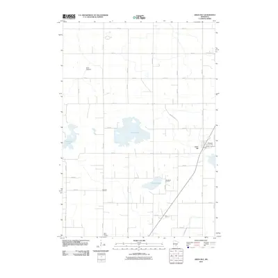 2010 Green Isle2010 Print · USGSSibley County farmland is captured here in the early twenty-first century, centered on the settlement of Green Isle. Researchers can locate several burial sites including the Saint Marys Cemetery and trace the path of the evocative Stagecoach Rd.
 - 2010 Map of New Auburn, 2010 Print
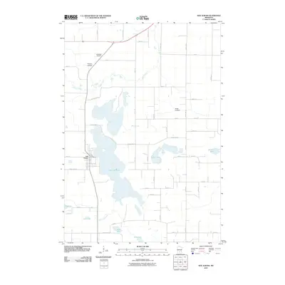 2010 New Auburn2010 Print · USGSNew Auburn and the surrounding Sibley County lake country are captured here in the early twenty-first century. Genealogists and local historians can trace the town's layout near the New Auburn Post Office or locate family-named features like Severance Lake and Fadden Lake.
 - 2010 Map of Plato, 2010 Print
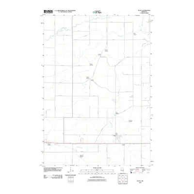 2010 Plato2010 Print · USGSPlato and the surrounding McLeod County townships are captured here during a period of modern agricultural stability. Researchers can locate numerous family and parish landmarks, such as Bergan Township Cemetery, Saint Johns Cemetery, and the Plato Post Office.
 - 2013 Map of Plato, 2013 Print
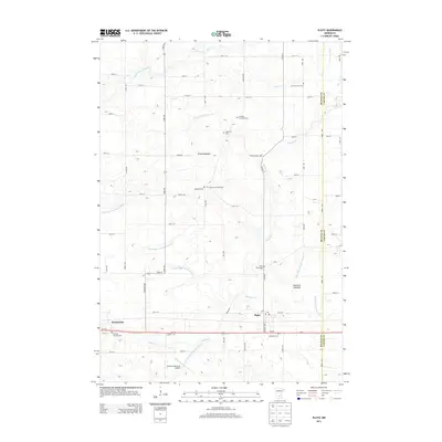 2013 Plato2013 Print · USGSMcLeod and Carver counties appear here in the early twenty-first century, showing a landscape defined by agriculture and water management. Local historians can trace early settlement through sites like Swedish Lutheran Cem and Plato, or explore the drained basins of Brush Lakebed.
 - 2013 Map of Glencoe, 2013 Print
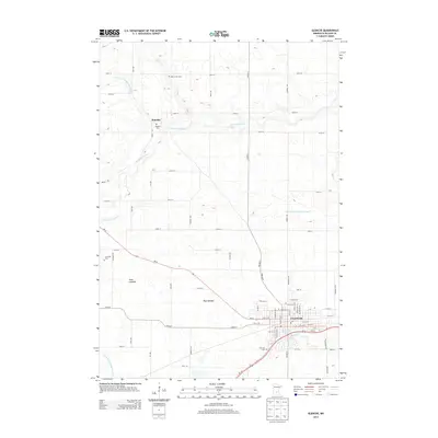 2013 Glencoe2013 Print · USGSGlencoe and the surrounding prairie of McLeod County are shown here as they appeared in the early 21st century. Genealogists can locate several historic burial sites like Bear Creek Cem and Koniska Cem or trace the drainage of Swan Lakebed near the village of Koniska.
 - 2013 Map of Green Isle, 2013 Print
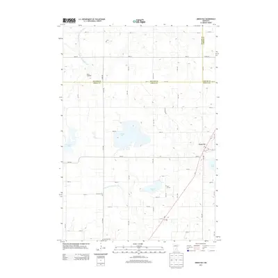 2013 Green Isle2013 Print · USGSGreen Isle and the surrounding Sibley County farmland are shown here in the early twenty-first century as the town grid meets a landscape shaped by drainage engineering. Genealogists and local historians can locate several rural burial sites, including Green Isle Cem, Zion Cem, and Saint Marys Cem.
 - 2013 Map of New Auburn, 2013 Print
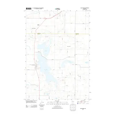 2013 New Auburn2013 Print · USGSNew Auburn and the surrounding lake country of Sibley County are captured here in the early twenty-first century as a landscape of both active waters and historic lakebeds. Researchers can trace rural landmarks and farm sites like Sunshine Dairy, Berge Lakebed, and High Island Lake.
 - 2016 Map of Glencoe, 2016 Print
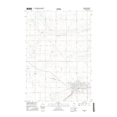 2016 Glencoe2016 Print · USGSGlencoe and its surrounding McLeod County townships are documented here during the mid-2010s, showing a landscape defined by prairie agriculture and prairie streams. Researchers can trace local lineage at Hillcrest Cem or locate the historic basins of the Swan Lakebed and Bog Lakebed.
 - 2016 Map of Green Isle, 2016 Print
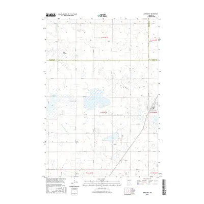 2016 Green Isle2016 Print · USGSSibley County's agricultural heartland is documented here in the mid-2010s, showing the intersection of local townships and historic drainage systems. Genealogists can locate several rural burial sites and schools such as Zion School Cem and Saint Marys Cem near the town of Green Isle.
 - 2016 Map of Plato, 2016 Print
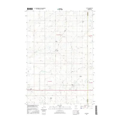 2016 Plato2016 Print · USGSThe township of Plato and the surrounding McLeod County farmlands are captured here in the mid-2010s, showcasing a landscape defined by drainage and tradition. Researchers can locate numerous local burial grounds like Bergan Township Cem and Saint Johns Cem or trace the path of Buffalo Cr.
 - 2016 Map of New Auburn, 2016 Print
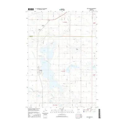 2016 New Auburn2016 Print · USGSNew Auburn and the surrounding Sibley County countryside are shown in detail during the mid-2010s. Genealogists and hydrologists can trace the evolution of the local landscape through features like Brewster Lakebed, High Island Lake, and the winding Buffalo Cr.
 - 2019 Map of New Auburn, 2019 Print
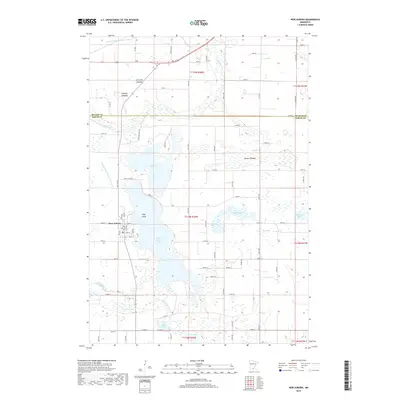 2019 New Auburn2019 Print · USGSNew Auburn and its surrounding townships appear here during the late 2010s, showing a rural landscape defined by glacial lakebeds and prairie drainage. Researchers can trace the boundaries of High Island Lake, locate the community of New Auburn, and identify several former lakes like Brewster Lakebed.
 - 2019 Map of Plato, 2019 Print
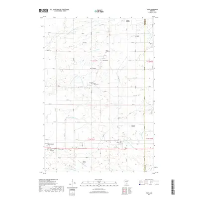 2019 Plato2019 Print · USGSMcLeod County farming and engineering are on full display in this 2019 survey of the Minnesota prairie. Researchers can trace family roots at the Swedish Lutheran Cem and Saint Johns Cem or follow the path of the South Fork Crow River.
Showing maps 1-25 of 31
Top cities near Helen Township
- Glencoe historical maps
- Watertown historical maps
- Norwood Young America historical maps
- Winsted historical maps
- Gaylord historical maps
- Arlington historical maps
See more
Frequently asked questions
- What are the different types of historical maps available for Helen Township?
- What is the oldest map of Helen Township?
- Where can I purchase historical maps of Helen Township for my home or office?
- Where can I download high-res historical maps of Helen Township?
- Are there historical topographic maps available for Helen Township?
- Is there historical aerial imagery available for Helen Township?
- Where are historical maps of Helen Township sourced from?