2000s (21st Century) Maps of Sumter Township, Minnesota
Explore 20 historic maps of Sumter Township from the 2000s (21st Century). These maps offer a rare glimpse into what life looked like during the 2000s — showing old roads, neighborhoods, homes, and landmarks that have changed or disappeared over time.
Whether you're researching your family's past, planning a metal detecting trip, or studying how Sumter Township's landscape evolved across the 2000s, these high-resolution maps are a powerful tool for exploring the history of this region.
- Focus on a specific era: All maps on this page are from the 2000s, giving you a focused view of this time period.
- See what’s changed: Compare century-old streets, trails, and buildings to today's modern landscape using overlays and satellite layers.
- Research with precision: Use these maps for genealogy, historical research, land use analysis, or educational projects.
- View, download, or print: Maps are fully viewable online in high resolution, and can be downloaded or printed for your own records.
Start exploring Sumter Township's history through authentic maps from the 2000s. This is your window into the past.
Sumter Township, MN maps
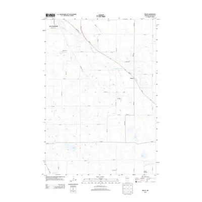
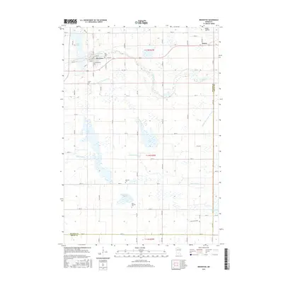
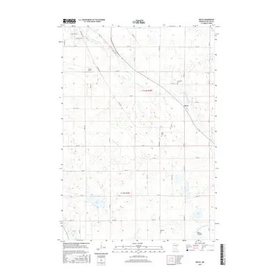
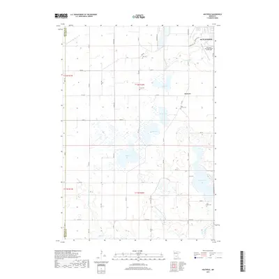
(20)- 2010 Map of Biscay, 2010 Print
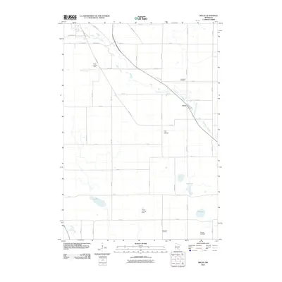 2010 Biscay2010 Print · USGSCovers Sumter Township, including Hutchinson, Biscay, and other nearby areas
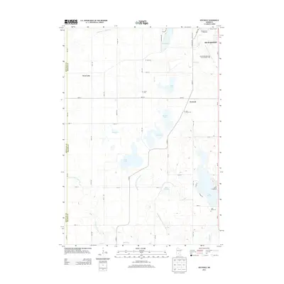
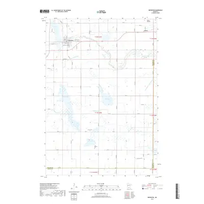
 - 2010 Map of Brownton, 2010 Print
 2010 Brownton2010 Print · USGSCovers Sumter Township, including Brownton, Sumter, and other nearby areas
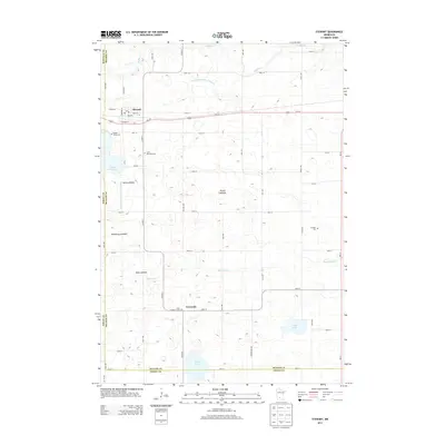
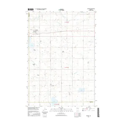
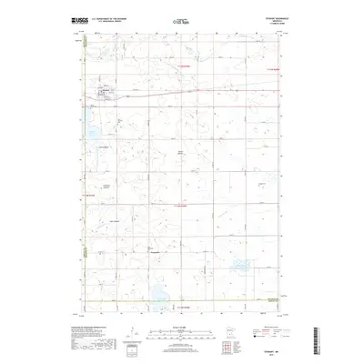
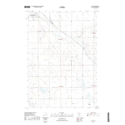
 - 2010 Map of Stewart, 2010 Print
 2010 Stewart2010 Print · USGSCovers Sumter Township, including Stewart, Round Grove Township, and other nearby areas
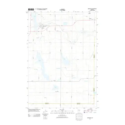
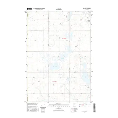
 - 2010 Map of Heatwole, 2010 Print
 2010 Heatwole2010 Print · USGSCovers Sumter Township, including Hutchinson, Boon Lake Township, and other nearby areas
 - 2013 Map of Biscay, 2013 Print
 2013 Biscay2013 Print · USGSCovers Sumter Township, including Hutchinson, Biscay, and other nearby areas
 - 2013 Map of Heatwole, 2013 Print
 2013 Heatwole2013 Print · USGSCovers Sumter Township, including Hutchinson, Boon Lake Township, and other nearby areas
 - 2013 Map of Stewart, 2013 Print
 2013 Stewart2013 Print · USGSCovers Sumter Township, including Stewart, Round Grove Township, and other nearby areas
 - 2013 Map of Brownton, 2013 Print
 2013 Brownton2013 Print · USGSCovers Sumter Township, including Brownton, Sumter, and other nearby areas
 - 2016 Map of Brownton, 2016 Print
 2016 Brownton2016 Print · USGSCovers Sumter Township, including Brownton, Sumter, and other nearby areas
 - 2016 Map of Stewart, 2016 Print
 2016 Stewart2016 Print · USGSCovers Sumter Township, including Stewart, Round Grove Township, and other nearby areas
 - 2016 Map of Biscay, 2016 Print
 2016 Biscay2016 Print · USGSCovers Sumter Township, including Hutchinson, Biscay, and other nearby areas
 - 2016 Map of Heatwole, 2016 Print
 2016 Heatwole2016 Print · USGSCovers Sumter Township, including Hutchinson, Boon Lake Township, and other nearby areas
 - 2019 Map of Heatwole, 2019 Print
 2019 Heatwole2019 Print · USGSCovers Sumter Township, including Hutchinson, Boon Lake Township, and other nearby areas
 - 2019 Map of Stewart, 2019 Print
 2019 Stewart2019 Print · USGSCovers Sumter Township, including Stewart, Round Grove Township, and other nearby areas
 - 2019 Map of Brownton, 2019 Print
 2019 Brownton2019 Print · USGSCovers Sumter Township, including Brownton, Sumter, and other nearby areas
 - 2019 Map of Biscay, 2019 Print
 2019 Biscay2019 Print · USGSCovers Sumter Township, including Hutchinson, Biscay, and other nearby areas
 - 2022 Map of Heatwole, 2022 Print
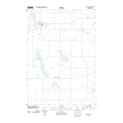
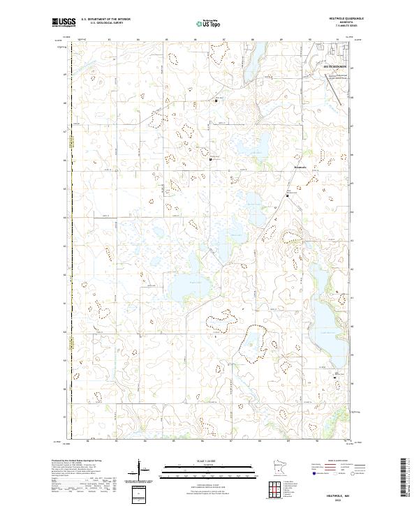 2022 Heatwole2022 Print · USGSMcLeod County at the start of the 2020s shows a landscape of precision drainage and prairie lakes. Researchers can trace rural lineages through sites like Saint Mortens Cem or locate old farm boundaries near Eagle Lake and Heatwole.
 - 2022 Map of Stewart, 2022 Print
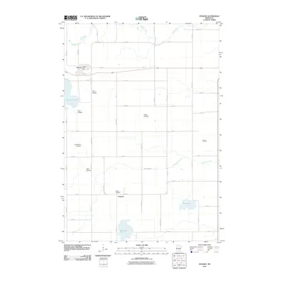
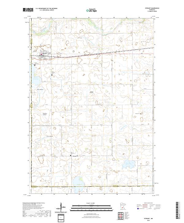 2022 Stewart2022 Print · USGSStewart and the McLeod County countryside are shown here in the early twenty-first century, revealing a landscape shaped by agricultural drainage and rural community life. Genealogists can trace local roots at Round Grove Cem and Saint Matthew's Cem or locate the small settlement of Fernando.
 - 2022 Map of Brownton, 2022 Print
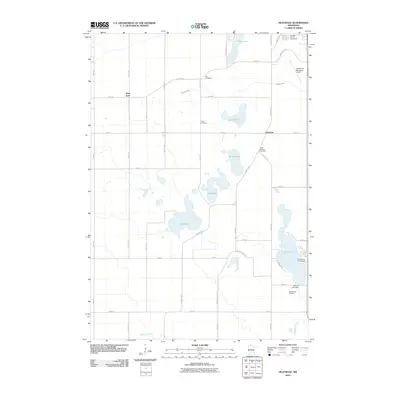
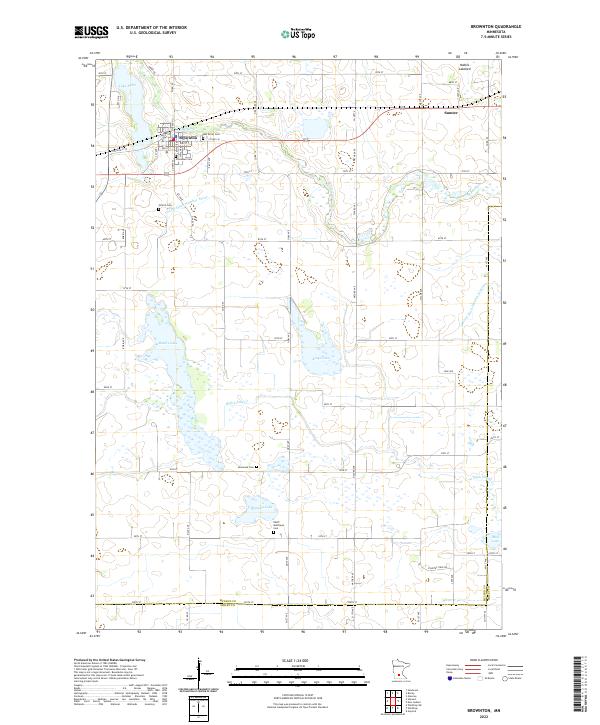 2022 Brownton2022 Print · USGSThe agricultural plains of McLeod County appear in the early 2020s, centered on the historic crossroads of Brownton. Family historians can locate several rural burial grounds including Oak Grove Cem, Saint Matthew's Cem, and Streich Cem.
 - 2022 Map of Biscay, 2022 Print
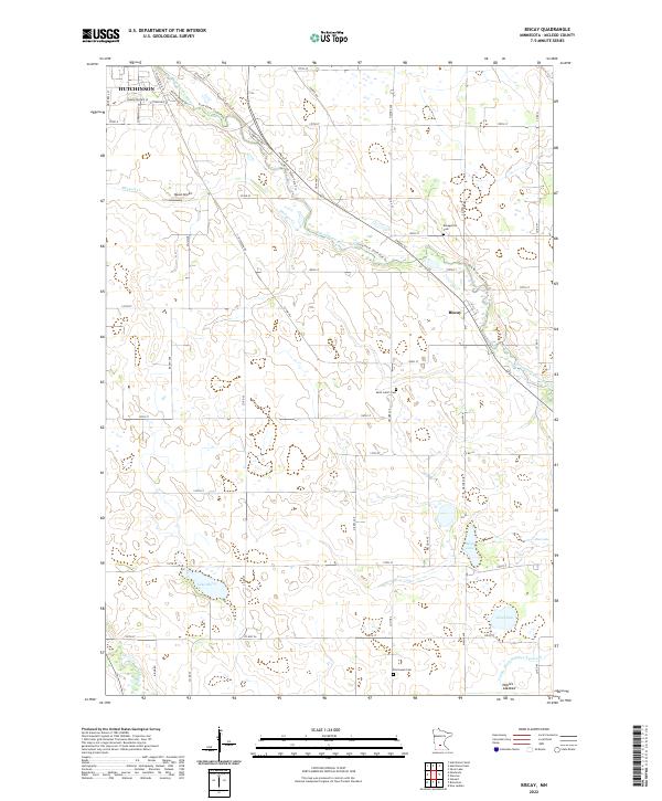 2022 Biscay2022 Print · USGSMcLeod County farmland meets the winding S Fork Crow River in this 2022 survey of the area surrounding Biscay. Researchers can trace the legacy of local families through the Evangelical Cem and Saint John's Cem or locate the site of Nobles Lakebed.
End of results
Showing maps 1-20 of 20
Top cities near Sumter Township
- Hutchinson historical maps
- Glencoe historical maps
- Gaylord historical maps
- Arlington historical maps
- Winthrop historical maps
- Silver Lake historical maps
See more
Top neighborhoods of Sumter Township
Frequently asked questions
- What are the different types of historical maps available for Sumter Township?
- What is the oldest map of Sumter Township?
- Where can I purchase historical maps of Sumter Township for my home or office?
- Where can I download high-res historical maps of Sumter Township?
- Are there historical topographic maps available for Sumter Township?
- Is there historical aerial imagery available for Sumter Township?
- Where are historical maps of Sumter Township sourced from?