2020s Maps of Wahkon, Minnesota
Explore 2 historic maps of Wahkon from the 2020s. These maps offer a rare glimpse into what life looked like during the 2020s — showing old roads, neighborhoods, homes, and landmarks that have changed or disappeared over time.
Whether you're researching your family's past, planning a metal detecting trip, or studying how Wahkon's landscape evolved across the 2020s, these high-resolution maps are a powerful tool for exploring the history of this region.
- Focus on a specific era: All maps on this page are from the 2020s, giving you a focused view of this time period.
- See what’s changed: Compare century-old streets, trails, and buildings to today's modern landscape using overlays and satellite layers.
- Research with precision: Use these maps for genealogy, historical research, land use analysis, or educational projects.
- View, download, or print: Maps are fully viewable online in high resolution, and can be downloaded or printed for your own records.
Start exploring Wahkon's history through authentic maps from the 2020s. This is your window into the past.
Wahkon, MN maps
(2)- 2022 Map of Wahkon North, 2022 Print
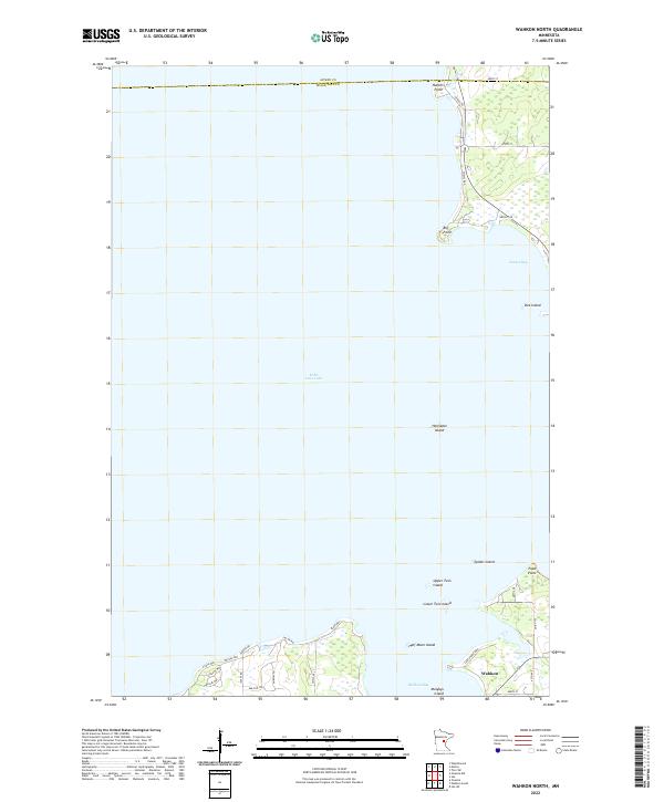 2022 Wahkon North2022 Print · USGSThe southern shores of Mille Lacs Lake come into focus in this contemporary survey of the area around Wahkon. Researchers can trace the modern road networks and coastal landmarks like Hennepin Island, Wahkon Bay, and the residential layouts near Big Point.
 - 2022 Map of Wahkon South, 2022 Print
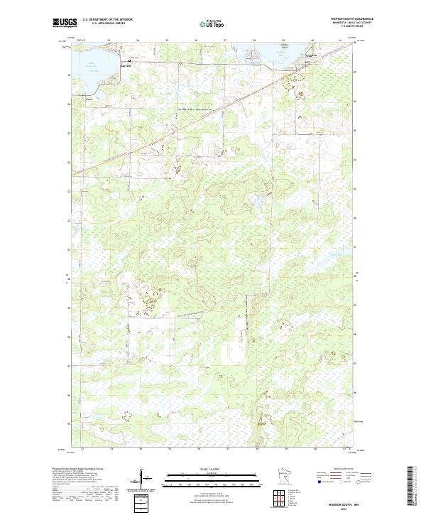 2022 Wahkon South2022 Print · USGSThe southern shores of Mille Lacs Lake are captured here in the early 2020s, showing the intersection of lakefront settlements and recreational trails. Genealogists and local historians can trace the Soo Line South: Mille Lacs Trl past Foster Cem and through the community of Wahkon.
End of results
Showing maps 1-2 of 2
Top cities near Wahkon
Frequently asked questions
- What are the different types of historical maps available for Wahkon?
- What is the oldest map of Wahkon?
- Where can I purchase historical maps of Wahkon for my home or office?
- Where can I download high-res historical maps of Wahkon?
- Are there historical topographic maps available for Wahkon?
- Is there historical aerial imagery available for Wahkon?
- Where are historical maps of Wahkon sourced from?