Old Maps of Freedhem, Minnesota for Genealogy
Trace your family roots with 13 historic maps of Freedhem. These high-res maps reveal old neighborhoods, homesites, landmarks, and streets — helping you uncover where your ancestors lived and how the area evolved over time.
- Explore historic neighborhoods: Identify where your relatives may have lived in the 1800s or 1900s.
- Compare maps over time: Trace the changes in streets, buildings, and landmarks for multi-generational research.
- Perfect for genealogy & ancestry research: Used by family historians and researchers to map out lineage and migration.
These maps are an incredible resource for exploring your personal connection to Freedhem's past.
Freedhem, MN maps
(13)- 1948 Map of Lastrup, 1971 Print
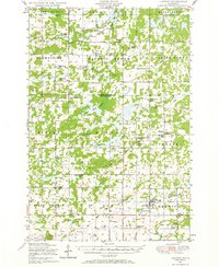 1948 Lastrup1971 Print · USGSCentral Minnesota farming communities thrive along the riverbanks in this post-war landscape. Genealogists can trace family roots through numerous rural landmarks like Holy Cross Church, the Freedhem Cemetery, and the Granite Town Hall.
 - 1950 Map of Lastrup
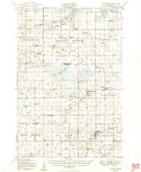 1950 Lastrup1950 Print · USGSIn the late 1940s, the rural townships of eastern Morrison County were organized around a dense network of local school districts and small parish towns. Researchers can trace family roots at Riverside Cemetery or locate the sites of numerous vanished rural schools like District No 19 School and District No 84 School.2 unique versions available
 - 1953 Map of Brainerd, 1966 Print
 1953 Brainerd1966 Print · USGSCentral Minnesota's lake country and iron ranges are detailed in the mid-fifties, showing the intersection of industry and wilderness. Researchers can locate specific local landmarks like the Crow Wing County Courthouse or trace the early paths of the Soo Line Railroad and the Cuyuna Range Iron Mines.3 unique versions available
 - 1957 Map of Brainerd
 1957 Brainerd1957 Print · USGSNorth-central Minnesota's lake-rich landscape is captured in the mid-1950s as a crossroads of rail, river, and forest. Genealogists and historians can trace the paths of the Great Northern and Soo Line railroads through hubs like Brainerd, Wadena, and Detroit Lakes.
 - 1958 Map of Brainerd
 1958 Brainerd1958 Print · USGSCentral Minnesota in the late fifties is a landscape of dense lake chains, rail hubs, and sprawling state forests. Genealogists and local historians can trace old property alignments near the Mississippi River or locate family sites in Brainerd, Little Falls, and Detroit Lakes.
 - 1965 Map of Brainerd
 1965 Brainerd1965 Print · USGSNorth-central Minnesota in the mid-fifties presents a complex landscape of sprawling lake systems and established rail corridors. Genealogists and historians can trace the growth of timber towns along the Northern Pacific RR and explore early borders of the White Earth Indian Reservation or Tamarac National Wildlife Refuge.
 - 1981 Map of Freedhem, 1982 Print
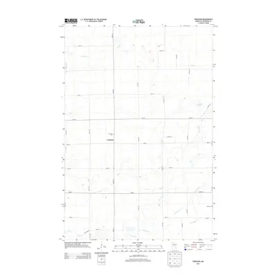
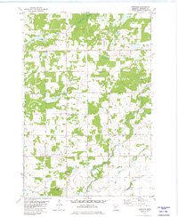 1981 Freedhem1982 Print · USGSMorrison County in the early eighties was a landscape of small townships and riparian corridors. Genealogists and local historians can locate the Freedhem Cem, trace the winding Platte River, and identify old Quarries near the community of Freedhem.
 - 1986 Map of Brainerd
 1986 Brainerd1986 Print · USGSCentral Minnesota's lake country and river junctions are captured here in the mid-1980s. Genealogists and historians can trace the Burlington Northern line through Staples or locate family sites near Brainerd State Hospital and Gull Lake.2 unique versions available
 - 2010 Map of Freedhem, 2010 Print
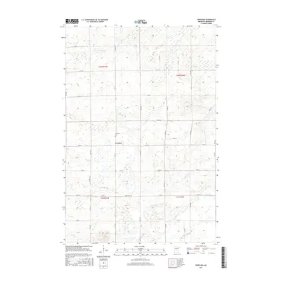
 2010 Freedhem2010 Print · USGSCovers Freedhem, including Morrison County, United States, and other nearby areas
 - 2013 Map of Freedhem, 2013 Print
 2013 Freedhem2013 Print · USGSCovers Freedhem, including Morrison County, United States, and other nearby areas
 - 2016 Map of Freedhem, 2016 Print
 2016 Freedhem2016 Print · USGSCovers Freedhem, including Morrison County, United States, and other nearby areas
 - 2019 Map of Freedhem, 2019 Print
 2019 Freedhem2019 Print · USGSCovers Freedhem, including Morrison County, United States, and other nearby areas
 - 2022 Map of Freedhem, 2022 Print
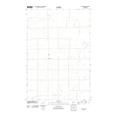
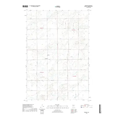
 2022 Freedhem2022 Print · USGSThe rural landscape of Morrison County is meticulously detailed here in the early twenty-first century. Researchers can locate the Freedhem Lutheran Cem near the central settlement of Freedhem and trace the winding course of the Platte River.
End of results
Showing maps 1-13 of 13
Top cities near Freedhem
- Little Falls historical maps
- Crow Wing historical maps
- Pierz historical maps
- Belle Prairie historical maps
- Royalton historical maps
- Platte historical maps
See more
Frequently asked questions
- What are the different types of historical maps available for Freedhem?
- What is the oldest map of Freedhem?
- Where can I purchase historical maps of Freedhem for my home or office?
- Where can I download high-res historical maps of Freedhem?
- Are there historical topographic maps available for Freedhem?
- Is there historical aerial imagery available for Freedhem?
- Where are historical maps of Freedhem sourced from?