Old Maps of Fulda, Minnesota for Metal Detecting
Plan your next treasure hunt with 15 historic maps of Fulda. Find old homesites, ghost towns, trails, and gathering spots that may be lost to time — perfect for identifying promising metal detecting locations.
- Locate forgotten sites: Uncover places like long-lost settlements, abandoned rail lines, or gathering spots.
- Plan better hunts: Use map overlays combined with LiDAR or satellite views to narrow in on historically rich areas.
- Made for detectorists: Thousands of hobbyists use these maps to discover relics, coins, and hidden history.
Use these historic maps to boost your research and find new opportunities beneath the surface of Fulda.
Fulda, MN maps
(15)- 1954 Map of Fairmont, 1967 Print
 1954 Fairmont1967 Print · USGSThe prairie landscape of southern Minnesota and northern Iowa comes alive in this mid-century survey of the Coteau des Prairies. Genealogists and historians can trace the rail-connected growth of Fairmont and Blue Earth or locate family roots near St Kilian Ch and Union Slough National Wildlife Refuge.3 unique versions available
 - 1958 Map of Fairmont
 1958 Fairmont1958 Print · USGSThe borderlands of southern Minnesota and northern Iowa come alive in the mid-1950s, showing a landscape defined by glacial lakes and rail-line commerce. Researchers can trace historic landmarks like Lakeside Laboratory, Gridley Station, and the Bancroft Wildlife Refuge across the prairie.
 - 1970 Map of Fulda, 1972 Print
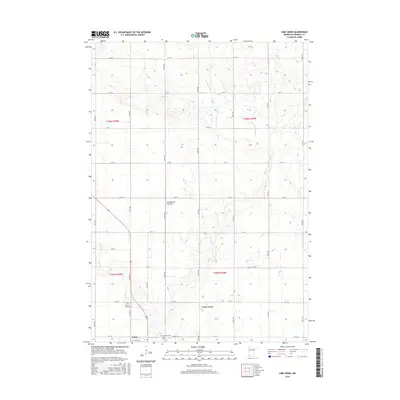
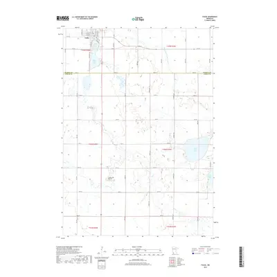
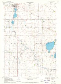 1970 Fulda1972 Print · USGSIn the early 1970s, the prairie town of Fulda remained a vital rail crossroads where the Chicago and North Western met the Milwaukee Road. Local historians can trace the development of the High School and the recreational lands surrounding West Graham Lake and Fulda Second Lake.
 - 1970 Map of Lime Creek, 1972 Print
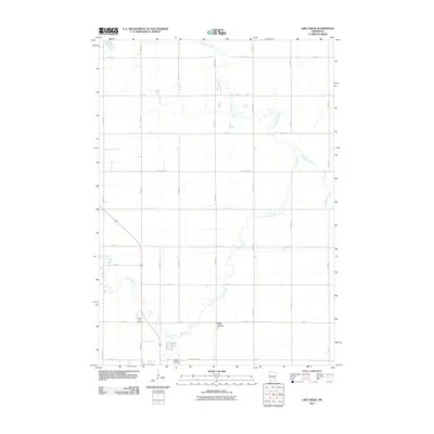
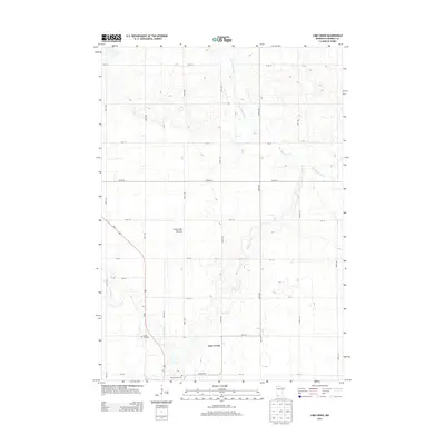
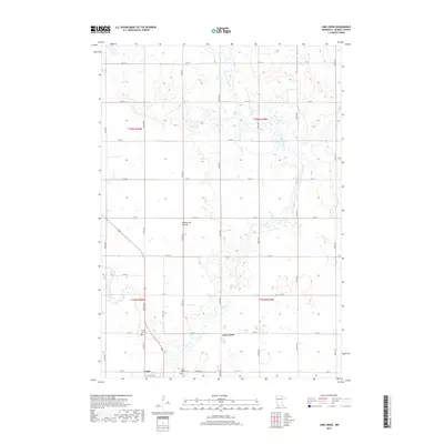
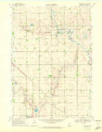 1970 Lime Creek1972 Print · USGSMurray County in the early seventies is defined by its prairie wetlands and the rail-side growth of Fulda. Genealogists and local historians can map out old property lines near Prairie Hill Cem, the small settlement of Lime Creek, and the Townhall.
 - 1985 Map of Worthington
 1985 Worthington1985 Print · USGSSouthwestern Minnesota and northwestern Iowa are captured in the mid-1980s, showcasing the high-water mark of the region's agricultural and rail-line infrastructure. Researchers can trace the path of the Chicago and North Western through prairie towns like Adrian, Wilmont, and Lakefield.2 unique versions available
 - 2010 Map of Lime Creek, 2010 Print
 2010 Lime Creek2010 Print · USGSCovers Fulda, including Lime Creek, Murray County, and other nearby areas
 - 2010 Map of Fulda, 2010 Print
 2010 Fulda2010 Print · USGSCovers Fulda, including Nobles County, Murray County, and other nearby areas
 - 2013 Map of Lime Creek, 2013 Print
 2013 Lime Creek2013 Print · USGSCovers Fulda, including Lime Creek, Murray County, and other nearby areas
 - 2013 Map of Fulda, 2013 Print
 2013 Fulda2013 Print · USGSCovers Fulda, including Nobles County, Murray County, and other nearby areas
 - 2016 Map of Lime Creek, 2016 Print
 2016 Lime Creek2016 Print · USGSCovers Fulda, including Lime Creek, Murray County, and other nearby areas
 - 2016 Map of Fulda, 2016 Print
 2016 Fulda2016 Print · USGSCovers Fulda, including Nobles County, Murray County, and other nearby areas
 - 2019 Map of Fulda, 2019 Print
 2019 Fulda2019 Print · USGSCovers Fulda, including Nobles County, Murray County, and other nearby areas
 - 2019 Map of Lime Creek, 2019 Print
 2019 Lime Creek2019 Print · USGSCovers Fulda, including Lime Creek, Murray County, and other nearby areas
 - 2022 Map of Fulda, 2022 Print
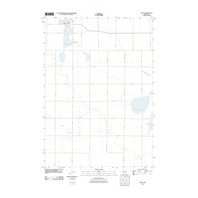
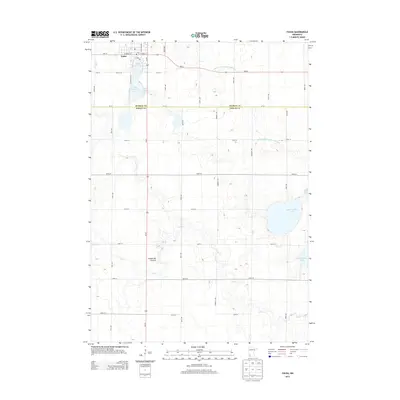
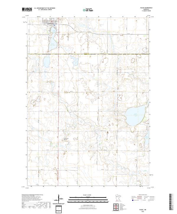 2022 Fulda2022 Print · USGSThe southwestern Minnesota prairie around Fulda is captured here in the early twenty-first century, showing a landscape defined by its lakes and agricultural grid. Researchers can trace land tracts near West Graham Lake or follow the path of Jack Cr across the Coteau des Prairies.
 - 2022 Map of Lime Creek, 2022 Print
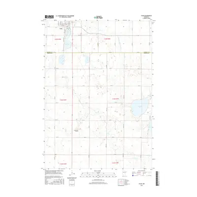
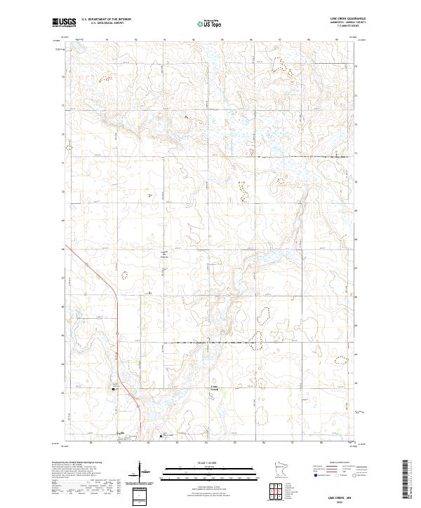 2022 Lime Creek2022 Print · USGSMurray County's agricultural uplands are captured here in the early twenty-first century, showing the rural character of the Coteau des Prairies. Researchers can trace local heritage at Prairie Hill Cem and the settlement of Lime Creek.
End of results
Showing maps 1-15 of 15
Top cities near Fulda
- Worthington historical maps
- Slayton historical maps
- Brewster historical maps
- Wilmont historical maps
- Currie historical maps
- Iona historical maps
See more
Frequently asked questions
- What are the different types of historical maps available for Fulda?
- What is the oldest map of Fulda?
- Where can I purchase historical maps of Fulda for my home or office?
- Where can I download high-res historical maps of Fulda?
- Are there historical topographic maps available for Fulda?
- Is there historical aerial imagery available for Fulda?
- Where are historical maps of Fulda sourced from?