Old Maps of Byron, Minnesota for Genealogy
Trace your family roots with 16 historic maps of Byron. These high-res maps reveal old neighborhoods, homesites, landmarks, and streets — helping you uncover where your ancestors lived and how the area evolved over time.
- Explore historic neighborhoods: Identify where your relatives may have lived in the 1800s or 1900s.
- Compare maps over time: Trace the changes in streets, buildings, and landmarks for multi-generational research.
- Perfect for genealogy & ancestry research: Used by family historians and researchers to map out lineage and migration.
These maps are an incredible resource for exploring your personal connection to Byron's past.
Byron, MN maps
(16)- 1953 Map of Saint Paul, 1964 Print
 1953 Saint Paul1964 Print · USGSThe Twin Cities and the Mississippi River valley are captured here at a mid-century turning point. Trace the early growth of Minneapolis and Saint Paul alongside landmarks like Lake Minnetonka and the St Croix River.4 unique versions available
 - 1959 Map of Saint Paul
 1959 Saint Paul1959 Print · USGSThe Twin Cities and southeastern Minnesota appear here in the late fifties, showing the peak of the rail era and post-war suburban growth. Genealogists can trace family footprints near Lake Minnetonka, the Univ Of Minn Rosemount Research Center, or the growing neighborhoods of Richfield.2 unique versions available
 - 1965 Map of Byron, 1967 Print
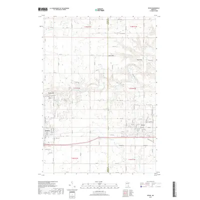
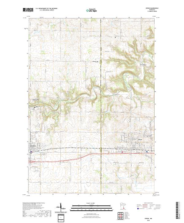
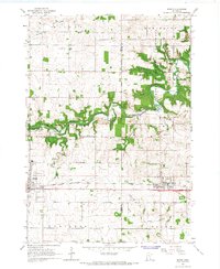 1965 Byron1967 Print · USGSThe railroad towns of Kasson and Byron are captured in the mid-sixties, showing the transition from traditional farming to modern growth. Researchers can trace the Chicago and North Western rail line and locate landmarks like the Fairground and Othello Cem.2 unique versions available
 - 1966 Map of Douglas, 1967 Print
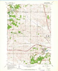 1966 Douglas1967 Print · USGSOlmsted County rural life meets the expanding edge of the city in the mid-sixties. Genealogists and local historians can locate early schools like Stone Corner Sch, various Gravel Pits, and trace the path of the Chicago Great Western railroad.3 unique versions available
 - 1985 Map of Rochester
 1985 Rochester1985 Print · USGSSoutheastern Minnesota in the mid-eighties centers on the growth of Rochester and its surrounding river valleys. Trace family roots and old rail lines through Mantorville, Pine Island, and along the Mississippi River near Lake Pepin.
 - 1989 Map of Rochester
 1989 Rochester1989 Print · USGSSoutheastern Minnesota and the Mississippi River bluffs are captured here in the late eighties as the region balanced urban growth with its river-and-rail heritage. Researchers can trace the development of Rochester and find smaller rail towns like Kasson, Dodge Center, and Zumbrota.2 unique versions available
 - 2010 Map of Byron, 2010 Print
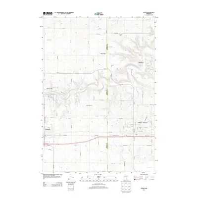
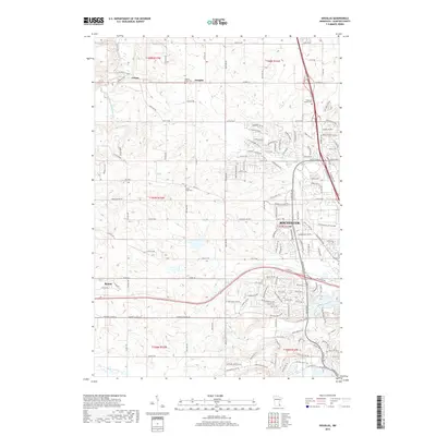
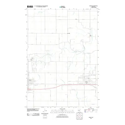 2010 Byron2010 Print · USGSCovers Byron, including Kasson, Mantorville, and other nearby areas
 - 2010 Map of Douglas, 2010 Print
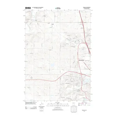
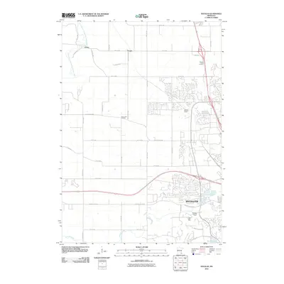 2010 Douglas2010 Print · USGSCovers Byron, including Rochester, Douglas, and other nearby areas
 - 2013 Map of Byron, 2013 Print
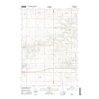
 2013 Byron2013 Print · USGSCovers Byron, including Kasson, Mantorville, and other nearby areas
 - 2013 Map of Douglas, 2013 Print
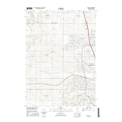
 2013 Douglas2013 Print · USGSCovers Byron, including Rochester, Douglas, and other nearby areas
 - 2016 Map of Byron, 2016 Print
 2016 Byron2016 Print · USGSCovers Byron, including Kasson, Mantorville, and other nearby areas
 - 2016 Map of Douglas, 2016 Print
 2016 Douglas2016 Print · USGSCovers Byron, including Rochester, Douglas, and other nearby areas
 - 2019 Map of Douglas, 2019 Print
 2019 Douglas2019 Print · USGSCovers Byron, including Rochester, Douglas, and other nearby areas
 - 2019 Map of Byron, 2019 Print
 2019 Byron2019 Print · USGSCovers Byron, including Kasson, Mantorville, and other nearby areas
 - 2022 Map of Douglas, 2022 Print
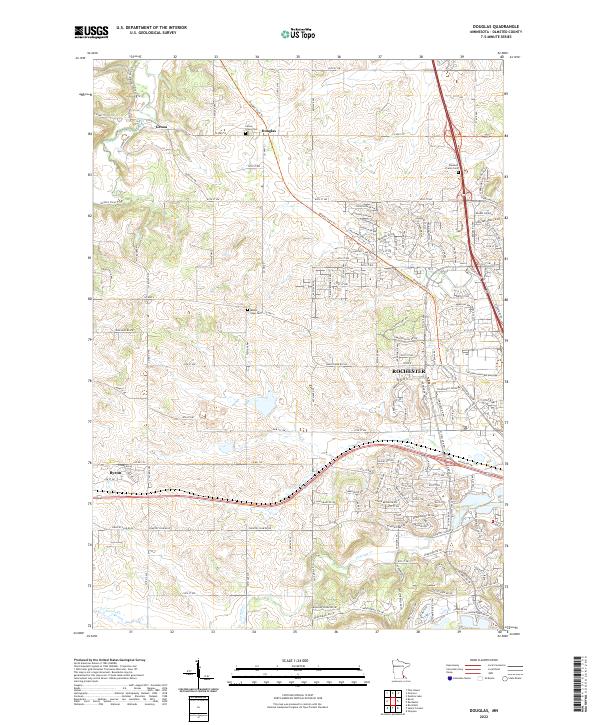 2022 Douglas2022 Print · USGSOlmsted County’s landscape northwest of Rochester is revealed in this contemporary survey, tracing the growth of Byron and Genoa. Researchers can identify family history at Center Grove Cem or trace the route of the Douglas State Trl.
 - 2022 Map of Byron, 2022 Print
 2022 Byron2022 Print · USGSDodge and Olmsted Counties meet in this detailed survey of the rural landscape near Byron and Kasson. Local researchers can trace family lands near historic Post Town or locate ancestral sites at Othello Cem and Saint Margaret Cem along the Zumbro River tributaries.
End of results
Showing maps 1-16 of 16
Top cities near Byron
- Rochester historical maps
- Kasson historical maps
- Stewartville historical maps
- Pine Island historical maps
- Dodge Center historical maps
- Oronoco historical maps
See more
Frequently asked questions
- What are the different types of historical maps available for Byron?
- What is the oldest map of Byron?
- Where can I purchase historical maps of Byron for my home or office?
- Where can I download high-res historical maps of Byron?
- Are there historical topographic maps available for Byron?
- Is there historical aerial imagery available for Byron?
- Where are historical maps of Byron sourced from?