Old Maps of Dakota Junction, Minnesota for Academic Research
Study the evolution of Dakota Junction with 13 high-resolution historic maps. Whether you're teaching, researching, or modeling changes in land use, these maps provide essential visual documentation of urban, environmental, and geographic change.
- Analyze long-term change: Track patterns in development, transportation, and natural features.
- Ideal for environmental or urban studies: Support academic projects with primary historical map data.
- Use in the classroom or lab: Educators and researchers rely on these maps to bring historical context to life.
These maps are a powerful tool for teaching, research, and visualizing how Dakota Junction has changed over the decades.
Dakota Junction, MN maps
(13)- 1943 Map of Thief River Falls
 1943 Thief River Falls1943 Print · USGSPennington County during the Second World War shows a landscape defined by the convergence of major rail lines and the drainage of the Red River Valley. Genealogists and historians can trace rail stops and rural landmarks like Steiner, St. Hilaire, and Church Cem.
 - 1952 Map of Thief River Falls, 1967 Print
 1952 Thief River Falls1967 Print · USGSThe Red River Valley's agricultural and conservation landscape is captured in the mid-1950s, detailing a web of rail lines and international border crossings. Researchers can trace family roots in towns like Thief River Falls, locate the State School for Blind, and survey landmarks like the Agassiz National Wildlife Refuge.2 unique versions available
 - 1956 Map of Thief River Falls
 1956 Thief River Falls1956 Print · USGSThe Red River Valley in the mid-1950s is captured here as a sprawling network of rail corridors and wildlife refuges along the Canadian border. Trace the vanished transport routes of the Dismantled railroad and Abandoned railroad or locate local landmarks like the Herrick Elevator and State School for Blind.
 - 1957 Map of Thief River Falls
 1957 Thief River Falls1957 Print · USGSThe Red River Valley in the mid-fifties is captured here as a thriving network of rail towns and conservation lands. Genealogists and historians can trace family roots through settlements like Grafton, Pembina, and Hallock, or locate landmarks such as the State School for Blind and the Great Northern RR corridor.
 - 1961 Map of Thief River Falls NW, 1963 Print
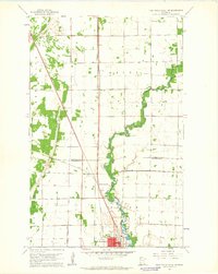 1961 Thief River Falls NW1963 Print · USGSThe rail-and-river hub of northwest Minnesota comes alive in the early sixties as the city expands toward the north and west. Researchers can trace family sites near St Bernard Cem, follow the Great Northern tracks to Dakota Junction, and locate the Steiner Community Hall.2 unique versions available
 - 1967 Map of Thief River Falls
 1967 Thief River Falls1967 Print · USGSThe Red River Valley and the international border come alive in the 1960s, showing a landscape shaped by major rail lines and river commerce. Genealogists and historians can trace the paths of the Great Northern and Soo Line through towns like Thief River Falls, Grafton, and Hallock.
 - 1985 Map of Thief River Falls
 1985 Thief River Falls1985 Print · USGSNorthwestern Minnesota’s agricultural heartland is captured here in the mid-eighties, showing the transition from drainage-dependent farmlands to vast wildlife refuges. Trace the Burlington Northern rail lines through Warren and Stephen, or locate family landmarks near Dakota Junction and Carpenters Corner.
 - 1992 Map of Thief River Falls
 1992 Thief River Falls1992 Print · USGSThe Red River Valley's agricultural heartland is documented here in the early nineties, showing the vital rail and river networks of Marshall and Pennington counties. Researchers can trace family ties and vanished homesteads near St Hilaire, Strandquist, and the Agassiz National Wildlife Refuge.
 - 2010 Map of Thief River Falls NW, 2010 Print
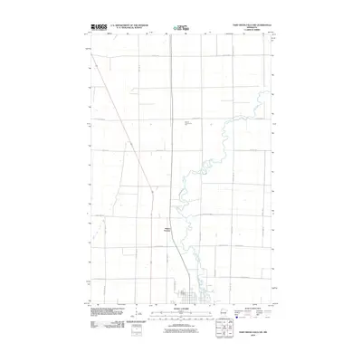 2010 Thief River Falls NW2010 Print · USGSPennington County at the start of the 2010s shows a landscape of steady agricultural patterns and rural intersections north of the city. Genealogists and local historians can trace the Thief River corridor, locate the Saint Bernard Cemetery, and identify the site of Dakota Junction.
 - 2013 Map of Thief River Falls NW, 2013 Print
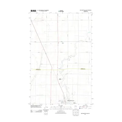 2013 Thief River Falls NW2013 Print · USGSThe northern outskirts of Thief River Falls come into focus in the early 2010s, where the Thief River meets the rural agricultural grid. Researchers can locate Saint Bernard Cem, the Steiner Community Hall, and the convergence of rail and road at Dakota Junction.
 - 2016 Map of Thief River Falls NW, 2016 Print
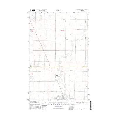 2016 Thief River Falls NW2016 Print · USGSThief River Falls and its northern environs are shown in the mid-2010s as the community expands toward the Marshall County line. Researchers can trace local landmarks like Saint Bernard Cem, Dakota Junction, and the Thief River as it flows south.
 - 2019 Map of Thief River Falls NW, 2019 Print
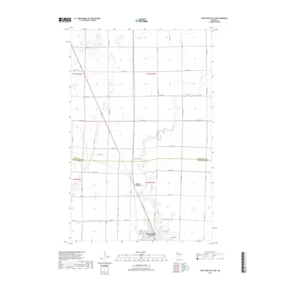 2019 Thief River Falls NW2019 Print · USGSThief River Falls and its northern agricultural surroundings are captured here in the late twenty-teens, showing the transition from city to prairie. Genealogists and local historians can locate Saint Bernard Cem or trace the rail layout at Dakota Junction.
 - 2022 Map of Thief River Falls NW, 2022 Print
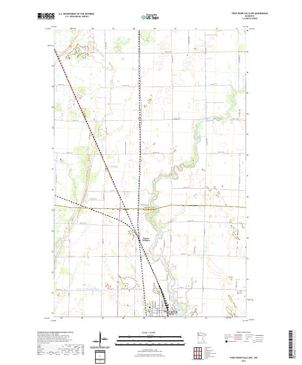 2022 Thief River Falls NW2022 Print · USGSThe northwestern approaches to Thief River Falls are mapped here in the early 2020s, showing a landscape of productive farmstead grids and river bends. Trace the winding Thief River past Dakota Junction and the local Saint Bernard Cem.
End of results
Showing maps 1-13 of 13
Top cities near Dakota Junction
- Thief River Falls historical maps
- Newfolden historical maps
- Viking historical maps
- Holt historical maps
- Wylie historical maps
Frequently asked questions
- What are the different types of historical maps available for Dakota Junction?
- What is the oldest map of Dakota Junction?
- Where can I purchase historical maps of Dakota Junction for my home or office?
- Where can I download high-res historical maps of Dakota Junction?
- Are there historical topographic maps available for Dakota Junction?
- Is there historical aerial imagery available for Dakota Junction?
- Where are historical maps of Dakota Junction sourced from?