Old Maps of St. Hilaire, Minnesota for Hiking & Exploration
Hike through history with 13 historic maps of St. Hilaire. Explore old trails, ghost towns, and forgotten backroads — perfect for outdoor adventurers and local explorers.
- Rediscover forgotten places: Map out old mining camps, roads, and footpaths that no longer exist on modern maps.
- Layer with modern tools: Combine with LiDAR or satellite views to plan hikes through historical terrain.
- Made for exploration: Popular among hikers, overlanders, and local history lovers.
Use these maps to find adventure and explore the hidden past of St. Hilaire.
St. Hilaire, MN maps
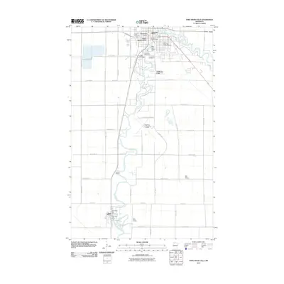
(13)- 1943 Map of Thief River Falls
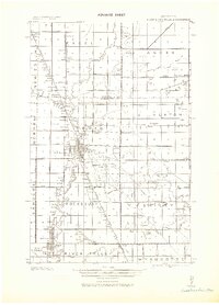 1943 Thief River Falls1943 Print · USGSPennington County during the Second World War shows a landscape defined by the convergence of major rail lines and the drainage of the Red River Valley. Genealogists and historians can trace rail stops and rural landmarks like Steiner, St. Hilaire, and Church Cem.
 - 1952 Map of Thief River Falls, 1967 Print
 1952 Thief River Falls1967 Print · USGSThe Red River Valley's agricultural and conservation landscape is captured in the mid-1950s, detailing a web of rail lines and international border crossings. Researchers can trace family roots in towns like Thief River Falls, locate the State School for Blind, and survey landmarks like the Agassiz National Wildlife Refuge.2 unique versions available
 - 1956 Map of Thief River Falls
 1956 Thief River Falls1956 Print · USGSThe Red River Valley in the mid-1950s is captured here as a sprawling network of rail corridors and wildlife refuges along the Canadian border. Trace the vanished transport routes of the Dismantled railroad and Abandoned railroad or locate local landmarks like the Herrick Elevator and State School for Blind.
 - 1957 Map of Thief River Falls
 1957 Thief River Falls1957 Print · USGSThe Red River Valley in the mid-fifties is captured here as a thriving network of rail towns and conservation lands. Genealogists and historians can trace family roots through settlements like Grafton, Pembina, and Hallock, or locate landmarks such as the State School for Blind and the Great Northern RR corridor.
 - 1959 Map of Thief River Falls, 1960 Print
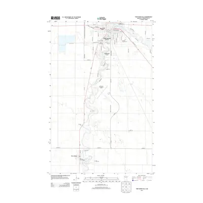
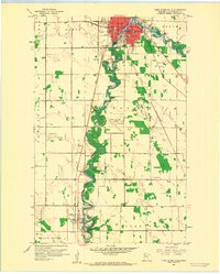 1959 Thief River Falls1960 Print · USGSThief River Falls and St. Hilaire are captured at a mid-century crossroads where the Red Lake River meets heavy rail commerce. Researchers can trace family roots through numerous burial sites like Riverside Cem and landmarks such as Lincoln High Sch.2 unique versions available
 - 1967 Map of Thief River Falls
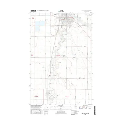
 1967 Thief River Falls1967 Print · USGSThe Red River Valley and the international border come alive in the 1960s, showing a landscape shaped by major rail lines and river commerce. Genealogists and historians can trace the paths of the Great Northern and Soo Line through towns like Thief River Falls, Grafton, and Hallock.
 - 1985 Map of Thief River Falls
 1985 Thief River Falls1985 Print · USGSNorthwestern Minnesota’s agricultural heartland is captured here in the mid-eighties, showing the transition from drainage-dependent farmlands to vast wildlife refuges. Trace the Burlington Northern rail lines through Warren and Stephen, or locate family landmarks near Dakota Junction and Carpenters Corner.
 - 1992 Map of Thief River Falls
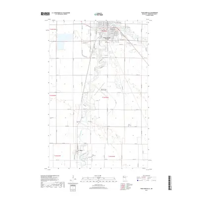
 1992 Thief River Falls1992 Print · USGSThe Red River Valley's agricultural heartland is documented here in the early nineties, showing the vital rail and river networks of Marshall and Pennington counties. Researchers can trace family ties and vanished homesteads near St Hilaire, Strandquist, and the Agassiz National Wildlife Refuge.
 - 2010 Map of Thief River Falls, 2010 Print
 2010 Thief River Falls2010 Print · USGSCovers St. Hilaire, including Thief River Falls, Aaesby Trailer Court, and other nearby areas
 - 2013 Map of Thief River Falls, 2013 Print
 2013 Thief River Falls2013 Print · USGSCovers St. Hilaire, including Thief River Falls, Aaesby Trailer Court, and other nearby areas
 - 2016 Map of Thief River Falls, 2016 Print
 2016 Thief River Falls2016 Print · USGSCovers St. Hilaire, including Thief River Falls, Aaesby Trailer Court, and other nearby areas
 - 2019 Map of Thief River Falls, 2019 Print
 2019 Thief River Falls2019 Print · USGSCovers St. Hilaire, including Thief River Falls, Aaesby Trailer Court, and other nearby areas
 - 2022 Map of Thief River Falls, 2022 Print
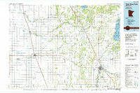
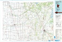
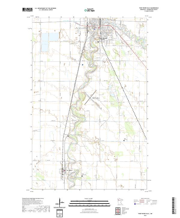 2022 Thief River Falls2022 Print · USGSPennington County in the early 2020s remains defined by the winding Red Lake River and its riverside communities. Genealogists and historians can trace property boundaries and landmarks from Thief River Falls down to the streets of St. Hilaire.
End of results
Showing maps 1-13 of 13
Top cities near St. Hilaire
- Thief River Falls historical maps
- Red Lake Falls historical maps
- Plummer historical maps
- Brooks historical maps
- Terrebonne historical maps
- Viking historical maps
See more
Top neighborhoods of St. Hilaire
Frequently asked questions
- What are the different types of historical maps available for St. Hilaire?
- What is the oldest map of St. Hilaire?
- Where can I purchase historical maps of St. Hilaire for my home or office?
- Where can I download high-res historical maps of St. Hilaire?
- Are there historical topographic maps available for St. Hilaire?
- Is there historical aerial imagery available for St. Hilaire?
- Where are historical maps of St. Hilaire sourced from?