2000s (21st Century) Maps of Pokegama Township, Minnesota
Explore 30 historic maps of Pokegama Township from the 2000s (21st Century). These maps offer a rare glimpse into what life looked like during the 2000s — showing old roads, neighborhoods, homes, and landmarks that have changed or disappeared over time.
Whether you're researching your family's past, planning a metal detecting trip, or studying how Pokegama Township's landscape evolved across the 2000s, these high-resolution maps are a powerful tool for exploring the history of this region.
- Focus on a specific era: All maps on this page are from the 2000s, giving you a focused view of this time period.
- See what’s changed: Compare century-old streets, trails, and buildings to today's modern landscape using overlays and satellite layers.
- Research with precision: Use these maps for genealogy, historical research, land use analysis, or educational projects.
- View, download, or print: Maps are fully viewable online in high resolution, and can be downloaded or printed for your own records.
Start exploring Pokegama Township's history through authentic maps from the 2000s. This is your window into the past.
Pokegama Township, MN maps
(30)- 2010 Map of Beroun, 2010 Print
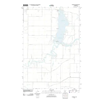
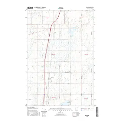
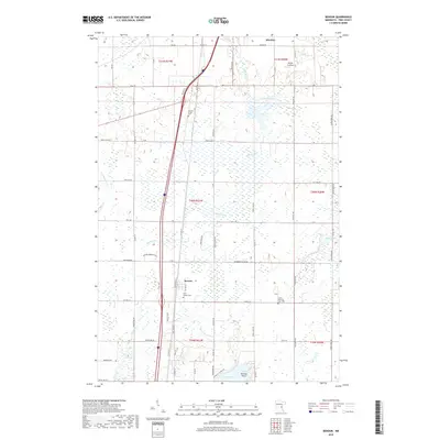
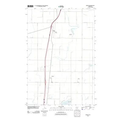 2010 Beroun2010 Print · USGSCovers Pokegama Township, including Hinckley, Mission Creek Township, and other nearby areas
 - 2010 Map of Pine City, 2010 Print
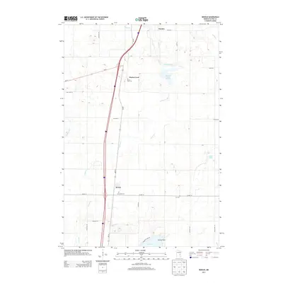
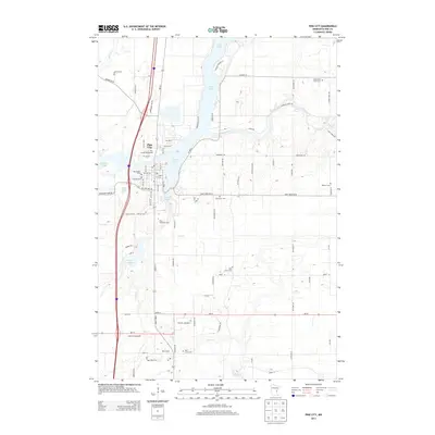
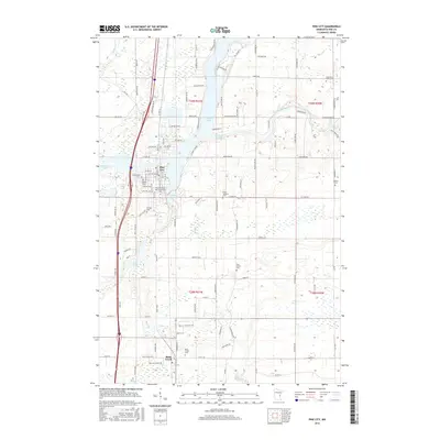
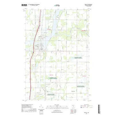
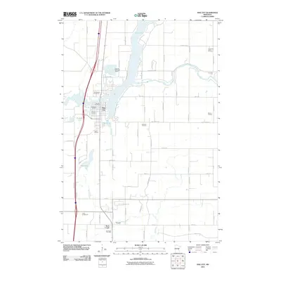 2010 Pine City2010 Print · USGSCovers Pokegama Township, including Pine City, Rock Creek, and other nearby areas
 - 2010 Map of Brook Park, 2010 Print
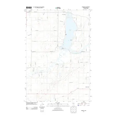
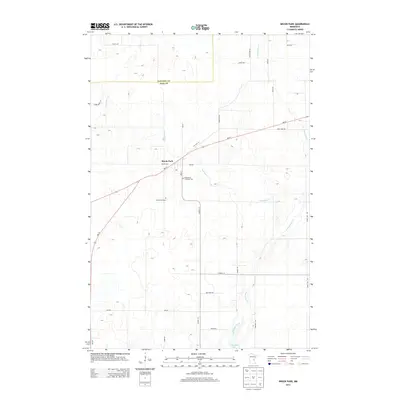
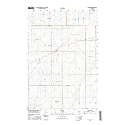
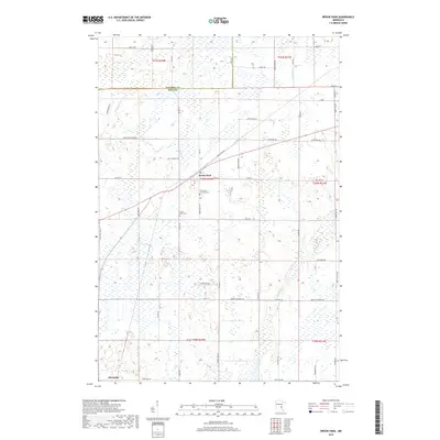
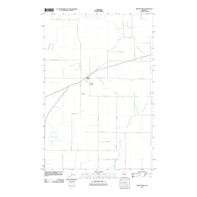 2010 Brook Park2010 Print · USGSCovers Pokegama Township, including Brook Park, Henriette, and other nearby areas
 - 2010 Map of Quamba, 2010 Print
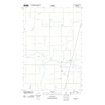
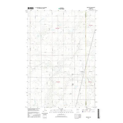
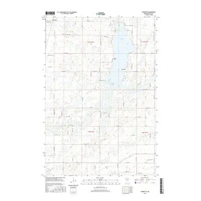
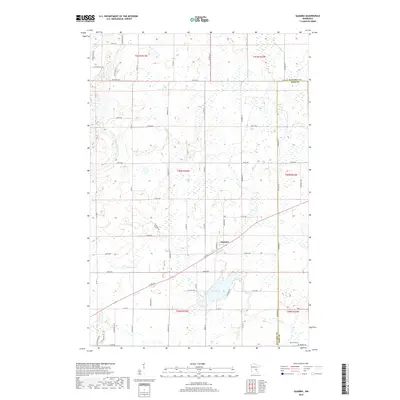
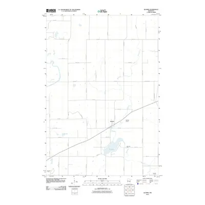 2010 Quamba2010 Print · USGSCovers Pokegama Township, including Quamba, Pomroy Township, and other nearby areas
 - 2010 Map of Henriette, 2010 Print
 2010 Henriette2010 Print · USGSCovers Pokegama Township, including Rock Creek, Henriette, and other nearby areas
 - 2010 Map of Grasston, 2010 Print
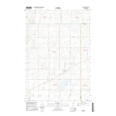
 2010 Grasston2010 Print · USGSCovers Pokegama Township, including Grass Lake, Grasston, and other nearby areas
 - 2013 Map of Beroun, 2013 Print
 2013 Beroun2013 Print · USGSCovers Pokegama Township, including Hinckley, Mission Creek Township, and other nearby areas
 - 2013 Map of Henriette, 2013 Print
 2013 Henriette2013 Print · USGSCovers Pokegama Township, including Rock Creek, Henriette, and other nearby areas
 - 2013 Map of Brook Park, 2013 Print
 2013 Brook Park2013 Print · USGSCovers Pokegama Township, including Brook Park, Henriette, and other nearby areas
 - 2013 Map of Pine City, 2013 Print
 2013 Pine City2013 Print · USGSCovers Pokegama Township, including Pine City, Rock Creek, and other nearby areas
 - 2013 Map of Grasston, 2013 Print
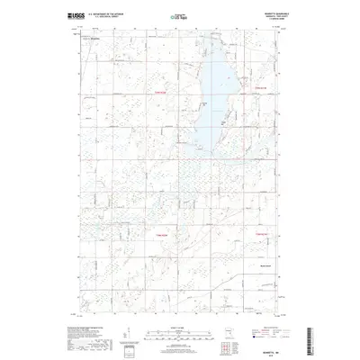
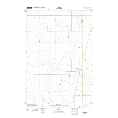 2013 Grasston2013 Print · USGSCovers Pokegama Township, including Grass Lake, Grasston, and other nearby areas
 - 2013 Map of Quamba, 2013 Print
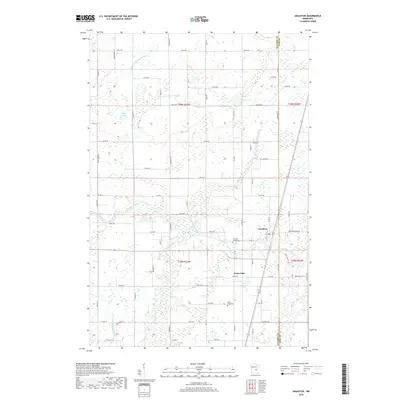
 2013 Quamba2013 Print · USGSCovers Pokegama Township, including Quamba, Pomroy Township, and other nearby areas
 - 2016 Map of Beroun, 2016 Print
 2016 Beroun2016 Print · USGSCovers Pokegama Township, including Hinckley, Mission Creek Township, and other nearby areas
 - 2016 Map of Pine City, 2016 Print
 2016 Pine City2016 Print · USGSCovers Pokegama Township, including Pine City, Rock Creek, and other nearby areas
 - 2016 Map of Brook Park, 2016 Print
 2016 Brook Park2016 Print · USGSCovers Pokegama Township, including Brook Park, Henriette, and other nearby areas
 - 2016 Map of Grasston, 2016 Print
 2016 Grasston2016 Print · USGSCovers Pokegama Township, including Grass Lake, Grasston, and other nearby areas
 - 2016 Map of Henriette, 2016 Print
 2016 Henriette2016 Print · USGSCovers Pokegama Township, including Rock Creek, Henriette, and other nearby areas
 - 2016 Map of Quamba, 2016 Print
 2016 Quamba2016 Print · USGSCovers Pokegama Township, including Quamba, Pomroy Township, and other nearby areas
 - 2019 Map of Grasston, 2019 Print
 2019 Grasston2019 Print · USGSCovers Pokegama Township, including Grass Lake, Grasston, and other nearby areas
 - 2019 Map of Henriette, 2019 Print
 2019 Henriette2019 Print · USGSCovers Pokegama Township, including Rock Creek, Henriette, and other nearby areas
 - 2019 Map of Brook Park, 2019 Print
 2019 Brook Park2019 Print · USGSCovers Pokegama Township, including Brook Park, Henriette, and other nearby areas
 - 2019 Map of Pine City, 2019 Print
 2019 Pine City2019 Print · USGSCovers Pokegama Township, including Pine City, Rock Creek, and other nearby areas
 - 2019 Map of Beroun, 2019 Print
 2019 Beroun2019 Print · USGSCovers Pokegama Township, including Hinckley, Mission Creek Township, and other nearby areas
 - 2019 Map of Quamba, 2019 Print
 2019 Quamba2019 Print · USGSCovers Pokegama Township, including Quamba, Pomroy Township, and other nearby areas
 - 2022 Map of Quamba, 2022 Print
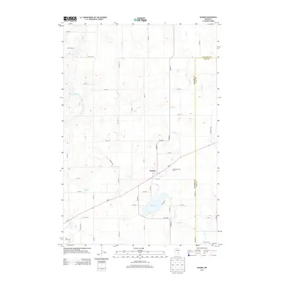
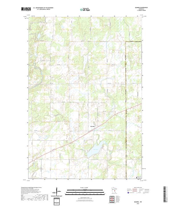 2022 Quamba2022 Print · USGSThe rural landscape of eastern Minnesota is captured here in the early twenty-first century, centered on the settlement of Quamba. Researchers can trace the wetlands and water systems from Mud Lake to the Snake River or locate family sites near Henriette Cem.
Showing maps 1-25 of 30
Top cities near Pokegama Township
- Pine City historical maps
- Rush City historical maps
- Braham historical maps
- Hinckley historical maps
- Rock Creek historical maps
- Harris historical maps
See more
Frequently asked questions
- What are the different types of historical maps available for Pokegama Township?
- What is the oldest map of Pokegama Township?
- Where can I purchase historical maps of Pokegama Township for my home or office?
- Where can I download high-res historical maps of Pokegama Township?
- Are there historical topographic maps available for Pokegama Township?
- Is there historical aerial imagery available for Pokegama Township?
- Where are historical maps of Pokegama Township sourced from?