2020s Maps of Gully, Minnesota
Explore 2 historic maps of Gully from the 2020s. These maps offer a rare glimpse into what life looked like during the 2020s — showing old roads, neighborhoods, homes, and landmarks that have changed or disappeared over time.
Whether you're researching your family's past, planning a metal detecting trip, or studying how Gully's landscape evolved across the 2020s, these high-resolution maps are a powerful tool for exploring the history of this region.
- Focus on a specific era: All maps on this page are from the 2020s, giving you a focused view of this time period.
- See what’s changed: Compare century-old streets, trails, and buildings to today's modern landscape using overlays and satellite layers.
- Research with precision: Use these maps for genealogy, historical research, land use analysis, or educational projects.
- View, download, or print: Maps are fully viewable online in high resolution, and can be downloaded or printed for your own records.
Start exploring Gully's history through authentic maps from the 2020s. This is your window into the past.
Gully, MN maps
(2)- 2022 Map of Gully, 2022 Print
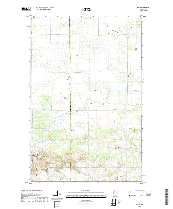 2022 Gully2022 Print · USGSThe village of Gully and the surrounding wetlands are documented here in the early 2020s as they span the Polk and Clearwater county line. Researchers can locate the Lund Lutheran Cem, the private Mathis Airport, and the meandering course of the Lost River.
 - 2022 Map of Trail, 2022 Print
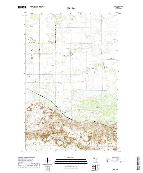 2022 Trail2022 Print · USGSThe rural landscapes around Trail and Gully are captured in this modern survey, showing a world defined by the Lost River and an intricate ditch network. Genealogists can trace family heritage through local landmarks like Sand Valley Cem and Valley Lutheran Cem.
End of results
Showing maps 1-2 of 2
Top cities near Gully
- Fosston historical maps
- Clearbrook historical maps
- Oklee historical maps
- Gonvick historical maps
- Trail historical maps
Top neighborhoods of Gully
Frequently asked questions
- What are the different types of historical maps available for Gully?
- What is the oldest map of Gully?
- Where can I purchase historical maps of Gully for my home or office?
- Where can I download high-res historical maps of Gully?
- Are there historical topographic maps available for Gully?
- Is there historical aerial imagery available for Gully?
- Where are historical maps of Gully sourced from?