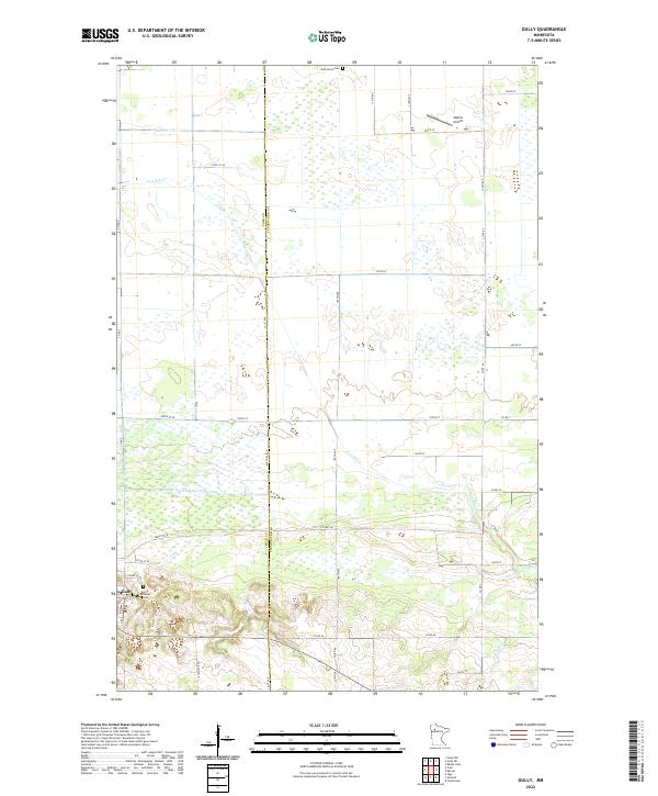
2022 Map of Gully
USGS Topo · Published 2022About this map
The village of Gully anchors this section of northwestern Minnesota, situated along the southern edge of a landscape defined by extensive wetlands and water management. To the north, the Lost River meanders across the terrain, supplemented by engineered drainage like County Ditch Number Eighty-nine, reflecting the region's long history of land reclamation for agriculture. A series of gravel and county roads, including Co Hwy 48 and Co Rd 66, form a strict grid across the Polk Co - Clearwater Co line. Local history is marked by the Lund Lutheran Cem and Oak Grove Cem, while the inclusion of the private Mathis Airport north of the village shows the modern character of this rural landscape.
Find a feature on this map
41 named features on this map. Tap any name to fly to it.
Don’t see what you’re looking for? This feature index may not catch every label — zoom into the map to look around manually.
Map Details
Editions of this 2022 Gully Map
This is the sole edition of this map. No revisions or reprints were ever made.
Other maps of this area

1919 · Fosston
USGS Topo · 1:62,500

1919 · Churnes
USGS Topo · 1:62,500

1919 · Winsor
USGS Topo · 1:62,500

1943 · Bagley
USGS Topo · 1:62,500

1954 · Bemidji
USGS Topo · 1:250,000

1957 · Bemidji
USGS Topo · 1:250,000

1958 · Bemidji
USGS Topo · 1:250,000

1969 · Olga
USGS Topo · 1:24,000

1969 · Clearbrook
USGS Topo · 1:24,000

1969 · Gonvick
USGS Topo · 1:24,000