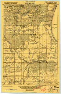
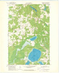
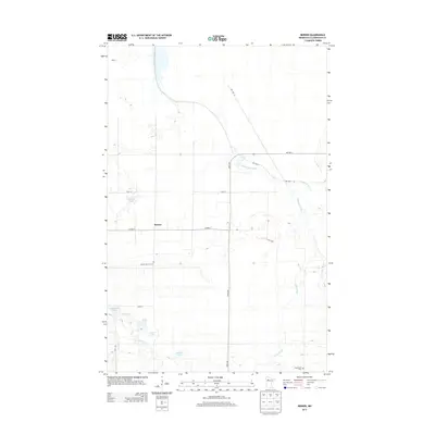
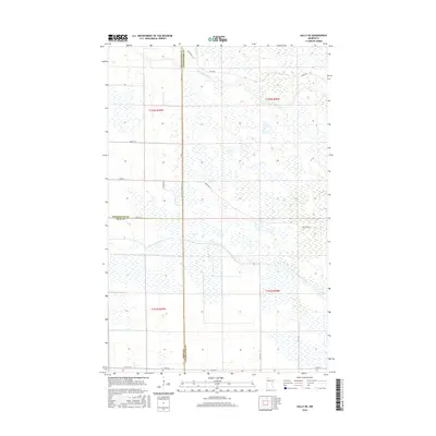
1919 Map of Churnes
USGS Topo · Published 1919About this map
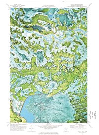
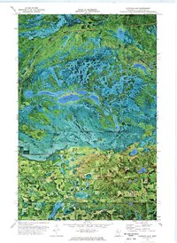
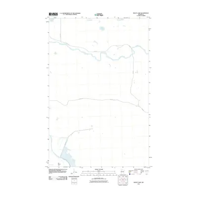
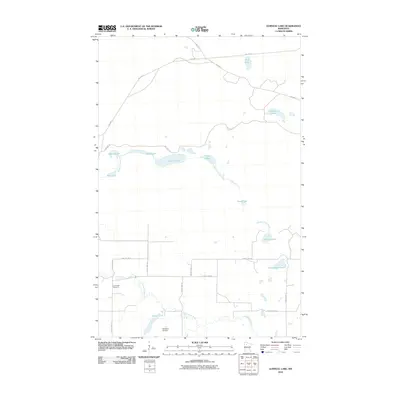
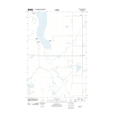
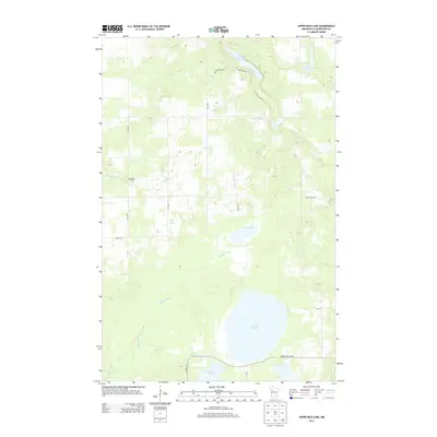
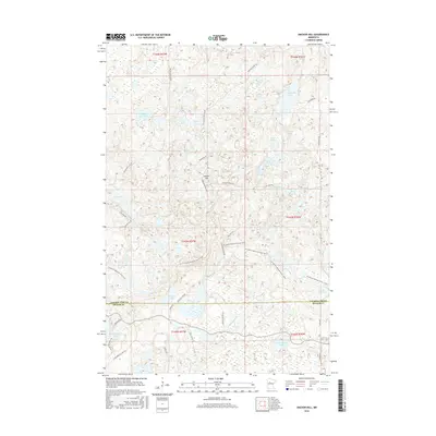
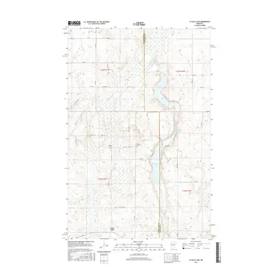
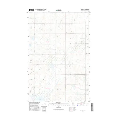
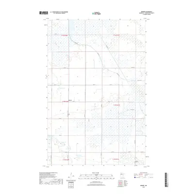
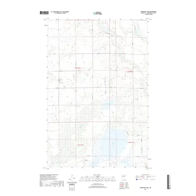
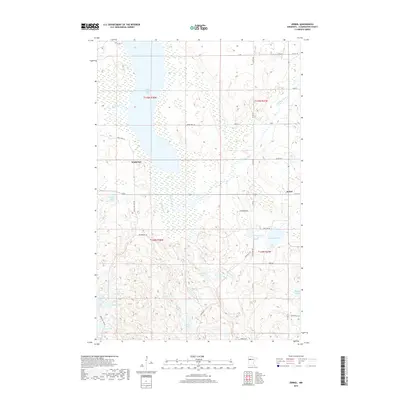
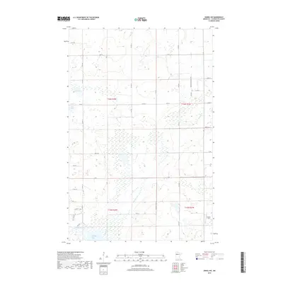
Red Lake Indian Reservation dominates the center of this 1919 military survey, documenting a landscape defined by its waterways and timbered tracts. The winding Red Lake River and Clearwater River carve through the terrain, meeting at the western edge of Lower Red Lake. Small settlements like Churnes and Berner serve as focal points for local history, with the latter featuring a dedicated School and Church. A complex network of drainage infrastructure, marked simply as Ditch, reflects early efforts to manage the wetlands near Meadows. The map also traces the Original Survey Boundary and the Red Lake Indian Reservation Boundary, providing clear demarcation of land divisions between the townships of Greenwood, Leon, and Sinclair. This document captures the transition from undisturbed timberland to a rural agricultural and reservation economy along the Red Lake Falls Road.
Find a feature on this map
32 named features on this map. Tap any name to fly to it.
Don’t see what you’re looking for? This feature index may not catch every label — zoom into the map to look around manually.
Map Details
Editions of this 1919 Churnes Map
This is the sole edition of this map. No revisions or reprints were ever made.
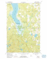
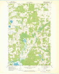
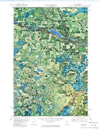
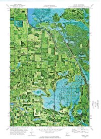
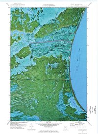
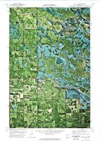
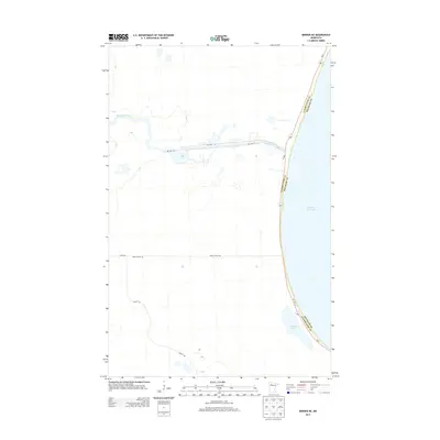
Historical Maps of Berner Through Time
85 maps found
1919 Churnes
Clearwater County, MN
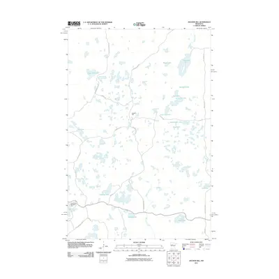
1969 Anchor Hill
Clearwater County, MN
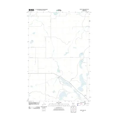
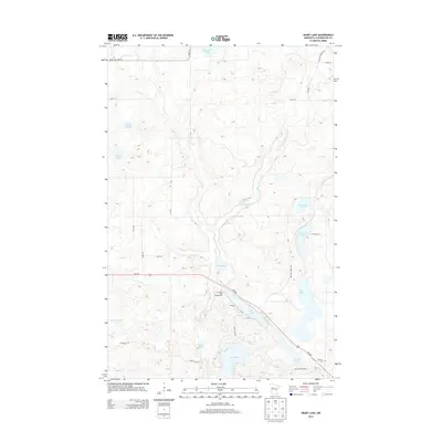
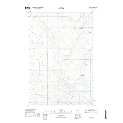
1969 Heart Lake
Clearwater County, MN
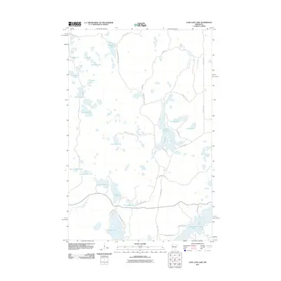
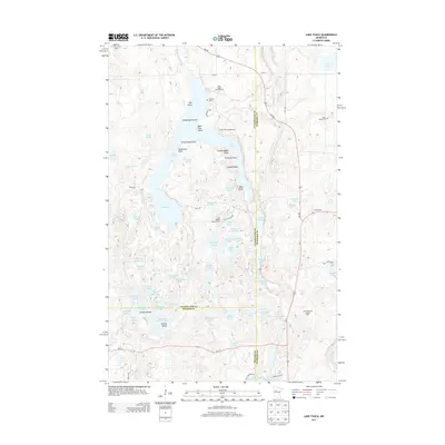
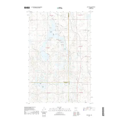
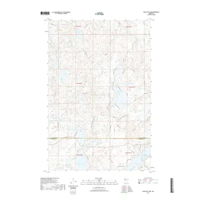
1969 Long Lost Lake
Clearwater County, MN
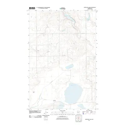
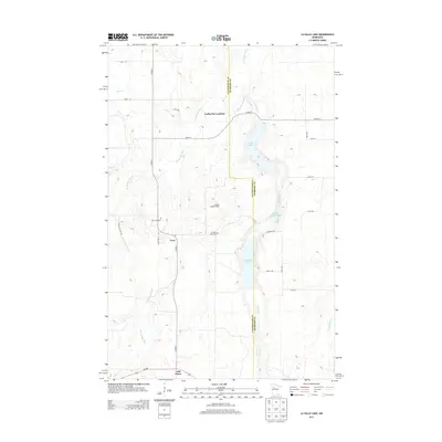
1969 Upper Rice Lake
Clearwater County, MN
1969 Zerkel
Clearwater County, MN
1969 Zerkel NW
Clearwater County, MN
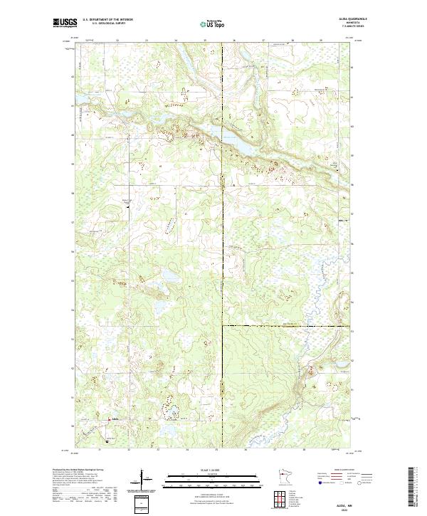
1972 Alida
Clearwater County, MN
1972 Bailey Lake
Clearwater County, MN
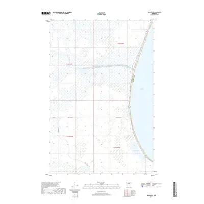
1972 Berner
Clearwater County, MN
1972 Berner NE
Clearwater County, MN
1972 Gully NE
Clearwater County, MN
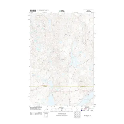
1972 Gurneau Lake
Clearwater County, MN
1972 Lake Itasca
Clearwater County, MN
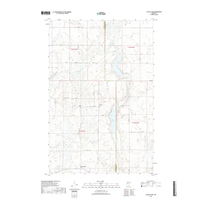
1972 La Salle Lake
Clearwater County, MN
2010 Alida
Clearwater County, MN
2010 Bailey Lake
Clearwater County, MN
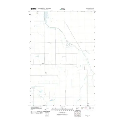
2010 Berner
Clearwater County, MN
2010 Berner NE
Clearwater County, MN
2010 Gully NE
Clearwater County, MN
2010 Gurneau Lake
Clearwater County, MN
2010 Lake Itasca
Clearwater County, MN
2010 La Salle Lake
Clearwater County, MN
2010 Zerkel NW
Clearwater County, MN
2011 Anchor Hill
Clearwater County, MN
2011 Heart Lake
Clearwater County, MN
2011 Long Lost Lake
Clearwater County, MN
2011 Upper Rice Lake
Clearwater County, MN
2011 Zerkel
Clearwater County, MN
2013 Alida
Clearwater County, MN
2013 Anchor Hill
Clearwater County, MN
2013 Bailey Lake
Clearwater County, MN
2013 Berner
Clearwater County, MN
2013 Berner NE
Clearwater County, MN
2013 Gully NE
Clearwater County, MN
2013 Gurneau Lake
Clearwater County, MN
2013 Heart Lake
Clearwater County, MN
2013 Lake Itasca
Clearwater County, MN
2013 La Salle Lake
Clearwater County, MN
2013 Long Lost Lake
Clearwater County, MN
2013 Upper Rice Lake
Clearwater County, MN
2013 Zerkel
Clearwater County, MN
2013 Zerkel NW
Clearwater County, MN
2016 Alida
Clearwater County, MN
2016 Anchor Hill
Clearwater County, MN
2016 Bailey Lake
Clearwater County, MN
2016 Berner
Clearwater County, MN
2016 Berner NE
Clearwater County, MN
2016 Gully NE
Clearwater County, MN
2016 Gurneau Lake
Clearwater County, MN
2016 Heart Lake
Clearwater County, MN
2016 Lake Itasca
Clearwater County, MN
2016 La Salle Lake
Clearwater County, MN
2016 Long Lost Lake
Clearwater County, MN
2016 Upper Rice Lake
Clearwater County, MN
2016 Zerkel
Clearwater County, MN
2016 Zerkel NW
Clearwater County, MN
2019 Alida
Clearwater County, MN
2019 Anchor Hill
Clearwater County, MN
2019 Bailey Lake
Clearwater County, MN
2019 Berner
Clearwater County, MN
2019 Berner NE
Clearwater County, MN
2019 Gully NE
Clearwater County, MN
2019 Gurneau Lake
Clearwater County, MN
2019 Heart Lake
Clearwater County, MN
2019 Lake Itasca
Clearwater County, MN
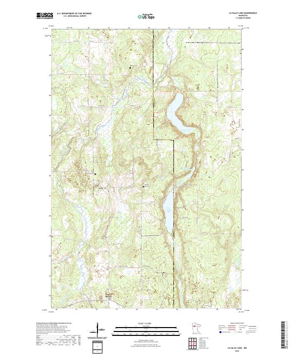
2019 La Salle Lake
Clearwater County, MN
2019 Long Lost Lake
Clearwater County, MN
2019 Upper Rice Lake
Clearwater County, MN
2019 Zerkel
Clearwater County, MN
2019 Zerkel NW
Clearwater County, MN
2022 Alida
Clearwater County, MN
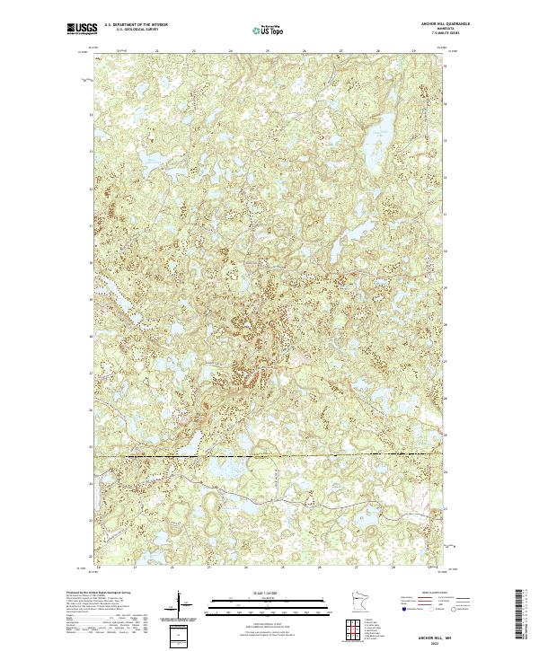
2022 Anchor Hill
Clearwater County, MN
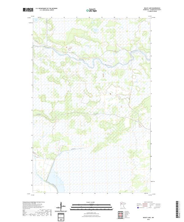
2022 Bailey Lake
Clearwater County, MN
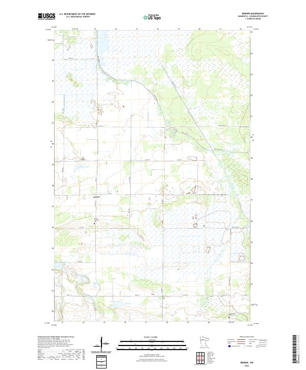
2022 Berner
Clearwater County, MN
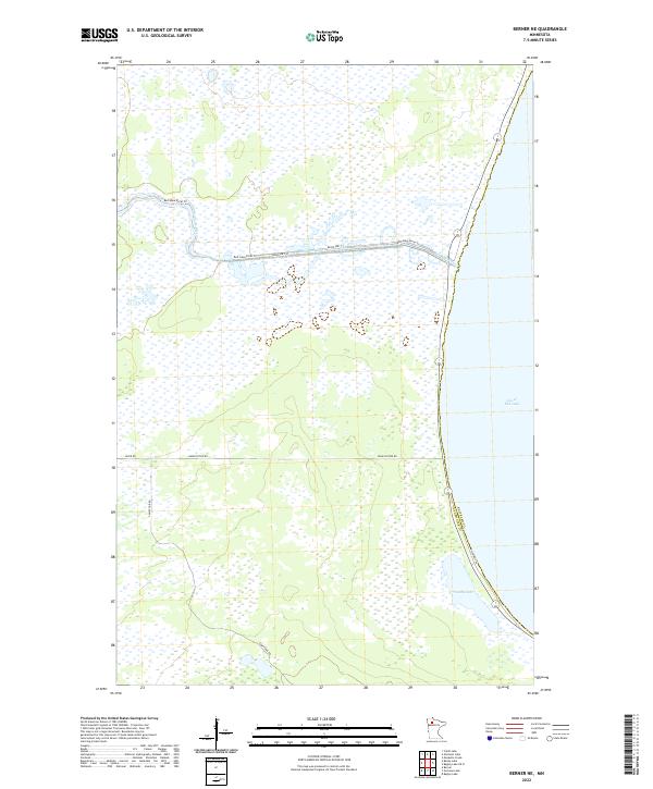
2022 Berner NE
Clearwater County, MN
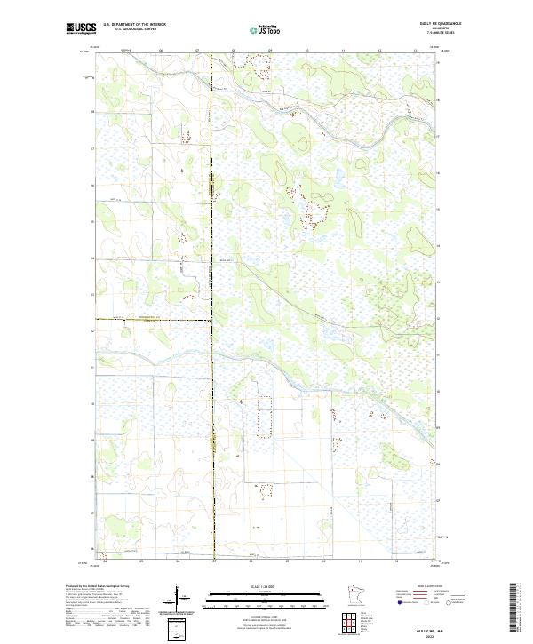
2022 Gully NE
Clearwater County, MN
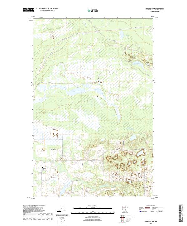
2022 Gurneau Lake
Clearwater County, MN
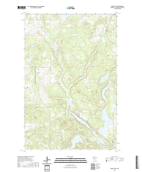
2022 Heart Lake
Clearwater County, MN
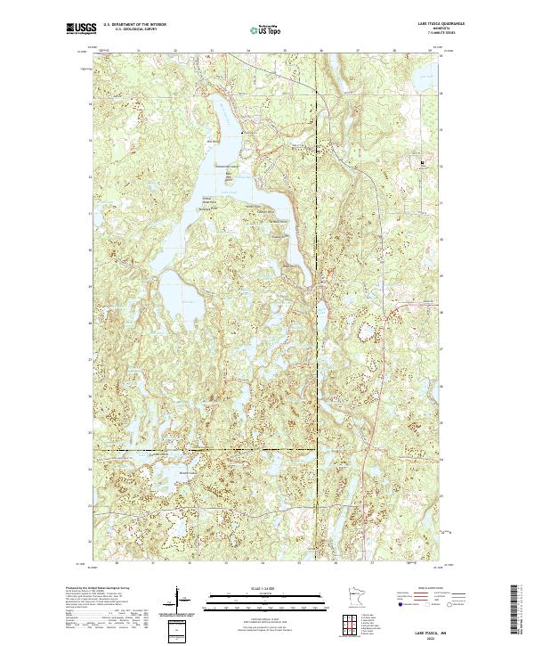
2022 Lake Itasca
Clearwater County, MN
2022 La Salle Lake
Clearwater County, MN
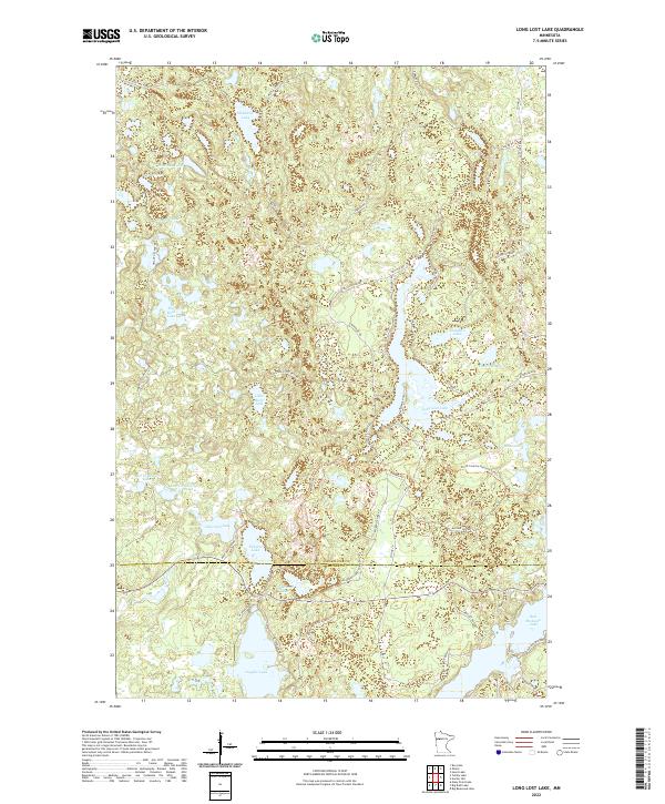
2022 Long Lost Lake
Clearwater County, MN
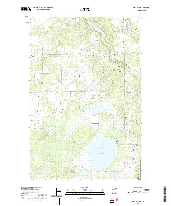
2022 Upper Rice Lake
Clearwater County, MN
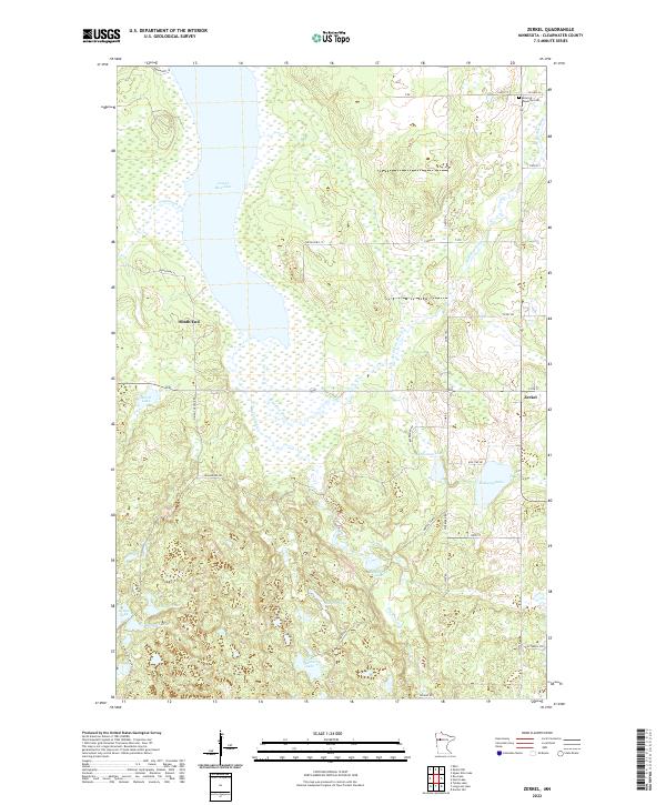
2022 Zerkel
Clearwater County, MN
2022 Zerkel NW
Clearwater County, MN