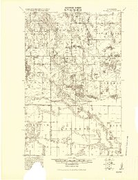
1919 Map of Solway
USGS Topo · Published 1919About this map
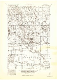
The Indian Reservation Boundary cuts a diagonal path across this northern Minnesota landscape, separating the townships of Dudley and Lammers from the tribal lands to the south. Compiled by the Corps of Engineers at the end of the First World War, the sheet documents a transitional era of settlement centered around the logging and rail industries. The Great Northern Railway anchors the southern settlements of Solway and Wilton, while the Minneapolis St Paul and Sault Ste Marie Railway serves the remote outposts of Pinewood and Aure further north.
Find a feature on this map
41 named features on this map. Tap any name to fly to it.
Don’t see what you’re looking for? This feature index may not catch every label — zoom into the map to look around manually.
Map Details
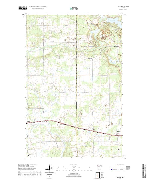
Editions of this 1919 Solway Map
This is the sole edition of this map. No revisions or reprints were ever made.
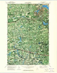
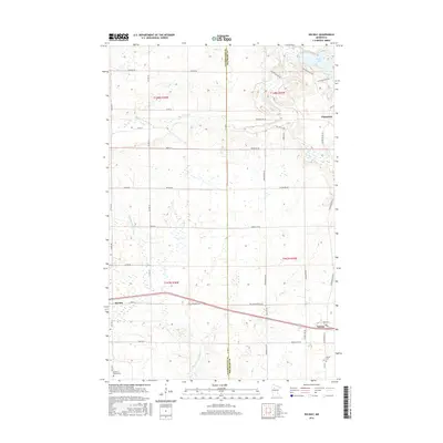
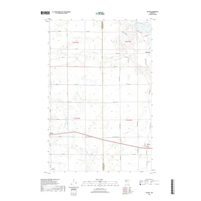
Historical Maps of Wilton Through Time
8 maps found