2000s (21st Century) Maps of Maplewood, Minnesota
Explore 20 historic maps of Maplewood from the 2000s (21st Century). These maps offer a rare glimpse into what life looked like during the 2000s — showing old roads, neighborhoods, homes, and landmarks that have changed or disappeared over time.
Whether you're researching your family's past, planning a metal detecting trip, or studying how Maplewood's landscape evolved across the 2000s, these high-resolution maps are a powerful tool for exploring the history of this region.
- Focus on a specific era: All maps on this page are from the 2000s, giving you a focused view of this time period.
- See what’s changed: Compare century-old streets, trails, and buildings to today's modern landscape using overlays and satellite layers.
- Research with precision: Use these maps for genealogy, historical research, land use analysis, or educational projects.
- View, download, or print: Maps are fully viewable online in high resolution, and can be downloaded or printed for your own records.
Start exploring Maplewood's history through authentic maps from the 2000s. This is your window into the past.
Maplewood, MN maps
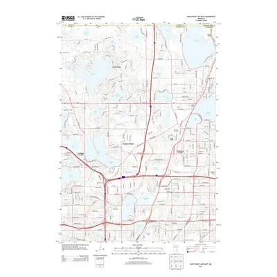
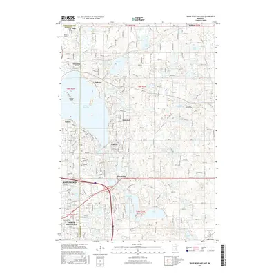
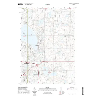
(20)- 2010 Map of White Bear Lake East, 2010 Print
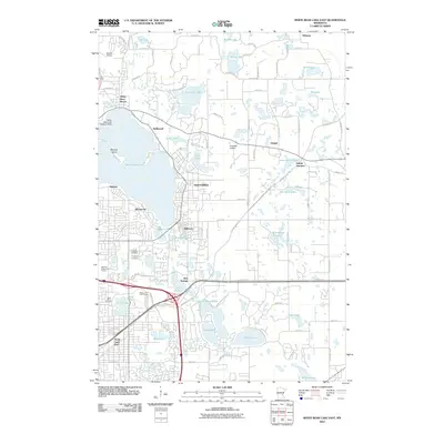 2010 White Bear Lake East2010 Print · USGSCovers Maplewood, including White Bear Lake, White Bear Township, and other nearby areas
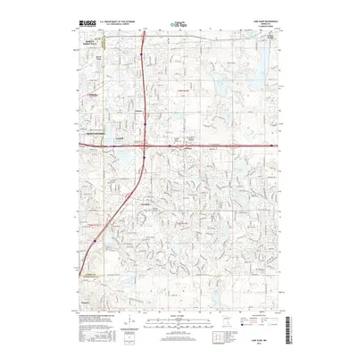
 - 2010 Map of Lake Elmo, 2010 Print
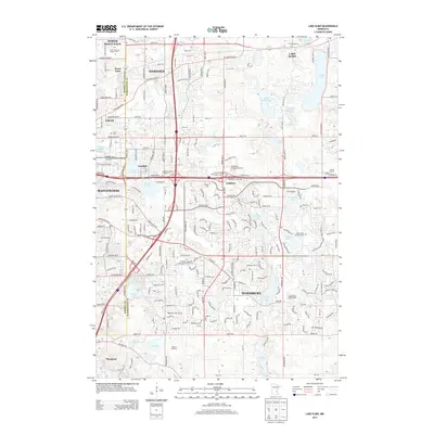
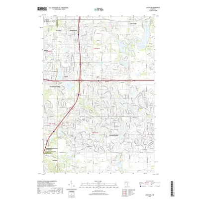
 2010 Lake Elmo2010 Print · USGSCovers Maplewood, including Woodbury, Lake Elmo, and other nearby areas
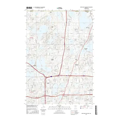
 - 2010 Map of White Bear Lake West, 2010 Print
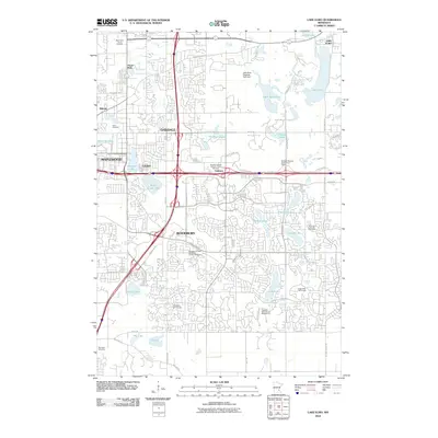
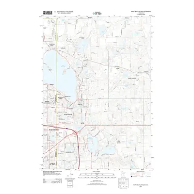
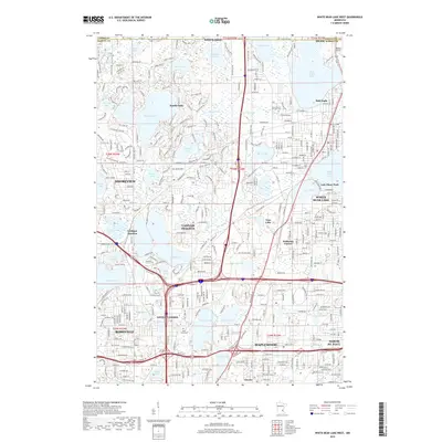
 2010 White Bear Lake West2010 Print · USGSCovers Maplewood, including Roseville, Shoreview, and other nearby areas
 - 2010 Map of Saint Paul East, 2010 Print
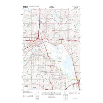
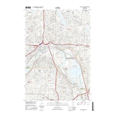
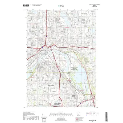
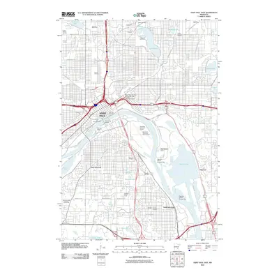 2010 Saint Paul East2010 Print · USGSCovers Maplewood, including Saint Paul, Inver Grove Heights, and other nearby areas
 - 2013 Map of White Bear Lake West, 2013 Print
 2013 White Bear Lake West2013 Print · USGSCovers Maplewood, including Roseville, Shoreview, and other nearby areas
 - 2013 Map of White Bear Lake East, 2013 Print
 2013 White Bear Lake East2013 Print · USGSCovers Maplewood, including White Bear Lake, White Bear Township, and other nearby areas
 - 2013 Map of Lake Elmo, 2013 Print
 2013 Lake Elmo2013 Print · USGSCovers Maplewood, including Woodbury, Lake Elmo, and other nearby areas
 - 2013 Map of Saint Paul East, 2013 Print
 2013 Saint Paul East2013 Print · USGSCovers Maplewood, including Saint Paul, Inver Grove Heights, and other nearby areas
 - 2016 Map of Saint Paul East, 2016 Print
 2016 Saint Paul East2016 Print · USGSCovers Maplewood, including Saint Paul, Inver Grove Heights, and other nearby areas
 - 2016 Map of White Bear Lake East, 2016 Print
 2016 White Bear Lake East2016 Print · USGSCovers Maplewood, including White Bear Lake, White Bear Township, and other nearby areas
 - 2016 Map of Lake Elmo, 2016 Print
 2016 Lake Elmo2016 Print · USGSCovers Maplewood, including Woodbury, Lake Elmo, and other nearby areas
 - 2016 Map of White Bear Lake West, 2016 Print
 2016 White Bear Lake West2016 Print · USGSCovers Maplewood, including Roseville, Shoreview, and other nearby areas
 - 2019 Map of Lake Elmo, 2019 Print
 2019 Lake Elmo2019 Print · USGSCovers Maplewood, including Woodbury, Lake Elmo, and other nearby areas
 - 2019 Map of Saint Paul East, 2019 Print
 2019 Saint Paul East2019 Print · USGSCovers Maplewood, including Saint Paul, Inver Grove Heights, and other nearby areas
 - 2019 Map of White Bear Lake East, 2019 Print
 2019 White Bear Lake East2019 Print · USGSCovers Maplewood, including White Bear Lake, White Bear Township, and other nearby areas
 - 2019 Map of White Bear Lake West, 2019 Print
 2019 White Bear Lake West2019 Print · USGSCovers Maplewood, including Roseville, Shoreview, and other nearby areas
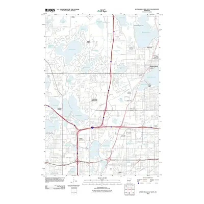
 - 2022 Map of White Bear Lake West, 2022 Print
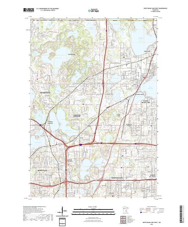 2022 White Bear Lake West2022 Print · USGSRamsey County's northern lakes and suburbs are shown in high detail during this contemporary period of growth and preservation. Researchers can locate family landmarks like Saint Johns Cem or trace the legacy of rail and road at Cardigan Junction and along the BNSF Railway.
 - 2022 Map of Lake Elmo, 2022 Print
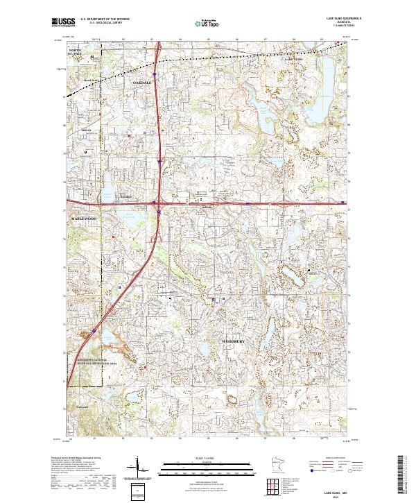 2022 Lake Elmo2022 Print · USGSThe eastern suburbs of St. Paul are captured here in the early 2020s as residential growth fills the corridor between the Twin Cities and the St. Croix Valley. Researchers can locate established community centers like Oakdale and Lake Elmo alongside local landmarks such as Union Cemetery and Tanners Lake.
 - 2022 Map of Saint Paul East, 2022 Print
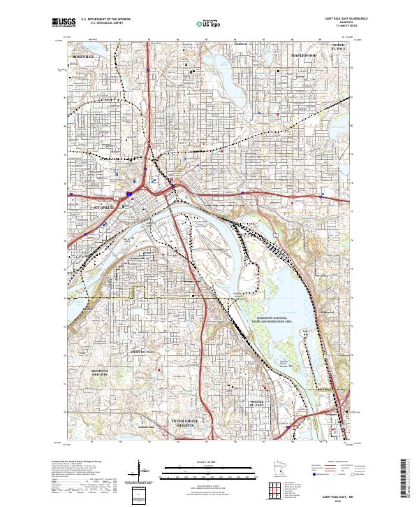 2022 Saint Paul East2022 Print · USGSGreater St. Paul and its eastern suburbs are shown here in the 2020s, centered on the strategic bend of the Mississippi River. Researchers can trace the legacy of urban development through civic landmarks like the Ramsey County Courthouse and numerous historic grounds such as Oakland Cem and Riverview Cem.
 - 2022 Map of White Bear Lake East, 2022 Print
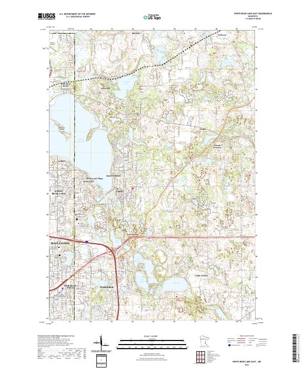 2022 White Bear Lake East2022 Print · USGSThe eastern shores of White Bear Lake and the surrounding suburbs of St. Paul are captured here in the early 2020s. Researchers can locate family heritage at Lakeview Cem or trace the early settlement footprints of Mahtomedi and Birchwood Village.
End of results
Showing maps 1-20 of 20
Top cities near Maplewood
- Minneapolis historical maps
- Saint Paul historical maps
- Bloomington historical maps
- Woodbury historical maps
- Eagan historical maps
- Coon Rapids historical maps
See more
Top neighborhoods of Maplewood
- Midvale historical maps
- Gladstone historical maps
- Battle Creek historical maps
- Beaver Lake historical maps
- Highwood historical maps
- Sherwood Park Neighborhood historical maps
See more
Frequently asked questions
- What are the different types of historical maps available for Maplewood?
- What is the oldest map of Maplewood?
- Where can I purchase historical maps of Maplewood for my home or office?
- Where can I download high-res historical maps of Maplewood?
- Are there historical topographic maps available for Maplewood?
- Is there historical aerial imagery available for Maplewood?
- Where are historical maps of Maplewood sourced from?