Old Maps of Garnes, Minnesota for Genealogy
Trace your family roots with 11 historic maps of Garnes. These high-res maps reveal old neighborhoods, homesites, landmarks, and streets — helping you uncover where your ancestors lived and how the area evolved over time.
- Explore historic neighborhoods: Identify where your relatives may have lived in the 1800s or 1900s.
- Compare maps over time: Trace the changes in streets, buildings, and landmarks for multi-generational research.
- Perfect for genealogy & ancestry research: Used by family historians and researchers to map out lineage and migration.
These maps are an incredible resource for exploring your personal connection to Garnes's past.
Garnes, MN maps
(11)- 1919 Map of Grit
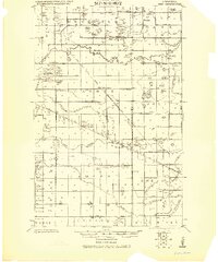 1919 Grit1919 Print · USGSRed Lake and Polk counties are shown here at the close of the Great War, as drainage projects reshaped the marshy landscape. Genealogists can trace family roots through small settlements like Oklee, Brooks Station, and Lambert, or locate rural School sites and the Old Red Lake Indian Reservation Boundary Line.
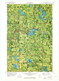
 - 1954 Map of Bemidji, 1966 Print
 1954 Bemidji1966 Print · USGSNorthern Minnesota's lake country and timberlands are captured here at a mid-century peak of rail and road expansion. Genealogists and historians can trace family roots through numerous small settlements like Mahnomen, Clearbrook, and Walker, while locating local landmarks such as White Earth Church.4 unique versions available
 - 1957 Map of Bemidji
 1957 Bemidji1957 Print · USGSNorthern Minnesota in the mid-fifties is defined by its massive lake systems and the sprawling timberlands of the Chippewa National Forest. Genealogists and researchers can trace old rail lines like the Great Northern RR and locate settlements such as Moberg, Naytahwaush, and Lake Itasca.
 - 1958 Map of Bemidji
 1958 Bemidji1958 Print · USGSNorthern Minnesota in the late fifties is a vast landscape of tribal lands and timber forests tied together by rail. Genealogists and researchers can trace old rail stops and lakeside communities from Walker to Fosston, or explore the source of the Mississippi at Lake Itasca.
 - 1972 Map of Oklee NW, 1976 Print
 1972 Oklee NW1976 Print · USGSRed Lake and Pennington counties are shown in the early 1970s as agricultural drainage projects and the Soo Line railroad defined the rural landscape. Local historians can trace the Indian Reservation Boundary and locate landmarks like the Finnish Cem and Ebenezer Ch.
 - 1985 Map of Fosston
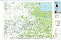 1985 Fosston1985 Print · USGSNorthern Minnesota's lake country and timberlands are captured here in the mid-eighties, from the shores of Lower Red Lake to the Mississippi Headwaters State Forest. Genealogists and local historians can trace rail-town development along the Burlington Northern line through Fosston, Bagley, and McIntosh.2 unique versions available
 - 2010 Map of Oklee NW, 2010 Print
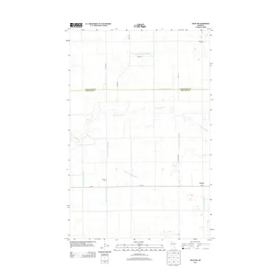
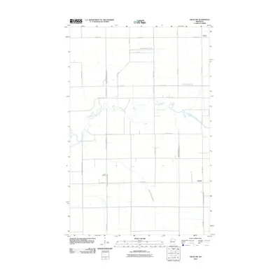 2010 Oklee NW2010 Print · USGSCovers Garnes, including Pennington County, Red Lake County, and other nearby areas
 - 2013 Map of Oklee NW, 2013 Print
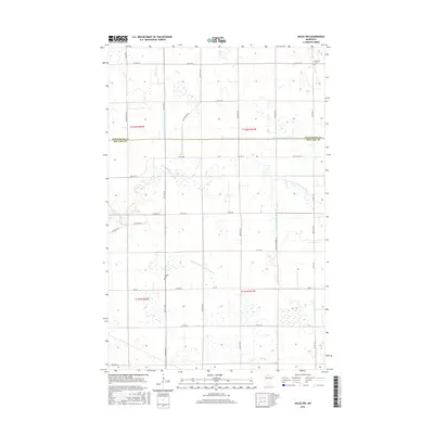
 2013 Oklee NW2013 Print · USGSCovers Garnes, including Pennington County, Red Lake County, and other nearby areas
 - 2016 Map of Oklee NW, 2016 Print
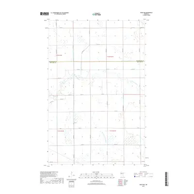
 2016 Oklee NW2016 Print · USGSCovers Garnes, including Pennington County, Red Lake County, and other nearby areas
 - 2019 Map of Oklee NW, 2019 Print
 2019 Oklee NW2019 Print · USGSCovers Garnes, including Pennington County, Red Lake County, and other nearby areas
 - 2022 Map of Oklee NW, 2022 Print
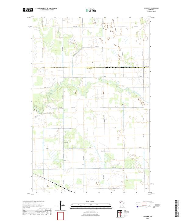 2022 Oklee NW2022 Print · USGSRed Lake and Pennington counties are shown in the early twenty-first century, revealing an intricate landscape of agricultural drainage and rural settlement. Genealogists can locate family sites near Finnish Cem or Ebenezer Cem and trace the path of the Clearwater River.
End of results
Showing maps 1-11 of 11
Top cities near Garnes
Frequently asked questions
- What are the different types of historical maps available for Garnes?
- What is the oldest map of Garnes?
- Where can I purchase historical maps of Garnes for my home or office?
- Where can I download high-res historical maps of Garnes?
- Are there historical topographic maps available for Garnes?
- Is there historical aerial imagery available for Garnes?
- Where are historical maps of Garnes sourced from?