Old Maps of Boon Lake Township, Minnesota for Genealogy
Trace your family roots with 18 historic maps of Boon Lake Township. These high-res maps reveal old neighborhoods, homesites, landmarks, and streets — helping you uncover where your ancestors lived and how the area evolved over time.
- Explore historic neighborhoods: Identify where your relatives may have lived in the 1800s or 1900s.
- Compare maps over time: Trace the changes in streets, buildings, and landmarks for multi-generational research.
- Perfect for genealogy & ancestry research: Used by family historians and researchers to map out lineage and migration.
These maps are an incredible resource for exploring your personal connection to Boon Lake Township's past.
Boon Lake Township, MN maps
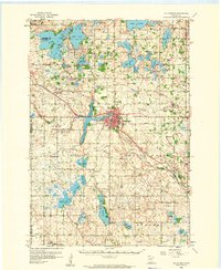
(18)- 1953 Map of New Ulm, 1968 Print
 1953 New Ulm1968 Print · USGSCovers Boon Lake Township, including Mankato, North Mankato, and other nearby areas3 unique versions available
 - 1957 Map of New Ulm
 1957 New Ulm1957 Print · USGSCovers Boon Lake Township, including Mankato, North Mankato, and other nearby areas
 - 1958 Map of New Ulm
 1958 New Ulm1958 Print · USGSCovers Boon Lake Township, including Mankato, North Mankato, and other nearby areas
 - 1958 Map of Hutchinson, 1959 Print
 1958 Hutchinson1959 Print · USGSCovers Boon Lake Township, including Hutchinson, Greenleaf, and other nearby areas
 - 1967 Map of New Ulm
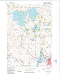
 1967 New Ulm1967 Print · USGSCovers Boon Lake Township, including Mankato, North Mankato, and other nearby areas
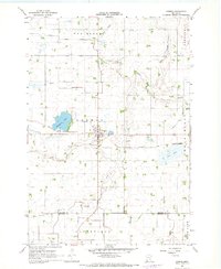
 - 1967 Map of Churchill, 1968 Print
 1967 Churchill1968 Print · USGSCovers Boon Lake Township, including Hector, Churchill, and other nearby areas
 - 1967 Map of Cedar Mills, 1968 Print
 1967 Cedar Mills1968 Print · USGSCovers Boon Lake Township, including Cedar Mills, Corvuso, and other nearby areas
 - 1967 Map of Lake Allie, 1968 Print
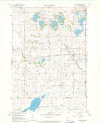
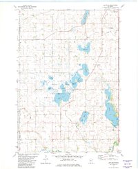
 1967 Lake Allie1968 Print · USGSCovers Boon Lake Township, including Lakeside, Preston Lake Township, and other nearby areas
 - 1967 Map of Cosmos, 1968 Print
 1967 Cosmos1968 Print · USGSCovers Boon Lake Township, including Cosmos, Cosmos Mobile Home Park, and other nearby areas
 - 1982 Map of Heatwole
 1982 Heatwole1982 Print · USGSCovers Boon Lake Township, including Hutchinson, Sumter Township, and other nearby areas
 - 1982 Map of Hutchinson West
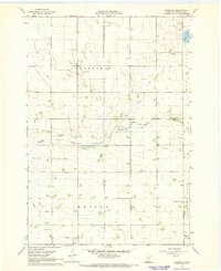
 1982 Hutchinson West1982 Print · USGSCovers Boon Lake Township, including Hutchinson, Greenleaf, and other nearby areas2 unique versions available
 - 1986 Map of Glencoe
 1986 Glencoe1986 Print · USGSCovers Boon Lake Township, including Hutchinson, Glencoe, and other nearby areas2 unique versions available
 - 2022 Map of Churchill, 2022 Print
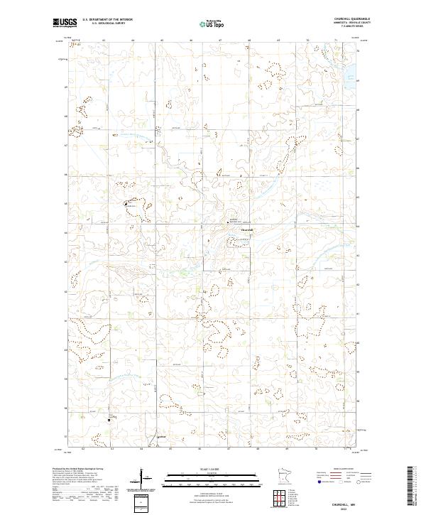 2022 Churchill2022 Print · USGSCovers Boon Lake Township, including Hector, Churchill, and other nearby areas
 - 2022 Map of Lake Allie, 2022 Print
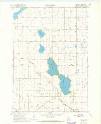
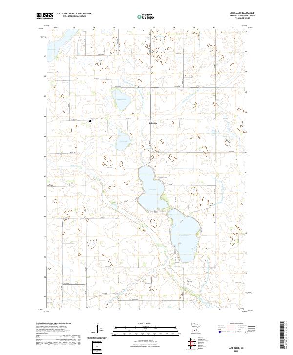 2022 Lake Allie2022 Print · USGSCovers Boon Lake Township, including Lakeside, Preston Lake Township, and other nearby areas
 - 2022 Map of Heatwole, 2022 Print
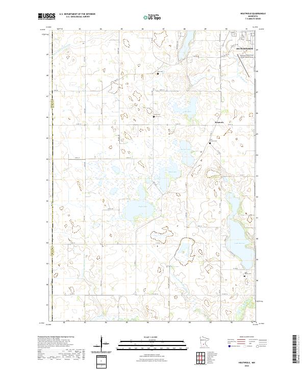 2022 Heatwole2022 Print · USGSCovers Boon Lake Township, including Hutchinson, Collins Township, and other nearby areas
 - 2022 Map of Cedar Mills, 2022 Print
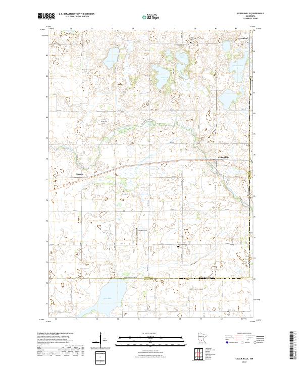 2022 Cedar Mills2022 Print · USGSCovers Boon Lake Township, including Cedar Mills, Corvuso, and other nearby areas
 - 2022 Map of Cosmos, 2022 Print
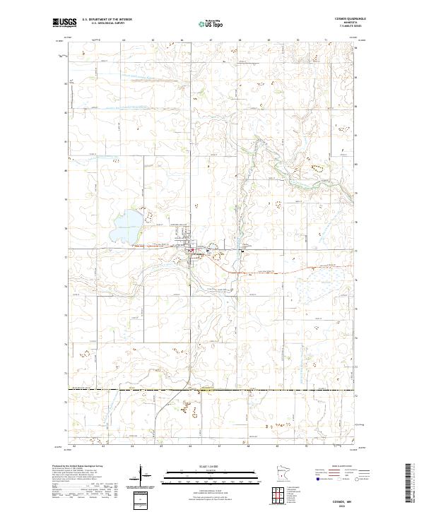 2022 Cosmos2022 Print · USGSCovers Boon Lake Township, including Cosmos, Cosmos Mobile Home Park, and other nearby areas
 - 2022 Map of Hutchinson West, 2022 Print
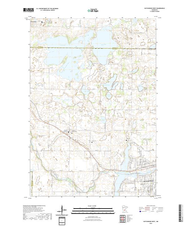 2022 Hutchinson West2022 Print · USGSCovers Boon Lake Township, including Hutchinson, Greenleaf, and other nearby areas
End of results
Showing maps 1-18 of 18
Top cities near Boon Lake Township
- Hutchinson historical maps
- Hector historical maps
- Brownton historical maps
- Buffalo Lake historical maps
- Greenleaf historical maps
- Cosmos historical maps
See more
Top neighborhoods of Boon Lake Township
Frequently asked questions
- What are the different types of historical maps available for Boon Lake Township?
- What is the oldest map of Boon Lake Township?
- Where can I purchase historical maps of Boon Lake Township for my home or office?
- Where can I download high-res historical maps of Boon Lake Township?
- Are there historical topographic maps available for Boon Lake Township?
- Is there historical aerial imagery available for Boon Lake Township?
- Where are historical maps of Boon Lake Township sourced from?