2000s (21st Century) Maps of Eagles Nest, Eagles Nest Township
Explore 5 historic maps of Eagles Nest from the 2000s (21st Century). These maps offer a rare glimpse into what life looked like during the 2000s — showing old roads, neighborhoods, homes, and landmarks that have changed or disappeared over time.
Whether you're researching your family's past, planning a metal detecting trip, or studying how Eagles Nest's landscape evolved across the 2000s, these high-resolution maps are a powerful tool for exploring the history of this region.
- Focus on a specific era: All maps on this page are from the 2000s, giving you a focused view of this time period.
- See what’s changed: Compare century-old streets, trails, and buildings to today's modern landscape using overlays and satellite layers.
- Research with precision: Use these maps for genealogy, historical research, land use analysis, or educational projects.
- View, download, or print: Maps are fully viewable online in high resolution, and can be downloaded or printed for your own records.
Start exploring Eagles Nest's history through authentic maps from the 2000s. This is your window into the past.
Eagles Nest, Eagles Nest Township maps
(5)- 2011 Map of Eagles Nest, 2011 Print
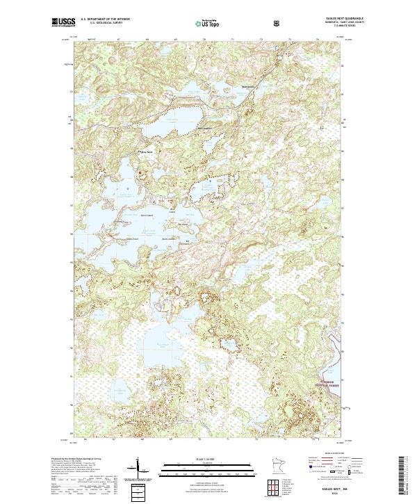
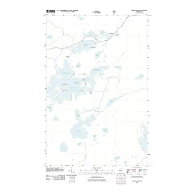 2011 Eagles Nest2011 Print · USGSCovers Eagles Nest, including Eagles Nest Township, Bear Head Lake, and other nearby areas
 - 2013 Map of Eagles Nest, 2013 Print
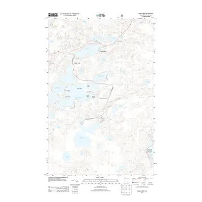 2013 Eagles Nest2013 Print · USGSCovers Eagles Nest, including Eagles Nest Township, Bear Head Lake, and other nearby areas
 - 2016 Map of Eagles Nest, 2016 Print
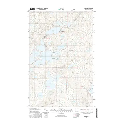 2016 Eagles Nest2016 Print · USGSCovers Eagles Nest, including Eagles Nest Township, Bear Head Lake, and other nearby areas
 - 2019 Map of Eagles Nest, 2019 Print
 2019 Eagles Nest2019 Print · USGSCovers Eagles Nest, including Eagles Nest Township, Bear Head Lake, and other nearby areas
 - 2022 Map of Eagles Nest, 2022 Print
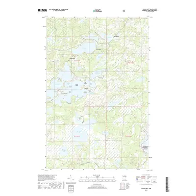
 2022 Eagles Nest2022 Print · USGSNear the edge of the Iron Range in the early 2020s, this area shows a dense network of lakes and forest trails north of the Mesabi. Researchers can trace the layout of small communities like McComber and Robinson or locate specific shoreline landmarks such as Stocking Point and Ruths Island.
End of results
Showing maps 1-5 of 5
Top cities near Eagles Nest
- Ely historical maps
- Hoyt Lakes historical maps
- Babbitt historical maps
- Embarrass historical maps
- Tower historical maps
Frequently asked questions
- What are the different types of historical maps available for Eagles Nest?
- What is the oldest map of Eagles Nest?
- Where can I purchase historical maps of Eagles Nest for my home or office?
- Where can I download high-res historical maps of Eagles Nest?
- Are there historical topographic maps available for Eagles Nest?
- Is there historical aerial imagery available for Eagles Nest?
- Where are historical maps of Eagles Nest sourced from?